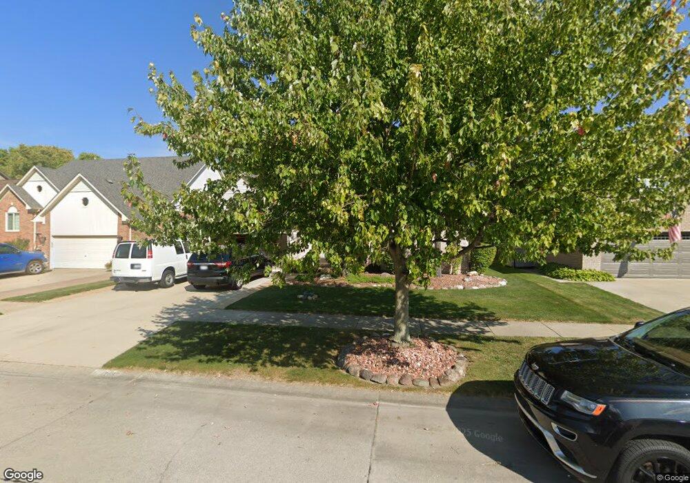
42892 Biland Dr Clinton Township, MI 48038
Estimated Value: $435,000 - $486,000
--
Bed
--
Bath
2,769
Sq Ft
$166/Sq Ft
Est. Value
About This Home
This home is located at 42892 Biland Dr, Clinton Township, MI 48038 and is currently estimated at $458,564, approximately $165 per square foot. 42892 Biland Dr is a home located in Macomb County with nearby schools including Erie Elementary School, Wyandot Middle School, and Chippewa Valley High School.
Ownership History
Date
Name
Owned For
Owner Type
Purchase Details
Closed on
Sep 23, 2009
Sold by
Sims Malcolm D and Sims Nancy L
Bought by
Sims Malcolm D and Sims Nancy L
Current Estimated Value
Purchase Details
Closed on
Jun 23, 2009
Sold by
Sims Malcolm D and Sims Nancy L
Bought by
Sims Malcolm D and Sims Nancy L
Purchase Details
Closed on
May 16, 2006
Sold by
Conn D C Jeffrey A and Conn D C Revocable L Jeffrey A
Bought by
Sims Malcolm D and Sims Nancy L
Purchase Details
Closed on
Aug 22, 1996
Sold by
Hartigan J and Hartigan L
Bought by
Conn J and Conn K
Create a Home Valuation Report for This Property
The Home Valuation Report is an in-depth analysis detailing your home's value as well as a comparison with similar homes in the area
Home Values in the Area
Average Home Value in this Area
Purchase History
| Date | Buyer | Sale Price | Title Company |
|---|---|---|---|
| Sims Malcolm D | -- | None Available | |
| Sims Malcolm D | -- | None Available | |
| Sims Malcolm D | $269,000 | None Available | |
| Conn J | $210,000 | -- |
Source: Public Records
Tax History Compared to Growth
Tax History
| Year | Tax Paid | Tax Assessment Tax Assessment Total Assessment is a certain percentage of the fair market value that is determined by local assessors to be the total taxable value of land and additions on the property. | Land | Improvement |
|---|---|---|---|---|
| 2025 | $6,225 | $239,000 | $0 | $0 |
| 2024 | $3,709 | $224,900 | $0 | $0 |
| 2023 | $3,518 | $196,600 | $0 | $0 |
| 2022 | $5,641 | $178,000 | $0 | $0 |
| 2021 | $5,486 | $169,100 | $0 | $0 |
| 2020 | $3,228 | $167,100 | $0 | $0 |
| 2019 | $5,110 | $162,000 | $0 | $0 |
| 2018 | $5,005 | $147,200 | $0 | $0 |
| 2017 | $4,959 | $141,000 | $25,000 | $116,000 |
| 2016 | $4,928 | $141,000 | $0 | $0 |
| 2015 | -- | $132,900 | $0 | $0 |
| 2014 | -- | $125,200 | $0 | $0 |
| 2011 | -- | $110,800 | $20,300 | $90,500 |
Source: Public Records
Map
Nearby Homes
- 43378 Riverbend Blvd
- 20784 Cannon Dr
- 43440 Riverbend Blvd
- 42243 Little Rd
- 20757 Cueter Ln
- 42328 Sheridan Ct
- 42125 Little Rd
- 43300 Little Rd
- 20654 Dunham Rd Unit 24
- 42415 Colorado Dr Unit 14
- 20465 Saint Laurence Dr
- 281 Carlson St
- 0 Clinton River Rd Unit 20251013874
- 20561 Longwood Dr Unit 64
- 44000 Dunham Ct
- 19790 Westchester Dr Unit 11
- 62 Rosebud Ln Unit C47
- 42680 Chippewa Dr Unit 28
- 43377 Rivergate Dr
- 43363 Herring Dr
- 42916 Biland Dr
- 42868 Biland Dr
- 42940 Biland Dr
- 42844 Biland Dr
- 20928 Kline Dr
- 20929 Kline Dr
- 42820 Biland Dr
- 42964 Biland Dr
- 20929 Marlinga Dr
- 20924 Kline Dr
- 20925 Kline Dr
- 42988 Biland Dr
- 42965 Biland Dr
- 20925 Marlinga Dr
- 20920 Kline Dr
- 20921 Kline Dr
- 42772 Biland Dr
- 42989 Biland Dr
- 43012 Biland Dr
- 20921 Marlinga Dr