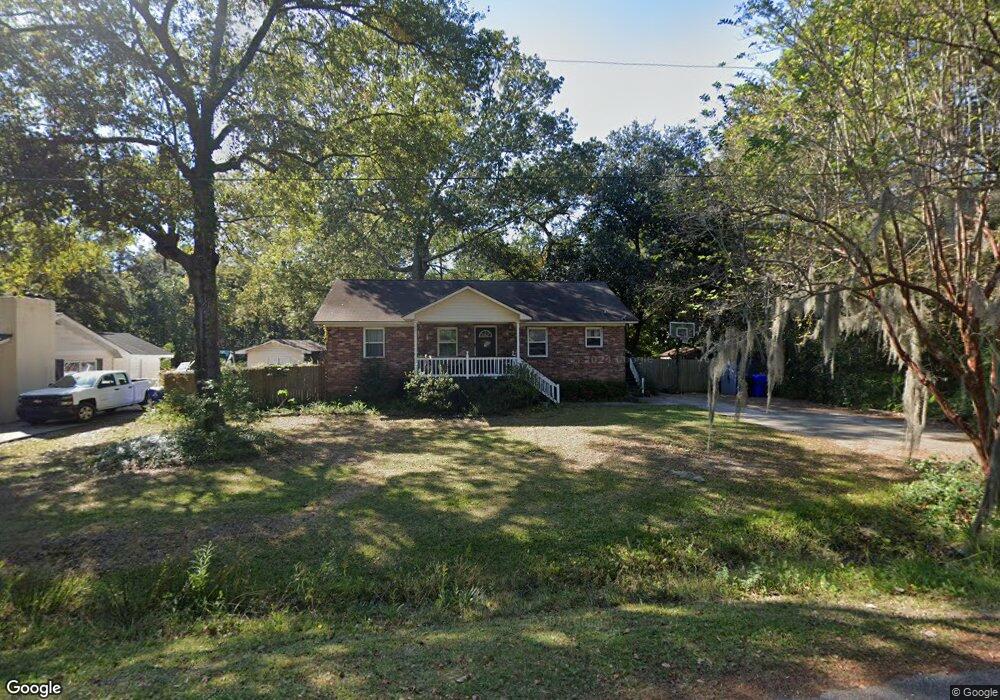
429 Brent St Johns Island, SC 29455
Estimated Value: $307,000 - $497,000
3
Beds
2
Baths
1,247
Sq Ft
$306/Sq Ft
Est. Value
About This Home
This home is located at 429 Brent St, Johns Island, SC 29455 and is currently estimated at $381,443, approximately $305 per square foot. 429 Brent St is a home located in Charleston County with nearby schools including Oakland Elementary School, West Ashley High School, and Evangel Christian School.
Ownership History
Date
Name
Owned For
Owner Type
Purchase Details
Closed on
Apr 20, 2017
Sold by
Emslie Brandon S and Emslie Amy L
Bought by
Emslie Amy L
Current Estimated Value
Home Financials for this Owner
Home Financials are based on the most recent Mortgage that was taken out on this home.
Original Mortgage
$127,000
Outstanding Balance
$105,741
Interest Rate
4.23%
Mortgage Type
New Conventional
Estimated Equity
$275,702
Purchase Details
Closed on
May 21, 2004
Sold by
Sample & Associates Llc
Bought by
Emslie Brandon S and Emslie Amy L
Purchase Details
Closed on
May 6, 2004
Sold by
Gordon Christopher and Gordon Sheryl
Bought by
Sample & Associates Llc
Create a Home Valuation Report for This Property
The Home Valuation Report is an in-depth analysis detailing your home's value as well as a comparison with similar homes in the area
Home Values in the Area
Average Home Value in this Area
Purchase History
| Date | Buyer | Sale Price | Title Company |
|---|---|---|---|
| Emslie Amy L | -- | Servicelink | |
| Emslie Brandon S | $115,600 | -- | |
| Sample & Associates Llc | $89,001 | -- |
Source: Public Records
Mortgage History
| Date | Status | Borrower | Loan Amount |
|---|---|---|---|
| Open | Emslie Amy L | $127,000 |
Source: Public Records
Tax History Compared to Growth
Tax History
| Year | Tax Paid | Tax Assessment Tax Assessment Total Assessment is a certain percentage of the fair market value that is determined by local assessors to be the total taxable value of land and additions on the property. | Land | Improvement |
|---|---|---|---|---|
| 2024 | $893 | $6,020 | $0 | $0 |
| 2023 | $893 | $6,020 | $0 | $0 |
| 2022 | $804 | $6,020 | $0 | $0 |
| 2021 | $840 | $6,020 | $0 | $0 |
| 2020 | $869 | $6,020 | $0 | $0 |
| 2019 | $781 | $5,240 | $0 | $0 |
| 2017 | $756 | $5,240 | $0 | $0 |
| 2016 | $2,070 | $7,860 | $0 | $0 |
| 2015 | $1,978 | $7,860 | $0 | $0 |
| 2014 | $1,709 | $0 | $0 | $0 |
| 2011 | -- | $0 | $0 | $0 |
Source: Public Records
Map
Nearby Homes
- 3666 Morse Ave
- 1 Marshfield Rd
- 3646 Hilton Dr
- 3622 Hilton Dr
- 185 Winding River Dr
- 139 Winding River Dr
- 210 Winding River Dr
- 136 Winding River Dr
- 313 Lanyard St
- 3591 Bayou Rd
- 305 Lanyard St
- 574 McLernon Trace
- 582 McLernon Trace
- 534 McLernon Trace
- 2020 Parish House Cir
- 3610 Moonglow Dr
- 681 McLernon Trace
- 3810 Marshfield Rd
- 3872 James Bay Rd
- 3817 James Bay Rd
- 425 Brent St
- 439 Brent St
- 421 Brent St
- 3658 Barton St
- 0 Barton St
- 3655 Barton St
- 0 Hilton Dr Unit 9911564
- 0 Hilton Dr Unit 2018819
- 0 Hilton Dr Unit 2533180
- 0 Hilton Dr Unit 2327703
- 0 Hilton Dr Unit LT9 2316260
- 0 Hilton Dr Unit 2220352
- 3682 Hilton Ln
- 11 Hilton Dr
- 0 Hilton Dr Unit 2904160
- 0 Hilton Dr Unit 1118969
- 0 Hilton Dr Unit 1218924
- 0 Hilton Dr Unit 1319035
- 0 Hilton Dr
- 3682 Hilton Dr