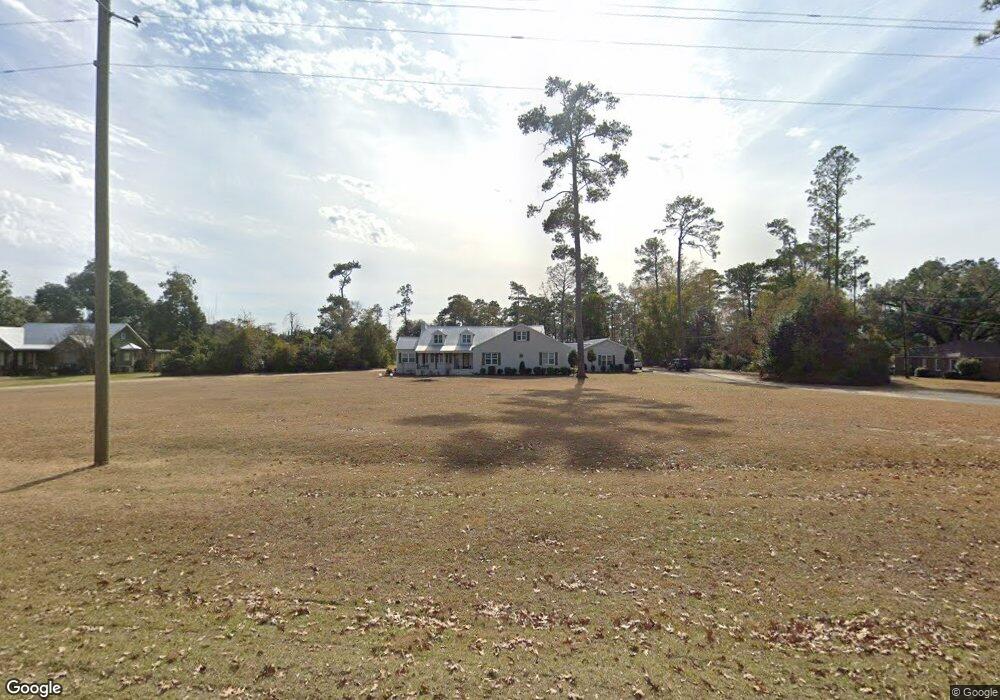
429 Broad Ave Newton, GA 39870
Estimated Value: $212,000 - $303,000
--
Bed
1
Bath
2,783
Sq Ft
$92/Sq Ft
Est. Value
About This Home
This home is located at 429 Broad Ave, Newton, GA 39870 and is currently estimated at $255,656, approximately $91 per square foot. 429 Broad Ave is a home with nearby schools including Baker County School.
Ownership History
Date
Name
Owned For
Owner Type
Purchase Details
Closed on
Jul 30, 2015
Sold by
Kim Laura T
Bought by
Lanier Dustin L
Current Estimated Value
Home Financials for this Owner
Home Financials are based on the most recent Mortgage that was taken out on this home.
Original Mortgage
$112,244
Outstanding Balance
$88,519
Interest Rate
4.11%
Mortgage Type
New Conventional
Estimated Equity
$167,137
Purchase Details
Closed on
Jul 31, 2012
Sold by
Hall Conner Mimi
Bought by
Kim Laura T
Home Financials for this Owner
Home Financials are based on the most recent Mortgage that was taken out on this home.
Original Mortgage
$96,938
Interest Rate
3.65%
Mortgage Type
New Conventional
Purchase Details
Closed on
Feb 9, 2007
Sold by
Hall H E
Bought by
Conner Mimi Langley and Jokinen Huntie Hall
Create a Home Valuation Report for This Property
The Home Valuation Report is an in-depth analysis detailing your home's value as well as a comparison with similar homes in the area
Home Values in the Area
Average Home Value in this Area
Purchase History
| Date | Buyer | Sale Price | Title Company |
|---|---|---|---|
| Lanier Dustin L | $110,000 | -- | |
| Kim Laura T | $95,000 | -- | |
| Conner Mimi Langley | -- | -- |
Source: Public Records
Mortgage History
| Date | Status | Borrower | Loan Amount |
|---|---|---|---|
| Open | Lanier Dustin L | $112,244 | |
| Previous Owner | Kim Laura T | $96,938 |
Source: Public Records
Tax History Compared to Growth
Tax History
| Year | Tax Paid | Tax Assessment Tax Assessment Total Assessment is a certain percentage of the fair market value that is determined by local assessors to be the total taxable value of land and additions on the property. | Land | Improvement |
|---|---|---|---|---|
| 2024 | $2,004 | $64,915 | $4,019 | $60,896 |
| 2023 | $2,084 | $64,915 | $4,019 | $60,896 |
| 2022 | $1,534 | $57,107 | $4,019 | $53,088 |
| 2021 | $1,534 | $57,107 | $4,019 | $53,088 |
| 2020 | $1,440 | $53,555 | $4,019 | $49,536 |
| 2019 | $712 | $26,486 | $4,019 | $22,467 |
| 2018 | $1,362 | $44,611 | $4,019 | $40,592 |
| 2017 | $1,362 | $44,611 | $4,019 | $40,592 |
| 2016 | $1,138 | $44,611 | $4,019 | $40,592 |
| 2015 | $1,292 | $42,324 | $3,820 | $38,504 |
| 2011 | -- | $43,886 | $3,820 | $40,066 |
Source: Public Records
Map
Nearby Homes
- 415 W Broad Ave
- 410 W Broad Ave
- 444 Sunset Ave SW
- 430 Sunset Ave SW
- 464 Sunset Ave SW
- 467 W Broad Ave
- 410 Sunset Ave SW
- 129 Ga Hwy 91 NW
- 447 Sunset Ave SW
- 439 Sunset Ave SW
- 463 Sunset Ave SW
- 451 W Broad Ave
- 0000 Road 81
- 00 Georgia 91
- TBD Georgia 91
- 465 Sunset Ave SW
- 0 0 Ga Sr 91 Unit 8311486
- 0 Ga 91 Unit 8035512
- 475 Sunset Ave SW
- 361 W Broad Ave