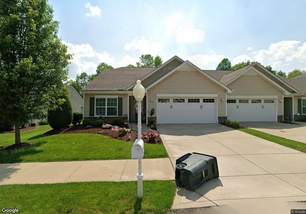
429 Chestnut Ln Unit A20 Apollo, PA 15613
Allegheny Township NeighborhoodEstimated Value: $345,000 - $426,451
--
Bed
2
Baths
2,633
Sq Ft
$144/Sq Ft
Est. Value
About This Home
This home is located at 429 Chestnut Ln Unit A20, Apollo, PA 15613 and is currently estimated at $379,363, approximately $144 per square foot. 429 Chestnut Ln Unit A20 is a home located in Westmoreland County with nearby schools including Kiski Area High School.
Ownership History
Date
Name
Owned For
Owner Type
Purchase Details
Closed on
Jul 15, 2016
Sold by
Suncrest Homes Inc
Bought by
Morrow Wayne E and Morrow Neava L
Current Estimated Value
Purchase Details
Closed on
Dec 15, 2015
Sold by
Allegheny Phoenix Llc
Bought by
Suncrest Homes Inc
Purchase Details
Closed on
Jul 11, 2011
Sold by
Kiski Valley Associates Inc
Bought by
The Allegheny Phoenix Company Llc
Create a Home Valuation Report for This Property
The Home Valuation Report is an in-depth analysis detailing your home's value as well as a comparison with similar homes in the area
Home Values in the Area
Average Home Value in this Area
Purchase History
| Date | Buyer | Sale Price | Title Company |
|---|---|---|---|
| Morrow Wayne E | $237,900 | None Available | |
| Suncrest Homes Inc | $20,000 | None Available | |
| The Allegheny Phoenix Company Llc | $2,000,000 | None Available |
Source: Public Records
Mortgage History
| Date | Status | Borrower | Loan Amount |
|---|---|---|---|
| Closed | The Allegheny Phoenix Company Llc | $0 |
Source: Public Records
Tax History Compared to Growth
Tax History
| Year | Tax Paid | Tax Assessment Tax Assessment Total Assessment is a certain percentage of the fair market value that is determined by local assessors to be the total taxable value of land and additions on the property. | Land | Improvement |
|---|---|---|---|---|
| 2025 | $4,586 | $30,240 | $4,560 | $25,680 |
| 2024 | $4,352 | $30,240 | $4,560 | $25,680 |
| 2023 | $1,149 | $30,240 | $4,560 | $25,680 |
| 2022 | $3,979 | $30,240 | $4,560 | $25,680 |
| 2021 | $3,889 | $30,240 | $4,560 | $25,680 |
| 2020 | $3,879 | $30,240 | $4,560 | $25,680 |
| 2019 | $3,863 | $30,240 | $4,560 | $25,680 |
| 2018 | $3,803 | $30,240 | $4,560 | $25,680 |
| 2017 | $3,713 | $3,240 | $3,240 | $0 |
| 2016 | $392 | $3,240 | $3,240 | $0 |
| 2015 | $392 | $3,240 | $3,240 | $0 |
| 2014 | $390 | $3,240 | $3,240 | $0 |
Source: Public Records
Map
Nearby Homes
- 620 Cedar Ridge Dr
- 519 Dogwood Ct
- 501 State Route 356
- 716 Pennsylvania 356
- 1316 Hancock Ave
- 262 Vista Dr
- 217 Karen Dr
- 2 La Belle Vue Rd
- 231 Whittier St
- 213 Whittier St
- 208 Whittier St
- 311 Lowell St
- 303 Lowell St
- 314 1/2 Lowell St
- 314 Lowell St Unit 1/2
- 704-706 Holland St
- 512 Watson St
- 4792 State Route 66
- 439 Longfellow St
- 800 Wallace St
- 429 Chestnut Ln Unit A15
- 427 Chestnut Ln Unit A14
- 427 Chestnut Ln
- 431 Chestnut Ln Unit A16
- 431 Chestnut Ln
- 433 Chestnut Ln Unit A17
- 425 Chestnut Ln Unit (A13
- 425 Chestnut Ln
- 430 Chestnut Ln Unit b15
- 432 Chestnut Ln Unit B16
- 435 Chestnut Ln Unit A18
- 423 Chestnut Ln
- 428 Chestnut Ln
- 434 Chestnut Ln
- 436 Chestnut Ln Unit B18
- 421 Chestnut Ln
- 437 Chestnut Ln Unit A19
- 424 Chestnut Ln
- 424 Chestnut Ln
- 438 Chestnut Ln Unit B19