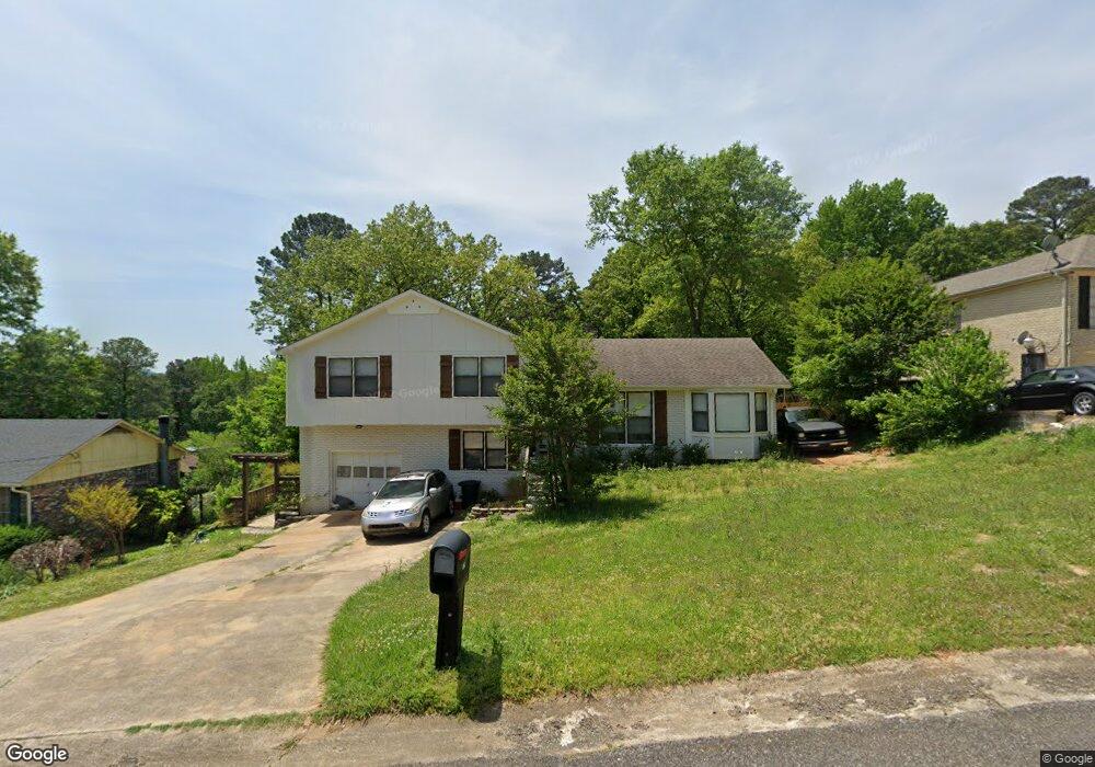
429 Daniel Dr NE Center Point, AL 35215
Estimated Value: $144,000 - $199,447
3
Beds
2
Baths
1,823
Sq Ft
$96/Sq Ft
Est. Value
About This Home
This home is located at 429 Daniel Dr NE, Center Point, AL 35215 and is currently estimated at $174,862, approximately $95 per square foot. 429 Daniel Dr NE is a home located in Jefferson County with nearby schools including Chalkville Elementary School, Clay-Chalkville Middle School, and Clay-Chalkville High School.
Ownership History
Date
Name
Owned For
Owner Type
Purchase Details
Closed on
Sep 8, 2008
Sold by
Deutsche Bank National Trust Company
Bought by
Peebles Lindsay B
Current Estimated Value
Home Financials for this Owner
Home Financials are based on the most recent Mortgage that was taken out on this home.
Original Mortgage
$83,386
Outstanding Balance
$54,983
Interest Rate
6.34%
Mortgage Type
FHA
Estimated Equity
$119,879
Purchase Details
Closed on
May 27, 2005
Sold by
Hart Roger T and Wood Martha T
Bought by
Scott Christopher and Scott Debra A
Home Financials for this Owner
Home Financials are based on the most recent Mortgage that was taken out on this home.
Original Mortgage
$88,720
Interest Rate
9.7%
Mortgage Type
Fannie Mae Freddie Mac
Create a Home Valuation Report for This Property
The Home Valuation Report is an in-depth analysis detailing your home's value as well as a comparison with similar homes in the area
Home Values in the Area
Average Home Value in this Area
Purchase History
| Date | Buyer | Sale Price | Title Company |
|---|---|---|---|
| Peebles Lindsay B | $80,000 | None Available | |
| Scott Christopher | $110,900 | -- |
Source: Public Records
Mortgage History
| Date | Status | Borrower | Loan Amount |
|---|---|---|---|
| Open | Peebles Lindsay B | $83,386 | |
| Previous Owner | Scott Christopher | $88,720 | |
| Closed | Scott Christopher | $22,180 |
Source: Public Records
Tax History Compared to Growth
Tax History
| Year | Tax Paid | Tax Assessment Tax Assessment Total Assessment is a certain percentage of the fair market value that is determined by local assessors to be the total taxable value of land and additions on the property. | Land | Improvement |
|---|---|---|---|---|
| 2024 | $923 | $20,060 | -- | -- |
| 2022 | $814 | $15,850 | $2,100 | $13,750 |
| 2021 | $734 | $14,280 | $2,100 | $12,180 |
| 2020 | $684 | $13,370 | $2,100 | $11,270 |
| 2019 | $684 | $13,380 | $0 | $0 |
| 2018 | $642 | $12,620 | $0 | $0 |
| 2017 | $642 | $12,620 | $0 | $0 |
| 2016 | $499 | $11,020 | $0 | $0 |
| 2015 | $574 | $12,520 | $0 | $0 |
| 2014 | $823 | $11,860 | $0 | $0 |
| 2013 | $823 | $11,860 | $0 | $0 |
Source: Public Records
Map
Nearby Homes
- 421 19th Terrace NE
- 1839 Mara Dr
- 513 20th Ave NE
- 1798 Reed Rd NE
- 500 20th Ave NE
- 309 20th Ave NE
- 416 20th Ct NE
- 1857 Woodvine Ln
- 668 20th Ct NE
- 1824 Stonehenge Dr
- 1834 Oakleaf Ln
- 1804 Stonehenge Dr
- 1810 Oakleaf Ln
- 2232 5th St NE
- 2212 Shirley Dr
- 1937 Springlake Ct
- 104 20th Ave NE
- 116 21st Ave NE Unit 37
- 2236 8th St NE
- 1836 1st St NE
- 425 Daniel Dr NE
- 433 Daniel Dr NE
- 421 Daniel Dr NE
- 428 Daniel Dr NE
- 424 Daniel Dr NE
- 432 Daniel Dr NE
- 1832 Reed Rd NE
- 420 Daniel Dr NE
- 436 Daniel Dr NE
- 417 Daniel Dr NE
- 1840 Reed Rd NE
- 416 Daniel Dr NE
- 440 Daniel Dr NE
- 413 Daniel Dr NE
- 1828 Reed Rd NE
- 1828 Reed Rd NE Unit 4.19 acres
- 412 Daniel Dr NE
- 1904 Reed Rd NE
- 1908 Reed Rd NE
- 409 Daniel Dr NE