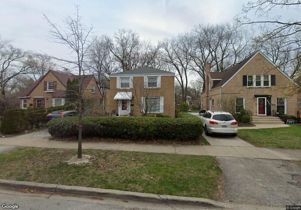
429 Darrow Ave Evanston, IL 60202
Estimated Value: $640,000 - $770,000
4
Beds
3
Baths
2,189
Sq Ft
$329/Sq Ft
Est. Value
About This Home
This home is located at 429 Darrow Ave, Evanston, IL 60202 and is currently estimated at $720,034, approximately $328 per square foot. 429 Darrow Ave is a home located in Cook County with nearby schools including Dawes Elementary School, Chute Middle School, and Evanston Township High School.
Ownership History
Date
Name
Owned For
Owner Type
Purchase Details
Closed on
Jul 8, 2004
Sold by
Kruse Vernon David and Kruse Lucy Chen
Bought by
Kruse Vernon David and Kruse Lucy Chen
Current Estimated Value
Home Financials for this Owner
Home Financials are based on the most recent Mortgage that was taken out on this home.
Original Mortgage
$138,500
Interest Rate
4%
Mortgage Type
New Conventional
Purchase Details
Closed on
Jul 26, 1994
Sold by
Kruse Vernon D and Kruse Lucy Chen
Bought by
Kruse Vernon David and Kruse Lucy Chen
Create a Home Valuation Report for This Property
The Home Valuation Report is an in-depth analysis detailing your home's value as well as a comparison with similar homes in the area
Home Values in the Area
Average Home Value in this Area
Purchase History
| Date | Buyer | Sale Price | Title Company |
|---|---|---|---|
| Kruse Vernon David | -- | -- | |
| Kruse Vernon David | -- | Title Source Inc | |
| Kruse Vernon David | -- | -- |
Source: Public Records
Mortgage History
| Date | Status | Borrower | Loan Amount |
|---|---|---|---|
| Closed | Kruse Vernon David | $138,500 |
Source: Public Records
Tax History Compared to Growth
Tax History
| Year | Tax Paid | Tax Assessment Tax Assessment Total Assessment is a certain percentage of the fair market value that is determined by local assessors to be the total taxable value of land and additions on the property. | Land | Improvement |
|---|---|---|---|---|
| 2024 | $11,063 | $51,073 | $12,415 | $38,658 |
| 2023 | $11,257 | $54,000 | $12,415 | $41,585 |
| 2022 | $11,257 | $54,000 | $12,415 | $41,585 |
| 2021 | $11,490 | $48,715 | $9,028 | $39,687 |
| 2020 | $12,416 | $49,906 | $9,028 | $40,878 |
| 2019 | $12,422 | $55,761 | $9,028 | $46,733 |
| 2018 | $12,736 | $49,314 | $7,524 | $41,790 |
| 2017 | $12,418 | $49,314 | $7,524 | $41,790 |
| 2016 | $12,000 | $49,314 | $7,524 | $41,790 |
| 2015 | $9,663 | $38,156 | $6,207 | $31,949 |
| 2014 | $9,585 | $38,156 | $6,207 | $31,949 |
| 2013 | $9,348 | $38,156 | $6,207 | $31,949 |
Source: Public Records
Map
Nearby Homes
- 1810 South Blvd
- 401 Dewey Ave
- 419 Florence Ave
- 347 Florence Ave
- 325 Dodge Ave
- 309 Darrow Ave
- 1916 Keeney St
- 604 Dodge Ave
- 1927 Warren St
- 704 Florence Ave
- 1408 Seward St
- 215 Brown Ave
- 235 Richmond St
- 2011 Brummel St
- 1217 Hull Terrace Unit 3A
- 1214 Hull Terrace
- 1810 Washington St
- 1406 Brummel St
- 1726 Dobson St
- 220 Richmond St