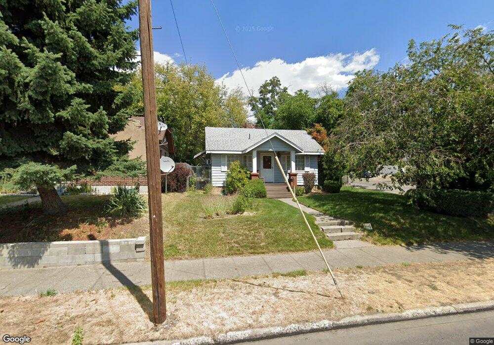
429 E Bridgeport Ave Spokane, WA 99207
Nevada Lidgerwood NeighborhoodEstimated Value: $202,000 - $264,000
2
Beds
2
Baths
520
Sq Ft
$450/Sq Ft
Est. Value
About This Home
This home is located at 429 E Bridgeport Ave, Spokane, WA 99207 and is currently estimated at $233,892, approximately $449 per square foot. 429 E Bridgeport Ave is a home located in Spokane County with nearby schools including Longfellow Elementary School, Garry Middle School, and Rogers High School.
Ownership History
Date
Name
Owned For
Owner Type
Purchase Details
Closed on
Nov 23, 2015
Sold by
Way Cathy L
Bought by
Way Mary Catherine
Current Estimated Value
Home Financials for this Owner
Home Financials are based on the most recent Mortgage that was taken out on this home.
Original Mortgage
$114,000
Outstanding Balance
$89,727
Interest Rate
3.81%
Mortgage Type
Reverse Mortgage Home Equity Conversion Mortgage
Estimated Equity
$144,165
Purchase Details
Closed on
Jul 22, 1997
Sold by
Schell Nancy Ann and Schell John T
Bought by
Way Mary Catherine and Way Cathy L
Home Financials for this Owner
Home Financials are based on the most recent Mortgage that was taken out on this home.
Original Mortgage
$58,326
Interest Rate
7.7%
Mortgage Type
FHA
Create a Home Valuation Report for This Property
The Home Valuation Report is an in-depth analysis detailing your home's value as well as a comparison with similar homes in the area
Home Values in the Area
Average Home Value in this Area
Purchase History
| Date | Buyer | Sale Price | Title Company |
|---|---|---|---|
| Way Mary Catherine | -- | Ticor Title Company | |
| Way Mary Catherine | $58,500 | Spokane County Title Co |
Source: Public Records
Mortgage History
| Date | Status | Borrower | Loan Amount |
|---|---|---|---|
| Open | Way Mary Catherine | $114,000 | |
| Closed | Way Mary Catherine | $58,326 |
Source: Public Records
Tax History Compared to Growth
Tax History
| Year | Tax Paid | Tax Assessment Tax Assessment Total Assessment is a certain percentage of the fair market value that is determined by local assessors to be the total taxable value of land and additions on the property. | Land | Improvement |
|---|---|---|---|---|
| 2025 | $96 | $195,600 | $75,000 | $120,600 |
| 2024 | $96 | $195,000 | $70,000 | $125,000 |
| 2023 | $95 | $190,000 | $65,000 | $125,000 |
| 2022 | $111 | $190,000 | $65,000 | $125,000 |
| 2021 | $118 | $114,900 | $35,000 | $79,900 |
| 2020 | $125 | $100,900 | $35,000 | $65,900 |
| 2019 | $511 | $84,600 | $23,500 | $61,100 |
| 2018 | $540 | $76,800 | $20,000 | $56,800 |
| 2017 | $497 | $71,900 | $20,000 | $51,900 |
| 2016 | $495 | $70,100 | $20,000 | $50,100 |
| 2015 | $744 | $66,700 | $20,000 | $46,700 |
| 2014 | -- | $65,600 | $20,000 | $45,600 |
| 2013 | -- | $0 | $0 | $0 |
Source: Public Records
Map
Nearby Homes
- 429 E Gordon Ave
- 603 E Liberty Ave
- 614 E Glass Ave
- 202 E Liberty Ave
- 226 E Dalton Ave
- 311 E Fairview Ave
- 620 E Euclid Ave
- 547 E Fairview Ave
- 727 E Gordon Ave Unit 3605 N Cincinnati St
- 45 E Euclid Ave
- 808 E Dalton Ave
- 824 E Gordon Ave
- 828 E Gordon Ave Unit 830 E Gordon
- 310 E Walton Ave
- 423 E Walton Ave
- 730 E Walton Ave
- 1027 E Courtland Ave
- 3707 N Atlantic St
- 1103 E Glass Ave
- 223 W Glass Ave
- 423 E Bridgeport Ave
- 3315 N Addison St
- 503 E Bridgeport Ave
- 411 E Bridgeport Ave
- 3319 N Addison St
- 418 E Courtland Ave
- 428 E Bridgeport Ave
- 3320 N Addison St
- 507 E Bridgeport Ave
- 414 E Courtland Ave
- 418 E Bridgeport Ave
- 407 E Bridgeport Ave
- 504 E Bridgeport Ave
- 510 E Courtland Ave
- 414 E Bridgeport Ave
- 513 E Bridgeport Ave
- 406 E Courtland Ave
- 508 E Bridgeport Ave
- 408 E Bridgeport Ave
- 401 E Bridgeport Ave