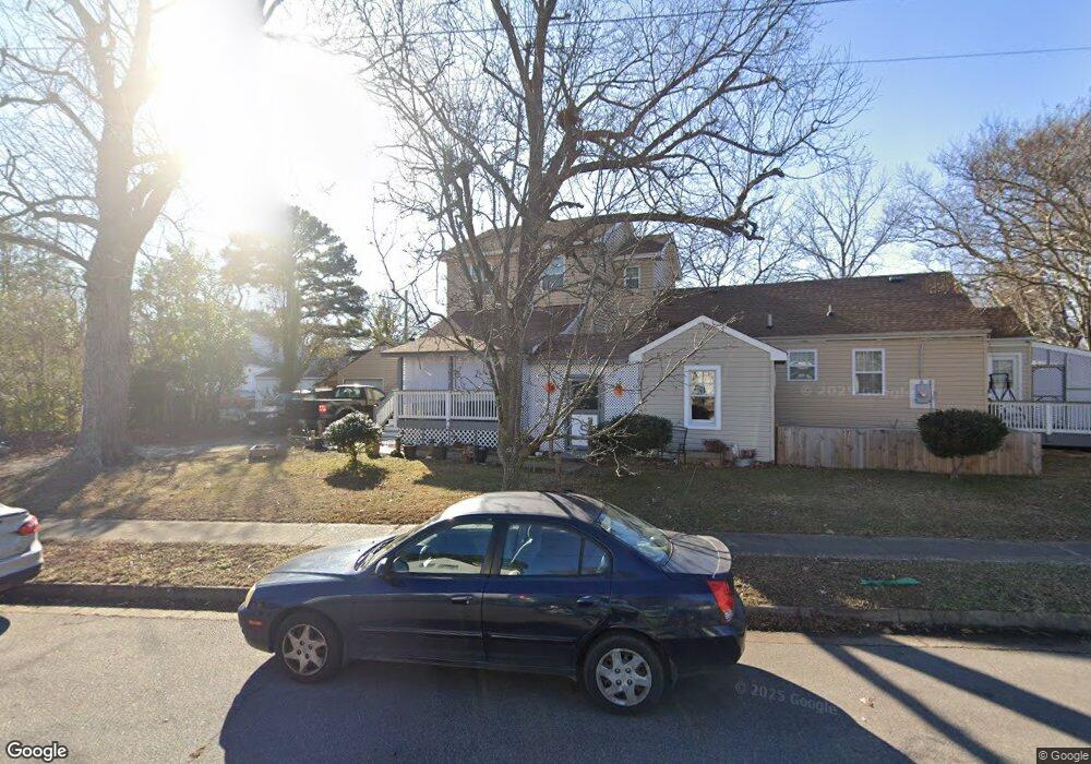
429 Forrest Ave Norfolk, VA 23505
Estimated Value: $315,251 - $328,000
3
Beds
2
Baths
1,817
Sq Ft
$177/Sq Ft
Est. Value
About This Home
This home is located at 429 Forrest Ave, Norfolk, VA 23505 and is currently estimated at $321,813, approximately $177 per square foot. 429 Forrest Ave is a home located in Norfolk City with nearby schools including Camp Allen Elementary School, Blair Middle School, and Maury High School.
Ownership History
Date
Name
Owned For
Owner Type
Purchase Details
Closed on
May 30, 2007
Sold by
Brown G Wayne and Albert Carmichael M
Bought by
Spink Steven C and Moore Gaynell
Current Estimated Value
Home Financials for this Owner
Home Financials are based on the most recent Mortgage that was taken out on this home.
Original Mortgage
$150,000
Outstanding Balance
$121,205
Interest Rate
6.25%
Mortgage Type
Purchase Money Mortgage
Estimated Equity
$200,608
Create a Home Valuation Report for This Property
The Home Valuation Report is an in-depth analysis detailing your home's value as well as a comparison with similar homes in the area
Purchase History
We collect this data history from publicly available records. To have your information removed, we recommend requesting removal directly through your county’s website.
| Date | Buyer | Sale Price | Title Company |
|---|---|---|---|
| Spink Steven C | $150,000 | Heritage Title Ltd |
Source: Public Records
Mortgage History
We collect this data history from publicly available records. To have your information removed, we recommend requesting removal directly through your county’s website.
| Date | Status | Borrower | Loan Amount |
|---|---|---|---|
| Open | Spink Steven C | $150,000 |
Source: Public Records
Tax History
| Year | Tax Paid | Tax Assessment Tax Assessment Total Assessment is a certain percentage of the fair market value that is determined by local assessors to be the total taxable value of land and additions on the property. | Land | Improvement |
|---|---|---|---|---|
| 2025 | $3,850 | $313,000 | $60,000 | $253,000 |
| 2024 | $3,584 | $291,400 | $60,000 | $231,400 |
| 2023 | $3,460 | $276,800 | $57,000 | $219,800 |
| 2022 | $3,278 | $262,200 | $52,000 | $210,200 |
| 2021 | $2,966 | $237,300 | $52,000 | $185,300 |
| 2020 | $2,834 | $226,700 | $47,000 | $179,700 |
| 2019 | $2,732 | $224,200 | $44,500 | $179,700 |
| 2018 | $2,529 | $213,600 | $44,500 | $169,100 |
| 2017 | $2,230 | $210,900 | $44,500 | $166,400 |
| 2016 | $2,165 | $212,200 | $44,500 | $167,700 |
| 2015 | $2,106 | $212,200 | $44,500 | $167,700 |
| 2014 | $2,106 | $212,200 | $44,500 | $167,700 |
Source: Public Records
Map
Nearby Homes
- 325 Forrest Ave
- 236 Woodview Ave
- 227 Beechwood Ave
- 255 Greenbrier Ave
- 202 Glendale Ave
- 127 Forrest Ave
- 127 Mapleshade Ave
- 136 Greenbrier Ave
- 1505 Meads Rd Unit A-2
- 1310 Cloncurry Rd
- 7705 Lambert Place
- 1512 Trouville Ave
- 1509 Runnymede Rd
- 1101 Matthew Henson St
- 7634 N Shore Rd
- 1052 Hannah St
- 1053 Hannah St
- 7469 Major Ave
- 7420 N Shore Rd
- 7320 Shirland Ave
- 425 Forrest Ave
- 430 Glendale Ave
- 501 Forrest Ave
- 423 Forrest Ave
- 426 Glendale Ave
- 502 Forrest Ave
- 422 Glendale Ave
- 500 Forrest Ave
- 419 Forrest Ave
- 505 Forrest Ave
- 500 Glendale Ave
- 424 Forrest Ave
- 418 Glendale Ave
- 506 Forrest Ave
- 420 Forrest Ave
- 415 Forrest Ave
- 508 Forrest Ave
- 416 Glendale Ave
- 511 Forrest Ave
- 506 Glendale Ave
Your Personal Tour Guide
Ask me questions while you tour the home.