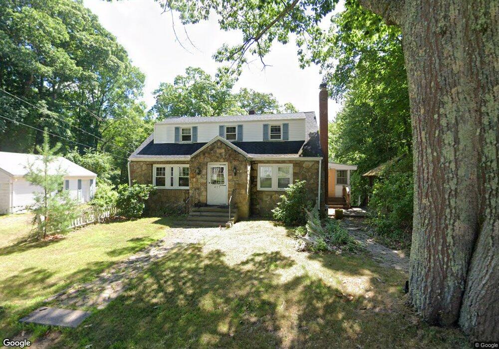
429 Fowler Rd Northbridge, MA 01534
Estimated Value: $546,000 - $583,719
4
Beds
2
Baths
2,160
Sq Ft
$262/Sq Ft
Est. Value
About This Home
This home is located at 429 Fowler Rd, Northbridge, MA 01534 and is currently estimated at $566,430, approximately $262 per square foot. 429 Fowler Rd is a home located in Worcester County with nearby schools including Northbridge Elementary School, Northbridge Middle School, and Northbridge High School.
Ownership History
Date
Name
Owned For
Owner Type
Purchase Details
Closed on
Sep 28, 2010
Sold by
Healy-Mcduffee Mary Ann
Bought by
Smith Christine L and Porzio Justin M
Current Estimated Value
Home Financials for this Owner
Home Financials are based on the most recent Mortgage that was taken out on this home.
Original Mortgage
$259,000
Outstanding Balance
$172,040
Interest Rate
4.48%
Mortgage Type
Purchase Money Mortgage
Estimated Equity
$394,390
Purchase Details
Closed on
May 1, 1997
Sold by
Ebbeling Sidney and Ebbeling Margaret
Bought by
Mcduffee Maryann Healy
Home Financials for this Owner
Home Financials are based on the most recent Mortgage that was taken out on this home.
Original Mortgage
$108,000
Interest Rate
7.85%
Mortgage Type
Purchase Money Mortgage
Create a Home Valuation Report for This Property
The Home Valuation Report is an in-depth analysis detailing your home's value as well as a comparison with similar homes in the area
Home Values in the Area
Average Home Value in this Area
Purchase History
| Date | Buyer | Sale Price | Title Company |
|---|---|---|---|
| Smith Christine L | $259,000 | -- | |
| Smith Christine L | $259,000 | -- | |
| Mcduffee Maryann Healy | $135,000 | -- | |
| Mcduffee Maryann Healy | $135,000 | -- |
Source: Public Records
Mortgage History
| Date | Status | Borrower | Loan Amount |
|---|---|---|---|
| Open | Smith Christine L | $259,000 | |
| Closed | Mcduffee Maryann Healy | $259,000 | |
| Previous Owner | Mcduffee Maryann Healy | $108,000 |
Source: Public Records
Tax History Compared to Growth
Tax History
| Year | Tax Paid | Tax Assessment Tax Assessment Total Assessment is a certain percentage of the fair market value that is determined by local assessors to be the total taxable value of land and additions on the property. | Land | Improvement |
|---|---|---|---|---|
| 2025 | $5,150 | $436,800 | $159,500 | $277,300 |
| 2024 | $4,942 | $408,800 | $159,500 | $249,300 |
| 2023 | $4,984 | $384,600 | $159,500 | $225,100 |
| 2022 | $4,590 | $333,300 | $123,500 | $209,800 |
| 2021 | $4,561 | $314,800 | $117,800 | $197,000 |
| 2020 | $6,117 | $306,500 | $117,800 | $188,700 |
| 2019 | $3,824 | $294,800 | $117,800 | $177,000 |
| 2018 | $3,635 | $280,900 | $112,200 | $168,700 |
| 2017 | $4,931 | $268,600 | $112,200 | $156,400 |
| 2016 | $3,487 | $253,600 | $102,000 | $151,600 |
| 2015 | $3,393 | $253,600 | $102,000 | $151,600 |
| 2014 | $3,319 | $250,300 | $102,000 | $148,300 |
Source: Public Records
Map
Nearby Homes
- 331 Cooper Rd
- 151 Fowler Rd
- 135 Windstone Dr
- 104 Alana Dr
- 1880 Providence Rd
- 731 Samuel Dr
- 79-81 Upton St
- 614-616 Sutton St
- 0 Puddon St
- 86 Kingsnorth St
- 42 Shining Rock Dr
- 157 Rolling Ridge Dr Unit 84
- 1825 Quaker St
- 192 Rebecca Rd
- 46 Rebecca Rd
- 708 Marston Rd
- 2767 Providence Rd
- 102 Kennedy Cir
- 217 Brookway Dr
- 894 Marston Rd