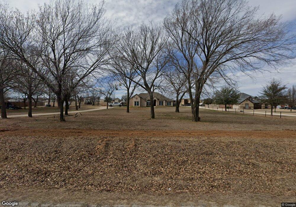
429 Munn Rd Springtown, TX 76082
Estimated Value: $396,000 - $544,912
3
Beds
2
Baths
2,350
Sq Ft
$209/Sq Ft
Est. Value
About This Home
This home is located at 429 Munn Rd, Springtown, TX 76082 and is currently estimated at $491,228, approximately $209 per square foot. 429 Munn Rd is a home located in Parker County with nearby schools including Springtown Elementary School, Springtown Intermediate School, and Springtown Middle School.
Ownership History
Date
Name
Owned For
Owner Type
Purchase Details
Closed on
May 18, 2012
Sold by
Gumm Larry David
Bought by
Mcdaniel Vikki
Current Estimated Value
Purchase Details
Closed on
Apr 25, 2007
Sold by
Kauffman Kris Kurt and Kauffman Tammy
Bought by
Sanders Matt and Sanders Paulette
Home Financials for this Owner
Home Financials are based on the most recent Mortgage that was taken out on this home.
Original Mortgage
$250,000
Interest Rate
6.13%
Mortgage Type
VA
Purchase Details
Closed on
Sep 22, 2006
Sold by
Hubbard Toby and Hubbard Natalie
Bought by
Sanders Matt and Sanders Paulette
Home Financials for this Owner
Home Financials are based on the most recent Mortgage that was taken out on this home.
Original Mortgage
$191,200
Interest Rate
6.47%
Mortgage Type
Stand Alone First
Purchase Details
Closed on
Jul 5, 2001
Sold by
Hampton Terry G and Hampton Clint
Bought by
Sanders Matt and Sanders Paulette
Create a Home Valuation Report for This Property
The Home Valuation Report is an in-depth analysis detailing your home's value as well as a comparison with similar homes in the area
Home Values in the Area
Average Home Value in this Area
Purchase History
| Date | Buyer | Sale Price | Title Company |
|---|---|---|---|
| Mcdaniel Vikki | -- | None Available | |
| Sanders Matt | -- | Alamo Title | |
| Sanders Matt | -- | -- | |
| Sanders Matt | -- | -- |
Source: Public Records
Mortgage History
| Date | Status | Borrower | Loan Amount |
|---|---|---|---|
| Previous Owner | Sanders Matt | $250,000 | |
| Previous Owner | Sanders Matt | $191,200 |
Source: Public Records
Tax History
| Year | Tax Paid | Tax Assessment Tax Assessment Total Assessment is a certain percentage of the fair market value that is determined by local assessors to be the total taxable value of land and additions on the property. | Land | Improvement |
|---|---|---|---|---|
| 2025 | $3,779 | $500,480 | $123,900 | $376,580 |
| 2024 | $3,779 | $424,468 | -- | -- |
| 2023 | $3,779 | $385,880 | $0 | $0 |
| 2022 | $6,255 | $350,800 | $70,000 | $280,800 |
| 2021 | $6,790 | $350,800 | $70,000 | $280,800 |
| 2020 | $6,442 | $334,620 | $50,000 | $284,620 |
| 2019 | $6,295 | $334,620 | $50,000 | $284,620 |
Source: Public Records
Map
Nearby Homes
- 1973 Johnnie Dr
- 121 Bluegrass Trail
- 1030 Alex Dr
- 1132 Dobbs Trail
- 808 Feather Edge Dr
- 111 Quail Dr
- 1600 Thomas Rd
- 860 Mcvoid Rd
- 100 Knob Ct
- 150 Ash Creek Ct
- 155 Cornerstone Ln
- 350 Summerfield Ct E
- 1556 Thomas Rd
- 829 Haley
- 369 Declan St
- 1110 Knob Rd
- 381 Declan St
- 380 Declan St
- 724 Raylan
- 376 Declan St
Your Personal Tour Guide
Ask me questions while you tour the home.