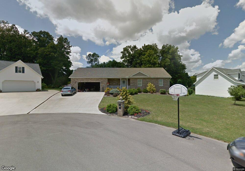
429 Pinewood Cir Mansfield, OH 44903
Estimated Value: $210,000 - $255,000
3
Beds
2
Baths
1,400
Sq Ft
$170/Sq Ft
Est. Value
About This Home
This home is located at 429 Pinewood Cir, Mansfield, OH 44903 and is currently estimated at $238,045, approximately $170 per square foot. 429 Pinewood Cir is a home located in Richland County with nearby schools including Madison High School, St. Mary Catholic School, and Temple-Christian School.
Ownership History
Date
Name
Owned For
Owner Type
Purchase Details
Closed on
Jun 4, 2004
Sold by
Bauer William A and Bauer Ellen M
Bought by
Boyle Donald E and Boyle Kathleen M
Current Estimated Value
Home Financials for this Owner
Home Financials are based on the most recent Mortgage that was taken out on this home.
Original Mortgage
$126,000
Interest Rate
5.99%
Mortgage Type
Purchase Money Mortgage
Create a Home Valuation Report for This Property
The Home Valuation Report is an in-depth analysis detailing your home's value as well as a comparison with similar homes in the area
Home Values in the Area
Average Home Value in this Area
Purchase History
| Date | Buyer | Sale Price | Title Company |
|---|---|---|---|
| Boyle Donald E | $21,500 | Chicago Title |
Source: Public Records
Mortgage History
| Date | Status | Borrower | Loan Amount |
|---|---|---|---|
| Closed | Boyle Donald E | $126,000 |
Source: Public Records
Tax History Compared to Growth
Tax History
| Year | Tax Paid | Tax Assessment Tax Assessment Total Assessment is a certain percentage of the fair market value that is determined by local assessors to be the total taxable value of land and additions on the property. | Land | Improvement |
|---|---|---|---|---|
| 2024 | $1,981 | $58,820 | $10,210 | $48,610 |
| 2023 | $1,981 | $58,820 | $10,210 | $48,610 |
| 2022 | $1,866 | $51,540 | $9,960 | $41,580 |
| 2021 | $1,865 | $51,540 | $9,960 | $41,580 |
| 2020 | $2,363 | $51,540 | $9,960 | $41,580 |
| 2019 | $2,067 | $43,700 | $8,440 | $35,260 |
| 2018 | $2,049 | $43,700 | $8,440 | $35,260 |
| 2017 | $2,011 | $43,700 | $8,440 | $35,260 |
| 2016 | $1,528 | $34,680 | $8,440 | $26,240 |
| 2015 | $1,528 | $34,680 | $8,440 | $26,240 |
| 2014 | $1,498 | $34,680 | $8,440 | $26,240 |
| 2012 | $686 | $34,680 | $8,440 | $26,240 |
Source: Public Records
Map
Nearby Homes
- 598 Impala Dr
- 630 Impala Dr
- 0 Satinwood Dr
- 2641 State Route 430
- 2495 Emma Ln
- 0 McBride Road Parcel # 1 Unit 9066028
- 2750 Lutz Ave
- 609 Mcbride Rd
- 640 Running Brook Way
- 2270 Lakecrest Dr Unit 2272
- 0 Peterson Rd
- 641 Laver Rd
- 76 Ford Rd N
- 76 Ford Rd N Unit 20
- 1910 Crider Rd
- 0 Mcelroy Rd
- 304 Esley Ln
- 1997 Hout Rd
- 1951 Woodmont Rd
- 903 Mayflower Ave