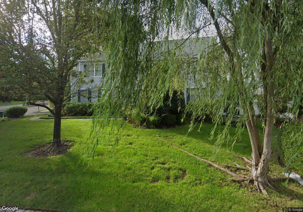
429 Red Rock Rd Wyckoff, NJ 07481
Estimated Value: $1,284,000 - $1,531,000
--
Bed
--
Bath
2,935
Sq Ft
$464/Sq Ft
Est. Value
About This Home
This home is located at 429 Red Rock Rd, Wyckoff, NJ 07481 and is currently estimated at $1,362,946, approximately $464 per square foot. 429 Red Rock Rd is a home located in Bergen County with nearby schools including Dwight D Eisenhower Middle School, Ramapo High School, and Indian Hills High School.
Ownership History
Date
Name
Owned For
Owner Type
Purchase Details
Closed on
Jun 16, 1998
Sold by
Wyckoff Development Co Inc
Bought by
Lomberg Paul C and Lomberg Linda C
Current Estimated Value
Home Financials for this Owner
Home Financials are based on the most recent Mortgage that was taken out on this home.
Original Mortgage
$330,000
Outstanding Balance
$66,248
Interest Rate
7.09%
Estimated Equity
$1,296,698
Create a Home Valuation Report for This Property
The Home Valuation Report is an in-depth analysis detailing your home's value as well as a comparison with similar homes in the area
Home Values in the Area
Average Home Value in this Area
Purchase History
| Date | Buyer | Sale Price | Title Company |
|---|---|---|---|
| Lomberg Paul C | $463,500 | -- |
Source: Public Records
Mortgage History
| Date | Status | Borrower | Loan Amount |
|---|---|---|---|
| Open | Lomberg Paul C | $330,000 |
Source: Public Records
Tax History Compared to Growth
Tax History
| Year | Tax Paid | Tax Assessment Tax Assessment Total Assessment is a certain percentage of the fair market value that is determined by local assessors to be the total taxable value of land and additions on the property. | Land | Improvement |
|---|---|---|---|---|
| 2025 | $17,807 | $913,200 | $389,800 | $523,400 |
| 2024 | $17,287 | $913,200 | $389,800 | $523,400 |
| 2023 | $16,821 | $913,200 | $389,800 | $523,400 |
| 2022 | $16,821 | $913,200 | $389,800 | $523,400 |
| 2021 | $16,931 | $913,200 | $389,800 | $523,400 |
| 2020 | $16,757 | $913,200 | $389,800 | $523,400 |
| 2019 | $16,529 | $913,200 | $389,800 | $523,400 |
| 2018 | $16,273 | $913,200 | $389,800 | $523,400 |
| 2017 | $16,072 | $913,200 | $389,800 | $523,400 |
| 2016 | $15,817 | $913,200 | $389,800 | $523,400 |
| 2015 | $15,643 | $913,200 | $389,800 | $523,400 |
| 2014 | $16,075 | $1,012,900 | $439,800 | $573,100 |
Source: Public Records
Map
Nearby Homes
- 120 Ravine Ave
- 535 Lafayette Ave
- 1079 Lafayette Ave Extension
- 427 Grandview Ave
- 400 Goffle Hill Rd
- 113 Highview Ter Land
- 488 Baxter Ave
- 113 Highview Terrace
- 144 Emeline Dr
- 11 Surrey Place Unit 1
- 11 Surrey Place
- 484 Caldwell Dr
- 80 Mary Ann Ln
- 882 Lafayette Ave
- 352 Amherst St
- 0 Highview Terrace
- 431 Goffle Rd
- 412 N 4th Ave
- 396 Knollwood Rd
- 480 Knollwood Rd
- 427 Red Rock Rd
- 320 Megan Ct
- 318 Megan Ct
- 426 Red Rock Rd
- 201 Sunrise Dr
- 203 Sunrise Dr
- 428 Red Rock Rd
- 425 Red Rock Rd
- 316 Megan Ct
- 424 Red Rock Rd
- 205 Sunrise Dr
- 430 Red Rock Rd
- 433 Red Rock Rd
- 112 Hilltop Ln
- 423 Red Rock Rd
- 503 Stonewall Ct
- 407 Sharon Ln
- 208 Sunrise Dr
- 207 Sunrise Dr
- 314 Megan Ct