429 Sandpiper St Banning, CA 92220
Estimated Value: $372,000 - $382,000
About This Home
This home is located at 429 Sandpiper St, Banning, CA 92220 and is currently estimated at $375,489, approximately $237 per square foot. 429 Sandpiper St is a home located in Riverside County with nearby schools including Banning High School, Highland Academy, and Young Scholar Education Center.
Ownership History
We collect this data history from publicly available records. To have your information removed, we recommend requesting removal directly through your county’s website.
Purchase Details
Purchase Details
Home Values in the Area
Average Home Value in this Area
Purchase History
We collect this data history from publicly available records. To have your information removed, we recommend requesting removal directly through your county’s website.
| Date | Buyer | Sale Price | Title Company |
|---|---|---|---|
| -- | None Available | ||
| $182,500 | Chicago Title |
Tax History
We collect this data history from publicly available records. To have your information removed, we recommend requesting removal directly through your county’s website.
| Year | Tax Paid | Tax Assessment Tax Assessment Total Assessment is a certain percentage of the fair market value that is determined by local assessors to be the total taxable value of land and additions on the property. | Land | Improvement |
|---|---|---|---|---|
| 2025 | $1,486 | $278,859 | $65,157 | $213,702 |
| 2023 | $1,486 | $268,032 | $62,628 | $205,404 |
| 2022 | $1,639 | $262,777 | $61,400 | $201,377 |
| 2021 | $1,602 | $257,626 | $60,197 | $197,429 |
| 2020 | $1,625 | $254,985 | $59,580 | $195,405 |
| 2019 | $1,614 | $249,986 | $58,412 | $191,574 |
| 2018 | $1,632 | $245,085 | $57,268 | $187,817 |
| 2017 | $1,623 | $240,281 | $56,146 | $184,135 |
| 2016 | $1,555 | $235,571 | $55,046 | $180,525 |
| 2015 | $1,522 | $232,034 | $54,220 | $177,814 |
| 2014 | $1,497 | $227,491 | $53,159 | $174,332 |
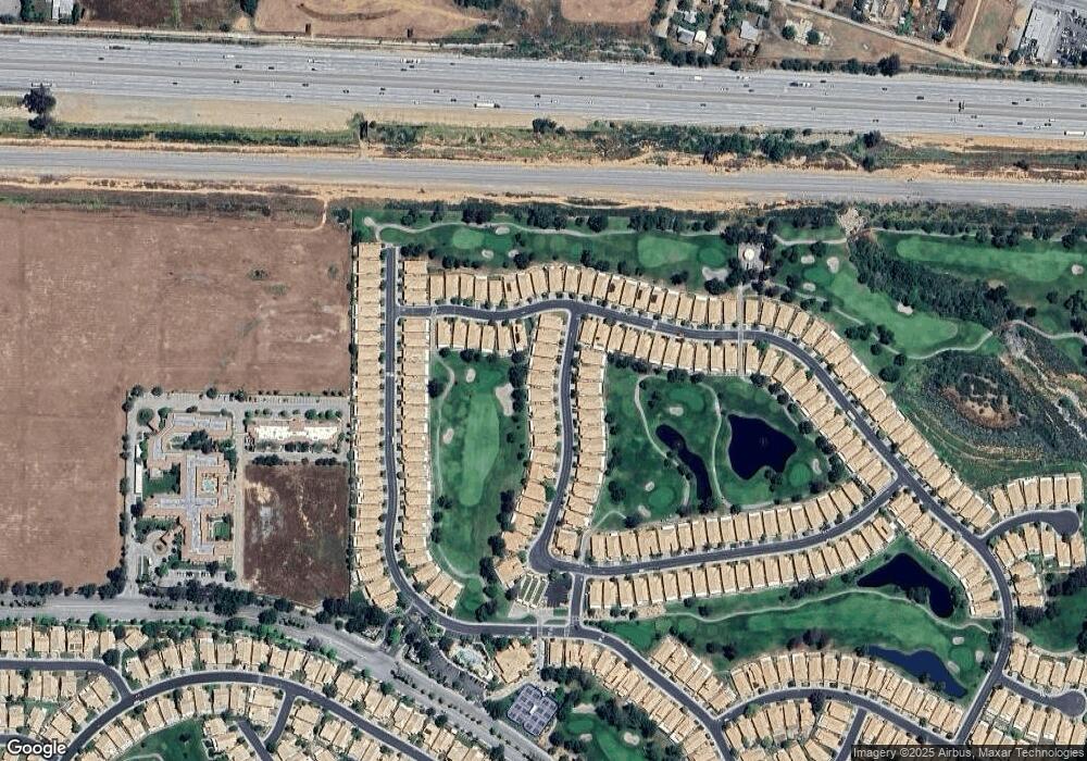
Map
- 4929 Rolling Hills Ave
- 502 Brooklawn Dr
- 5242 C St
- 5388 C St
- 615 Brooklawn Dr
- 648 Essex Way
- 298 Apex Ave
- 5345 W Plain Field Dr
- 5245 W Plain Field Dr
- 5913 Oakmont Dr
- 893 Twin Hills Dr
- 4780 W Ramsey St
- 181 Leslie Ct
- 4923 Links Ave
- 5912 Brookside Dr
- 5760 W Ramsey St
- 238 Dawn Way
- 300 Apex Ave
- 265 Dawn Way
- 781 Torrey Pines Rd
- 413 Sandpiper St
- 421 Sandpiper St
- 405 Sandpiper St
- 299 Brooklawn Dr
- 397 Sandpiper St
- 293 Brooklawn Dr
- 437 Sandpiper St
- 392 Sandpiper St
- 381 Brooklawn Dr
- 404 Sandpiper St
- 416 Sandpiper St
- 287 Brooklawn Dr
- 445 Sandpiper St
- 387 Brooklawn Dr
- 428 Sandpiper St
- 298 Brooklawn Dr
- 393 Brooklawn Dr
- 340 Brooklawn Dr
- 281 Brooklawn Dr
- 453 Sandpiper St
Ask me questions while you tour the home.