429 Sullivan Rd Wellsboro, PA 16901
Estimated Value: $270,000 - $509,554
3
Beds
1
Bath
2,170
Sq Ft
$172/Sq Ft
Est. Value
About This Home
This home is located at 429 Sullivan Rd, Wellsboro, PA 16901 and is currently estimated at $373,639, approximately $172 per square foot. 429 Sullivan Rd is a home located in Tioga County with nearby schools including Charlotte Lappla Elementary School, Don Gill Elementary School, and Rock L. Butler Middle School.
Ownership History
Date
Name
Owned For
Owner Type
Purchase Details
Closed on
Mar 23, 2007
Sold by
Sweet Robert N and Sweet Nancy J
Bought by
Stoltzfus Farms Inc
Current Estimated Value
Home Financials for this Owner
Home Financials are based on the most recent Mortgage that was taken out on this home.
Original Mortgage
$85,000
Outstanding Balance
$51,646
Interest Rate
6.33%
Mortgage Type
New Conventional
Estimated Equity
$321,993
Create a Home Valuation Report for This Property
The Home Valuation Report is an in-depth analysis detailing your home's value as well as a comparison with similar homes in the area
Home Values in the Area
Average Home Value in this Area
Purchase History
| Date | Buyer | Sale Price | Title Company |
|---|---|---|---|
| Stoltzfus Farms Inc | $135,000 | None Available |
Source: Public Records
Mortgage History
| Date | Status | Borrower | Loan Amount |
|---|---|---|---|
| Open | Stoltzfus Farms Inc | $85,000 |
Source: Public Records
Tax History Compared to Growth
Tax History
| Year | Tax Paid | Tax Assessment Tax Assessment Total Assessment is a certain percentage of the fair market value that is determined by local assessors to be the total taxable value of land and additions on the property. | Land | Improvement |
|---|---|---|---|---|
| 2025 | $4,788 | $320,700 | $35,790 | $284,910 |
| 2024 | $7,345 | $320,700 | $35,790 | $284,910 |
| 2023 | $3,653 | $135,230 | $19,240 | $115,990 |
| 2022 | $3,654 | $135,230 | $19,240 | $115,990 |
| 2021 | $3,605 | $135,230 | $19,240 | $115,990 |
| 2020 | $3,609 | $135,230 | $19,240 | $115,990 |
| 2019 | $3,561 | $135,230 | $19,240 | $115,990 |
| 2018 | $3,243 | $123,810 | $19,240 | $104,570 |
| 2017 | -- | $123,810 | $19,240 | $104,570 |
| 2016 | $3,196 | $130,170 | $25,600 | $104,570 |
| 2015 | -- | $123,810 | $19,240 | $104,570 |
| 2014 | -- | $123,810 | $19,240 | $104,570 |
Source: Public Records
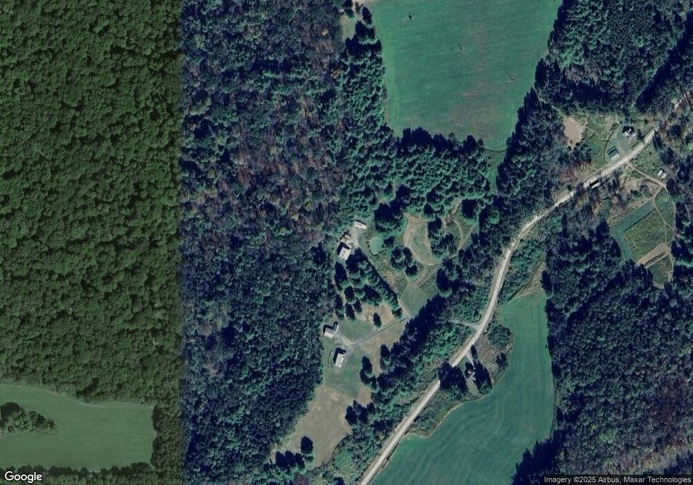
Map
Nearby Homes
- 727 Snyder Point Rd
- Stowell Road Lot Unit WP001
- 0 Stowell Rd
- 836 Burton Hill Rd
- 3060 Colton Rd
- 117 Whipple Rd
- 400 Painter Run Rd
- 1525 Dutch Hill Rd
- 0 Broughton Hollow Rd
- 1197 Route 6
- 6528 & 6520 Route 6
- 297 Big Bridge Hollow Rd
- 00 Stony Fork Rd
- - Stony Fork Rd
- 297 Big Bridge Hollow Ln
- 4618 Route 287
- 1068 Ridge Rd
- 1518 Elk Run Rd
- 67 West Ave
- 84 Route 349
- 427 Sullivan Rd
- 416 Sullivan Rd
- 525 Sullivan Rd
- 354 Wilson Rd
- 188 Sullivan Rd
- 107 Sullivan Rd
- 684 Sullivan Rd
- 50 Sullivan Rd
- 212 Wilson Rd
- B189 Wilson Rd
- 1057 Campbell Run Rd
- 1058 Campbell Run Rd
- 103 Wilson Rd
- 1105 Campbell Run Rd
- 137 Wilson Rd
- 28 Kennedyville Rd
- 47 Kennedyville Rd
- 102 Wilson Rd
- 56 Wilson Rd
- 95 Kennedyville Rd