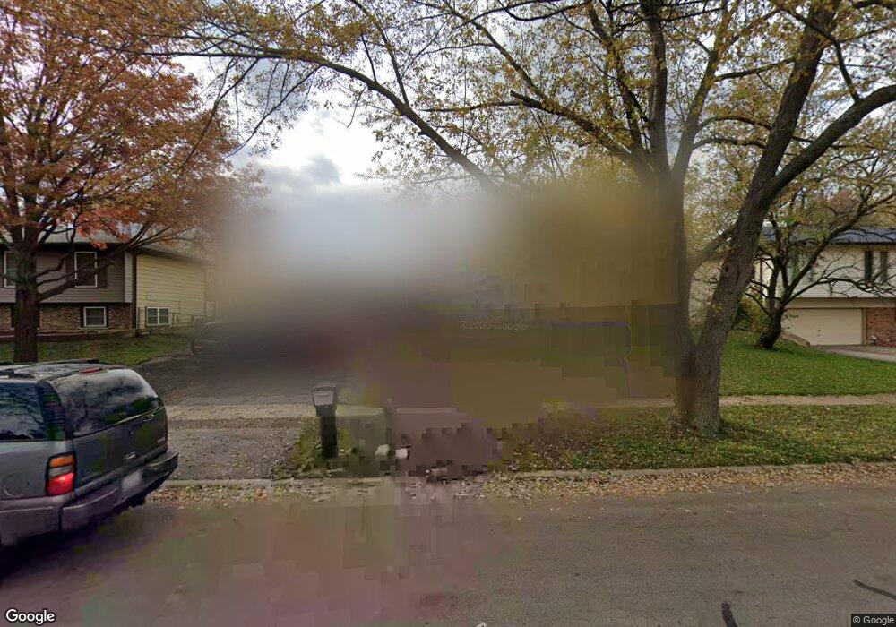
429 Sword Way Bolingbrook, IL 60440
East Bolingbrook NeighborhoodEstimated Value: $370,000 - $473,000
Studio
--
Bath
2,964
Sq Ft
$140/Sq Ft
Est. Value
About This Home
This home is located at 429 Sword Way, Bolingbrook, IL 60440 and is currently estimated at $414,567, approximately $139 per square foot. 429 Sword Way is a home located in Will County with nearby schools including Jonas E Salk Elementary School, Hubert H Humphrey Middle School, and Bolingbrook High School.
Ownership History
Date
Name
Owned For
Owner Type
Purchase Details
Closed on
Sep 26, 1997
Sold by
Bernas James A and Bernas Doris E
Bought by
Western Springs National Bank & Trust and Trust #3606
Current Estimated Value
Home Financials for this Owner
Home Financials are based on the most recent Mortgage that was taken out on this home.
Original Mortgage
$103,000
Interest Rate
7.43%
Create a Home Valuation Report for This Property
The Home Valuation Report is an in-depth analysis detailing your home's value as well as a comparison with similar homes in the area
Home Values in the Area
Average Home Value in this Area
Purchase History
| Date | Buyer | Sale Price | Title Company |
|---|---|---|---|
| Western Springs National Bank & Trust | $151,500 | Land Title Group Inc |
Source: Public Records
Mortgage History
| Date | Status | Borrower | Loan Amount |
|---|---|---|---|
| Previous Owner | Western Springs National Bank & Trust | $103,000 |
Source: Public Records
Tax History
| Year | Tax Paid | Tax Assessment Tax Assessment Total Assessment is a certain percentage of the fair market value that is determined by local assessors to be the total taxable value of land and additions on the property. | Land | Improvement |
|---|---|---|---|---|
| 2024 | $9,300 | $116,698 | $20,174 | $96,524 |
| 2023 | $9,300 | $105,001 | $18,152 | $86,849 |
| 2022 | $8,245 | $94,414 | $16,365 | $78,049 |
| 2021 | $7,780 | $88,279 | $15,302 | $72,977 |
| 2020 | $7,523 | $85,376 | $14,799 | $70,577 |
| 2019 | $7,254 | $81,310 | $14,094 | $67,216 |
| 2018 | $6,628 | $74,809 | $12,967 | $61,842 |
| 2017 | $6,279 | $70,909 | $12,291 | $58,618 |
| 2016 | $6,067 | $67,500 | $11,700 | $55,800 |
| 2015 | $4,976 | $62,900 | $10,900 | $52,000 |
| 2014 | $4,976 | $57,200 | $9,900 | $47,300 |
| 2013 | $4,976 | $57,200 | $9,900 | $47,300 |
Source: Public Records
Map
Nearby Homes
- 526 King Arthur Way
- 473 Rockhurst Rd
- 317 Homestead Dr
- 320 Homestead Dr
- 404 Galahad Rd
- 598 Miner Dr
- 428 N Ashbury Ave
- 409 N Ashbury Ave
- 271 Stonegate Rd
- 519 Charlestown Dr
- 207 Seabury Rd
- 157 Vernon Dr Unit 6
- 547 Goodwin Dr
- 220 N Ashbury Ave
- 505 Goodwin Dr
- 564 White Oak Rd
- 325 Rockhurst Rd
- 244 Stonegate Rd
- 124 Seabury Rd
- 417 Monet Cir
- 425 Sword Way
- 433 Sword Way
- 437 Sword Way
- 421 Sword Way
- 428 Sword Way
- 534 King Arthur Way
- 432 Sword Way
- 424 Sword Way
- 530 King Arthur Way
- 436 Sword Way
- 441 Sword Way
- 420 Sword Way
- 440 Sword Way
- 416 Sword Way
- 445 Sword Way
- 537 King Arthur Way
- 442 Sword Way
- 533 King Arthur Way
- 412 Sword Way
- 449 Sword Way
Your Personal Tour Guide
Ask me questions while you tour the home.