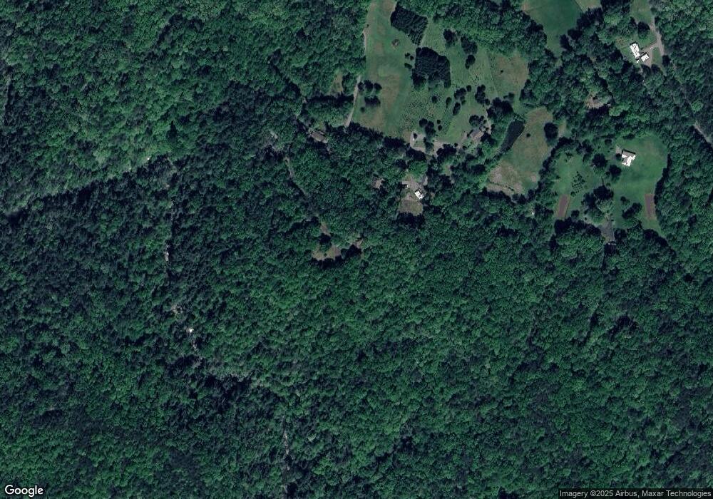
429 Woodland Ln Dahlonega, GA 30533
Estimated Value: $281,000 - $417,000
--
Bed
2
Baths
1,930
Sq Ft
$184/Sq Ft
Est. Value
About This Home
This home is located at 429 Woodland Ln, Dahlonega, GA 30533 and is currently estimated at $355,165, approximately $184 per square foot. 429 Woodland Ln is a home located in Lumpkin County with nearby schools including Lumpkin County High School.
Ownership History
Date
Name
Owned For
Owner Type
Purchase Details
Closed on
Jan 20, 2006
Sold by
Not Provided
Bought by
Ross Martin A and Nancy Jo
Current Estimated Value
Purchase Details
Closed on
Sep 13, 2004
Sold by
Cantrell Ruth S and Cantrell Charles S
Bought by
Ro Ss Martin A and Nancy Jo
Purchase Details
Closed on
Jul 2, 2002
Sold by
Cantrell Ruth S and Cantrell Charles S
Bought by
Cantrell Ruth S and Cantrell Charles S
Purchase Details
Closed on
Jun 7, 2002
Sold by
Ashley Eloise B
Bought by
Cantrell Ruth S and Cantrell Charles S
Purchase Details
Closed on
May 1, 1987
Bought by
Ashley Eloise B
Create a Home Valuation Report for This Property
The Home Valuation Report is an in-depth analysis detailing your home's value as well as a comparison with similar homes in the area
Home Values in the Area
Average Home Value in this Area
Purchase History
| Date | Buyer | Sale Price | Title Company |
|---|---|---|---|
| Ross Martin A | -- | -- | |
| Ro Ss Martin A | $152,500 | -- | |
| Cantrell Ruth S | -- | -- | |
| Cantrell Ruth S | -- | -- | |
| Ashley Eloise B | -- | -- |
Source: Public Records
Tax History Compared to Growth
Tax History
| Year | Tax Paid | Tax Assessment Tax Assessment Total Assessment is a certain percentage of the fair market value that is determined by local assessors to be the total taxable value of land and additions on the property. | Land | Improvement |
|---|---|---|---|---|
| 2024 | $526 | $127,648 | $17,346 | $110,302 |
| 2023 | $318 | $120,879 | $17,346 | $103,533 |
| 2022 | $360 | $103,825 | $14,453 | $89,372 |
| 2021 | $224 | $90,337 | $14,453 | $75,884 |
| 2020 | $203 | $87,913 | $13,852 | $74,061 |
| 2019 | $209 | $87,913 | $13,852 | $74,061 |
| 2018 | $147 | $80,744 | $13,852 | $66,892 |
| 2017 | $114 | $77,402 | $13,852 | $63,550 |
| 2016 | $28 | $70,174 | $13,852 | $56,322 |
| 2015 | $33 | $70,174 | $13,852 | $56,322 |
| 2014 | $33 | $71,451 | $13,852 | $57,599 |
| 2013 | -- | $72,160 | $13,852 | $58,308 |
Source: Public Records
Map
Nearby Homes
- 00 Woodland Ln
- 1556 Syrup Mill Rd
- 434 Emerald Ridge
- 7709 Highway 19 N
- 532 Ridley Rd
- 46 Deer Acres Dr
- 0 Yahoola Rd Unit 10535206
- 0 Yahoola Rd Unit 7590460
- 1896 Duffy Grizzle Rd
- 300 Sweet Apple Ln
- 13 Hallmark Place
- 338 Orchard Hill Rd
- 4864 Black Mountain Rd
- 200 Huntington Place
- 98 Elbert Gaddis Rd
- 96 Elbert Gaddis Rd
- 122 Tritt Rd
- 70 Rustin Ridge
- 30 Rustin Ridge
- 24 Rustin Ridge
- 359 Woodland Ln
- 337 Woodland Ln
- 389 Woodland Ln
- 213 Woodland Ln
- 276 Woodland Ln
- 143 Woodland Ln
- 394 Woodland Ln
- 61 Woodland Ln
- 141 Woodland Ln
- 1433 Ridley Rd
- 1252 Lazy Acres
- 172 Lazy Acres
- 1250 Lazy Acres
- 000 Woodland Lane Tract 3
- 0 Woodland Lane Tract 3
- 0 Woodland Lane Tract 1
- 0 Woodland Lane Tract 2
- 0 Woodland Lane Tract 5
- 0 Woodland Lane Tract 4
- 1335 Ridley Rd
