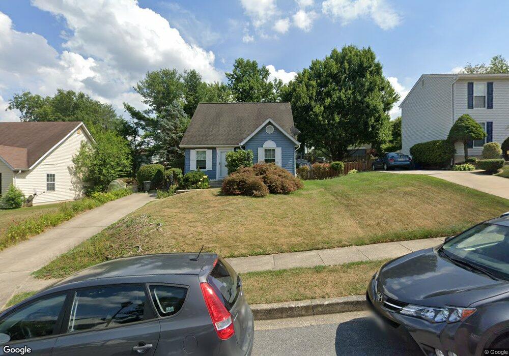
4293 Huntsman Trail Hampstead, MD 21074
Estimated Value: $277,301 - $340,000
Studio
2
Baths
1,008
Sq Ft
$318/Sq Ft
Est. Value
About This Home
This home is located at 4293 Huntsman Trail, Hampstead, MD 21074 and is currently estimated at $320,825, approximately $318 per square foot. 4293 Huntsman Trail is a home located in Carroll County with nearby schools including Spring Garden Elementary School, Shiloh Middle School, and Manchester Valley High School.
Ownership History
Date
Name
Owned For
Owner Type
Purchase Details
Closed on
Mar 24, 1998
Sold by
Redon William N
Bought by
Redon William N and Redon Barbara D
Current Estimated Value
Purchase Details
Closed on
Dec 22, 1986
Sold by
Woodhaven Building And
Bought by
Redon William N
Home Financials for this Owner
Home Financials are based on the most recent Mortgage that was taken out on this home.
Original Mortgage
$74,050
Interest Rate
9.3%
Create a Home Valuation Report for This Property
The Home Valuation Report is an in-depth analysis detailing your home's value as well as a comparison with similar homes in the area
Home Values in the Area
Average Home Value in this Area
Purchase History
| Date | Buyer | Sale Price | Title Company |
|---|---|---|---|
| Redon William N | -- | -- | |
| Redon William N | $72,300 | -- |
Source: Public Records
Mortgage History
| Date | Status | Borrower | Loan Amount |
|---|---|---|---|
| Previous Owner | Redon William N | $74,050 |
Source: Public Records
Tax History
| Year | Tax Paid | Tax Assessment Tax Assessment Total Assessment is a certain percentage of the fair market value that is determined by local assessors to be the total taxable value of land and additions on the property. | Land | Improvement |
|---|---|---|---|---|
| 2025 | $3,146 | $229,900 | $90,000 | $139,900 |
| 2024 | $3,048 | $222,567 | $0 | $0 |
| 2023 | $2,949 | $215,233 | $0 | $0 |
| 2022 | $2,851 | $207,900 | $85,000 | $122,900 |
| 2021 | $5,779 | $205,267 | $0 | $0 |
| 2020 | $2,795 | $202,633 | $0 | $0 |
| 2019 | $2,759 | $200,000 | $85,000 | $115,000 |
| 2018 | $2,670 | $194,867 | $0 | $0 |
| 2017 | $2,601 | $189,733 | $0 | $0 |
| 2016 | -- | $184,600 | $0 | $0 |
| 2015 | -- | $183,800 | $0 | $0 |
| 2014 | -- | $183,000 | $0 | $0 |
Source: Public Records
Map
Nearby Homes
- 4290 N Woods Trail
- 4240 Crystal Ct Unit 2A
- 4207 Ralph Ave
- 4470 Woodsman Dr Unit 731
- 1004 Scarlet Oak Ct Unit 1D
- 930 Gaming Square
- 4440 N Woods Trail
- 920 N Houcksville Rd
- 740 Spotters Ct
- 3992 Terrace Dr
- 3870 Normandy Dr Unit 2C
- 3860 Normandy Dr Unit 3D
- 4138 Hillcrest Ave
- 1151 Caton Rd
- 820 Wembley Dr Unit 2C
- 820 Wembley Dr Unit 2A
- 820 Wembley Dr Unit 2B
- 820 Wembley Dr Unit 3D
- 820 Wembley Dr Unit 2D
- 820 Wembley Dr Unit 1D
- 4295 Huntsman Trail
- 4291 Huntsman Trail
- 4297 Huntsman Trail
- 4289 Huntsman Trail
- 4278 Buckskin Trail
- 4280 Buckskin Trail
- 4296 Huntsman Trail
- 4294 Huntsman Trail
- 4276 Buckskin Trail
- 4287 Huntsman Trail
- 4298 Huntsman Trail
- 4282 Buckskin Trail
- 4299 Huntsman Trail
- 4292 Huntsman Trail
- 892 Century St
- 4274 Buckskin Trail
- 4300 Huntsman Trail
- 890 Century St
- 4284 Buckskin Trail
- 4285 Huntsman Trail
Your Personal Tour Guide
Ask me questions while you tour the home.