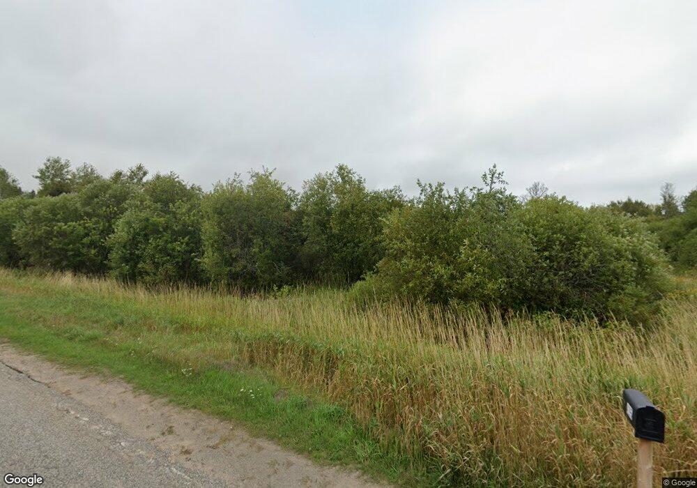
4295 E 5 Mile Rd Sault Sainte Marie, MI 49783
Estimated Value: $253,000 - $323,000
--
Bed
--
Bath
--
Sq Ft
10.02
Acres
About This Home
This home is located at 4295 E 5 Mile Rd, Sault Sainte Marie, MI 49783 and is currently estimated at $281,100. 4295 E 5 Mile Rd is a home located in Chippewa County with nearby schools including Sault Area Middle School, Sault Area High School, and St. Mary's School.
Ownership History
Date
Name
Owned For
Owner Type
Purchase Details
Closed on
Sep 24, 2012
Sold by
Chippewa County
Bought by
Robinson Renee E
Current Estimated Value
Purchase Details
Closed on
Jan 13, 2012
Sold by
Gervais Diane K and Gervais Joel
Bought by
The Huntington National Bank
Purchase Details
Closed on
May 24, 2007
Sold by
Floyd Kay A and Floyd Kay
Bought by
Gervais Diane
Home Financials for this Owner
Home Financials are based on the most recent Mortgage that was taken out on this home.
Original Mortgage
$168,000
Interest Rate
6.21%
Mortgage Type
Future Advance Clause Open End Mortgage
Purchase Details
Closed on
May 30, 2006
Sold by
Jennifer Jennifer and Floyd Ronald T
Bought by
Floyd Kay A
Purchase Details
Closed on
Dec 20, 2005
Sold by
Jennifer Jennifer and Floyd Ronald J
Bought by
Floyd Kay A
Create a Home Valuation Report for This Property
The Home Valuation Report is an in-depth analysis detailing your home's value as well as a comparison with similar homes in the area
Home Values in the Area
Average Home Value in this Area
Purchase History
| Date | Buyer | Sale Price | Title Company |
|---|---|---|---|
| Robinson Renee E | $58,000 | -- | |
| The Huntington National Bank | $85,500 | -- | |
| Gervais Diane | $135,000 | -- | |
| Floyd Kay A | -- | -- | |
| Floyd Kay A | -- | -- |
Source: Public Records
Mortgage History
| Date | Status | Borrower | Loan Amount |
|---|---|---|---|
| Previous Owner | Gervais Diane | $168,000 |
Source: Public Records
Tax History Compared to Growth
Tax History
| Year | Tax Paid | Tax Assessment Tax Assessment Total Assessment is a certain percentage of the fair market value that is determined by local assessors to be the total taxable value of land and additions on the property. | Land | Improvement |
|---|---|---|---|---|
| 2025 | $82 | $16,000 | $0 | $0 |
| 2024 | $25 | $16,000 | $0 | $0 |
| 2023 | $882 | $85,600 | $0 | $0 |
| 2022 | $882 | $76,500 | $0 | $0 |
| 2021 | $1,524 | $70,500 | $0 | $0 |
| 2020 | $1,508 | $71,200 | $0 | $0 |
| 2019 | $1,652 | $79,900 | $0 | $0 |
| 2018 | $1,613 | $75,200 | $0 | $0 |
| 2017 | $906 | $74,800 | $0 | $0 |
| 2016 | $898 | $74,900 | $0 | $0 |
| 2011 | $847 | $69,000 | $0 | $0 |
Source: Public Records
Map
Nearby Homes
- 0 S Maplewood Dr
- 4531 E 5 Mile Rd
- 4671 S Nicolet Rd
- 4593 S Nicolet Rd
- 4235 S Riverside Dr
- 3584 S Westshore Dr
- 000 E 7 Mile Rd
- 000 E 7 Mile Rd
- Parcel B E 7 Mile Rd
- 0 E 7 Mile Rd
- 2039 S Riverside Dr
- 6138 S Laramie Ln
- 10 Acres Brasser
- 3032 S Frances Ave
- 2017 S Whitehead Rd
- 2039 Riverside Dr
- 0 W Cedar Dr Unit 24-1105
- 4242 E 5 Mile Rd
- 4229 E 5 Mile Rd
- 4396 E 5 Mile Rd
- 4430 E 5 Mile Rd
- Lot 15 S Maplewood Dr
- Lot 15 S Maplewood Dr Unit Lot 15
- Lot 19 S Maplewood Dr
- Lot 18 S Maplewood Dr
- Lot 17 S Maplewood Dr
- Lot 12 S Maplewood Dr
- Lot 19 S Maplewood Dr Unit Lot 19
- Lot 18 S Maplewood Dr Unit Lot 18
- Lot 17 S Maplewood Dr Unit Lot 17
- Lot 21 S Maplewood Dr
- Lot 21 S Maplewood Dr Unit Lot 21
- Lot 23 S Maplewood Dr
- Lot 22 S Maplewood Dr
- Lot 23 S Maplewood Dr Unit Lot 23
- Lot 24 S Maplewood Dr
- Lot 16 S Maplewood Dr