4295 Hamilton Walk Dr Buford, GA 30519
Estimated Value: $347,000 - $416,000
3
Beds
2
Baths
1,753
Sq Ft
$220/Sq Ft
Est. Value
About This Home
This home is located at 4295 Hamilton Walk Dr, Buford, GA 30519 and is currently estimated at $384,851, approximately $219 per square foot. 4295 Hamilton Walk Dr is a home located in Gwinnett County with nearby schools including Ivy Creek Elementary School and Glenn C. Jones Middle School.
Ownership History
Date
Name
Owned For
Owner Type
Purchase Details
Closed on
Dec 10, 1997
Sold by
Jay C Bullock Builder Inc
Bought by
Spradlin Randy D and Spradlin Linda C
Current Estimated Value
Home Financials for this Owner
Home Financials are based on the most recent Mortgage that was taken out on this home.
Original Mortgage
$123,370
Outstanding Balance
$19,370
Interest Rate
7.19%
Mortgage Type
New Conventional
Estimated Equity
$365,481
Create a Home Valuation Report for This Property
The Home Valuation Report is an in-depth analysis detailing your home's value as well as a comparison with similar homes in the area
Home Values in the Area
Average Home Value in this Area
Purchase History
| Date | Buyer | Sale Price | Title Company |
|---|---|---|---|
| Spradlin Randy D | $123,400 | -- | |
| Jay C Bullock Builder Inc | $22,500 | -- |
Source: Public Records
Mortgage History
| Date | Status | Borrower | Loan Amount |
|---|---|---|---|
| Open | Jay C Bullock Builder Inc | $123,370 | |
| Closed | Jay C Bullock Builder Inc | $111,000 |
Source: Public Records
Tax History Compared to Growth
Tax History
| Year | Tax Paid | Tax Assessment Tax Assessment Total Assessment is a certain percentage of the fair market value that is determined by local assessors to be the total taxable value of land and additions on the property. | Land | Improvement |
|---|---|---|---|---|
| 2025 | $818 | $138,240 | $32,800 | $105,440 |
| 2024 | $827 | $142,480 | $34,000 | $108,480 |
| 2023 | $827 | $129,160 | $30,400 | $98,760 |
| 2022 | $786 | $121,560 | $27,200 | $94,360 |
| 2021 | $2,728 | $93,120 | $22,360 | $70,760 |
| 2020 | $2,619 | $87,120 | $20,720 | $66,400 |
| 2019 | $2,401 | $79,360 | $17,920 | $61,440 |
| 2018 | $2,326 | $75,880 | $17,920 | $57,960 |
| 2016 | $2,068 | $62,880 | $14,400 | $48,480 |
| 2015 | $1,972 | $57,960 | $12,000 | $45,960 |
| 2014 | $1,989 | $58,400 | $12,000 | $46,400 |
Source: Public Records
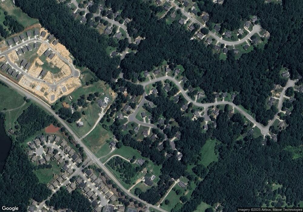
Map
Nearby Homes
- 2415 Hamilton Parc Ln
- 2485 Hamilton Parc Ln
- 4082 Adler Cir Unit 35
- 4082 Adler Cir
- Tucker II Plan at The Paddocks at Doc Hughes
- Canton II Plan at The Paddocks at Doc Hughes
- Riverside Plan at The Paddocks at Doc Hughes
- Shelby Plan at The Paddocks at Doc Hughes
- Emerson Plan at The Paddocks at Doc Hughes
- 3941 Adler Cir
- 3475 Duncan Bridge Dr Unit 2
- 2590 Hamilton Parc Ln
- 4012 Adler Cir
- 2114 Sorrento Ct
- 4132 Rovello Way
- 2200 Spring Sound Ln
- 2206 Spring Stone Ct
- 4602 Shay Terrace
- 2171 Spring Sound Ln
- 4271 Haywater Cove
- 4245 Hamilton Walk Dr
- 4305 Hamilton Walk Dr
- 4305 Hamilton Walk Dr
- 4235 Hamilton Walk Dr
- 2380 Hamilton Parc Ln
- 0 Hamilton Walk Dr Unit 7543435
- 0 Hamilton Walk Dr Unit 7314052
- 0 Hamilton Walk Dr Unit 7026637
- 0 Hamilton Walk Dr Unit 3248758
- 0 Hamilton Walk Dr Unit 8874163
- 0 Hamilton Walk Dr Unit 8288011
- 0 Hamilton Walk Dr Unit 8209188
- 0 Hamilton Walk Dr Unit 8161649
- 4300 Hamilton Walk Dr
- 2410 Hamilton Parc Ln
- 2370 Hamilton Parc Ln
- 4225 Hamilton Walk Dr
- 4280 Hamilton Walk Dr
- 4240 Hamilton Walk Dr
- 4250 Hamilton Walk Dr