Estimated Value: $313,888 - $476,000
3
Beds
2
Baths
1,230
Sq Ft
$325/Sq Ft
Est. Value
About This Home
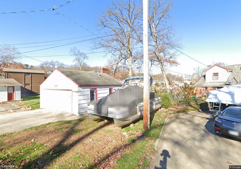
This home is located at 4295 Jan Dr, Akron, OH 44319 and is currently estimated at $399,472, approximately $324 per square foot. 4295 Jan Dr is a home located in Summit County with nearby schools including Nolley Elementary School, Manchester Middle School, and Manchester High School.
Ownership History
Date
Name
Owned For
Owner Type
Purchase Details
Closed on
Sep 4, 1998
Sold by
Volois Calli
Bought by
Lipscomb Terry M and Lipscomb George
Current Estimated Value
Home Financials for this Owner
Home Financials are based on the most recent Mortgage that was taken out on this home.
Original Mortgage
$112,000
Outstanding Balance
$24,216
Interest Rate
7.04%
Mortgage Type
New Conventional
Estimated Equity
$375,256
Create a Home Valuation Report for This Property
The Home Valuation Report is an in-depth analysis detailing your home's value as well as a comparison with similar homes in the area
Home Values in the Area
Average Home Value in this Area
Purchase History
| Date | Buyer | Sale Price | Title Company |
|---|---|---|---|
| Lipscomb Terry M | $140,000 | -- |
Source: Public Records
Mortgage History
| Date | Status | Borrower | Loan Amount |
|---|---|---|---|
| Open | Lipscomb Terry M | $112,000 |
Source: Public Records
Tax History Compared to Growth
Tax History
| Year | Tax Paid | Tax Assessment Tax Assessment Total Assessment is a certain percentage of the fair market value that is determined by local assessors to be the total taxable value of land and additions on the property. | Land | Improvement |
|---|---|---|---|---|
| 2025 | $5,289 | $114,507 | $44,363 | $70,144 |
| 2024 | $5,289 | $114,507 | $44,363 | $70,144 |
| 2023 | $5,289 | $114,507 | $44,363 | $70,144 |
| 2022 | $4,983 | $86,086 | $29,575 | $56,511 |
| 2021 | $5,000 | $86,086 | $29,575 | $56,511 |
| 2020 | $4,914 | $86,090 | $29,580 | $56,510 |
| 2019 | $4,847 | $77,110 | $29,580 | $47,530 |
| 2018 | $4,184 | $77,110 | $29,580 | $47,530 |
| 2017 | $3,995 | $77,110 | $29,580 | $47,530 |
| 2016 | $3,953 | $67,950 | $29,580 | $38,370 |
| 2015 | $3,995 | $67,950 | $29,580 | $38,370 |
| 2014 | $3,967 | $67,950 | $29,580 | $38,370 |
| 2013 | $3,627 | $63,210 | $29,580 | $33,630 |
Source: Public Records
Map
Nearby Homes
- 4131 State Park Dr
- 4119 Melton Ave
- 410 Silk Ct
- 538 Melcher Ave
- 2 Starboard Cir Unit 77
- 0 W Turkeyfoot Lake Rd Unit 5157637
- 68 Starboard Cir
- 63 Starboard Cir Unit 64
- 196 Lake Front Dr
- 4138 S Main St
- 3870 S Main St
- 4298 S Main St Unit 4302
- 4674 S Main St
- 3704 S Turkeyfoot Rd
- 0 Sandy Beach Dr
- 369 E Pace Ave
- TBD Heron Watch Dr
- 222 Olden Ave
- 4216 State Rd
- 3785 S Main St