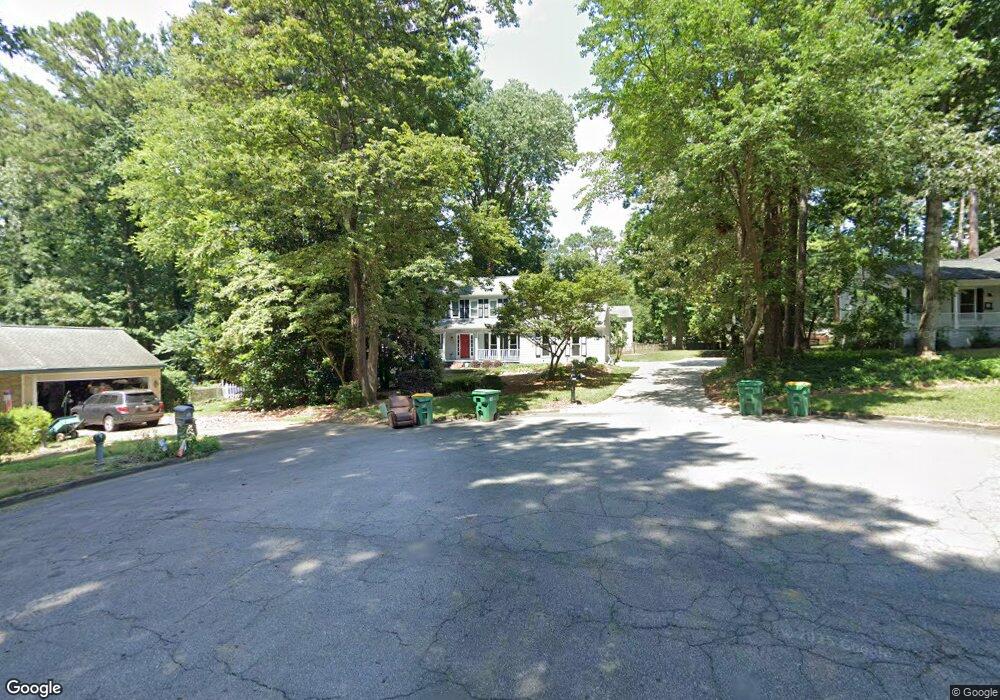
4295 Patrick Trace Unit 6 Norcross, GA 30092
Estimated Value: $507,000 - $547,000
3
Beds
3
Baths
1,632
Sq Ft
$324/Sq Ft
Est. Value
About This Home
This home is located at 4295 Patrick Trace Unit 6, Norcross, GA 30092 and is currently estimated at $528,234, approximately $323 per square foot. 4295 Patrick Trace Unit 6 is a home located in Gwinnett County with nearby schools including Simpson Elementary School, Pinckneyville Middle School, and Norcross High School.
Ownership History
Date
Name
Owned For
Owner Type
Purchase Details
Closed on
Apr 30, 1999
Sold by
White Garret D and White Shelley E
Bought by
Fischer William and Fischer Jennifer
Current Estimated Value
Home Financials for this Owner
Home Financials are based on the most recent Mortgage that was taken out on this home.
Original Mortgage
$131,300
Outstanding Balance
$32,402
Interest Rate
6.98%
Mortgage Type
New Conventional
Estimated Equity
$495,832
Purchase Details
Closed on
Aug 15, 1995
Sold by
Bushey Gregory
Bought by
White Garrett D Shelley
Create a Home Valuation Report for This Property
The Home Valuation Report is an in-depth analysis detailing your home's value as well as a comparison with similar homes in the area
Home Values in the Area
Average Home Value in this Area
Purchase History
| Date | Buyer | Sale Price | Title Company |
|---|---|---|---|
| Fischer William | $164,200 | -- | |
| White Garrett D Shelley | $139,500 | -- |
Source: Public Records
Mortgage History
| Date | Status | Borrower | Loan Amount |
|---|---|---|---|
| Open | Fischer William | $131,300 | |
| Closed | White Garrett D Shelley | $0 |
Source: Public Records
Tax History
| Year | Tax Paid | Tax Assessment Tax Assessment Total Assessment is a certain percentage of the fair market value that is determined by local assessors to be the total taxable value of land and additions on the property. | Land | Improvement |
|---|---|---|---|---|
| 2025 | $4,997 | $206,920 | $38,000 | $168,920 |
| 2024 | -- | $164,200 | $36,400 | $127,800 |
| 2023 | $3,781 | $164,200 | $36,400 | $127,800 |
| 2022 | $0 | $142,720 | $32,800 | $109,920 |
| 2021 | $3,473 | $127,560 | $26,240 | $101,320 |
| 2020 | $3,473 | $121,000 | $26,000 | $95,000 |
| 2019 | $3,406 | $121,000 | $26,000 | $95,000 |
| 2018 | $3,242 | $112,880 | $24,000 | $88,880 |
| 2016 | $2,686 | $88,960 | $24,000 | $64,960 |
| 2015 | $2,708 | $88,960 | $24,000 | $64,960 |
| 2014 | $2,518 | $86,040 | $24,000 | $62,040 |
Source: Public Records
Map
Nearby Homes
- 4295 Shawn Ct
- 5630 Knox Ct
- 4373 Fielding Ln
- 4635 Walden Trace
- 4566 Stilson Cir
- 4457 Stilson Cir Unit 13
- 4220 Mary Ct
- 5545 Fitzpatrick Terrace
- 5221 W Jones Bridge Rd
- 4266 Jones Bridge Cir
- 5350 Wickershire Dr
- 5727 Shawn Terrace
- 5368 Broadwood Ave
- 4594 Cape Kure Ct
- 5830 Wilbanks Dr
- 5375 Fox Hill Dr
- 4168 Allenhurst Dr
- 5809 Alvaton Ct
- 4610 Clivedon Terrace
- 5716 Fairley Hall Ct
- 4285 Patrick Trace
- 4300 Fitzpatrick Way Unit 6
- 4305 Patrick Trace
- 4310 Fitzpatrick Way
- 4290 Fitzpatrick Way
- 5558 Fitzpatrick Trace Unit 6
- 4294 Patrick Trace
- 4275 Patrick Trace Unit 7
- 0 Patrick Trace
- 4284 Patrick Trace Unit 6
- 4280 Fitzpatrick Way
- 4260 Fitzpatrick Way
- 4274 Patrick Trace Unit 7
- 4270 Fitzpatrick Way Unit 7
- 4720 Jones Bridge Cir
- 4293 Fitzpatrick Way Unit 1
- 4283 Fitzpatrick Way Unit 1
- 4303 Fitzpatrick Way Unit 1
- 4315 Shawn Ct
- 4264 Patrick Trace
Your Personal Tour Guide
Ask me questions while you tour the home.