4296 Glenmore Rd Waycross, GA 31503
Estimated Value: $85,541 - $418,000
3
Beds
1
Bath
1,770
Sq Ft
$120/Sq Ft
Est. Value
About This Home
This home is located at 4296 Glenmore Rd, Waycross, GA 31503 and is currently estimated at $212,885, approximately $120 per square foot. 4296 Glenmore Rd is a home located in Ware County with nearby schools including Ruskin Elementary School, Ware County Middle School, and Ware County High School.
Ownership History
Date
Name
Owned For
Owner Type
Purchase Details
Closed on
Aug 20, 2008
Sold by
Welch Gladys
Bought by
Thrift Ellie Lone
Current Estimated Value
Home Financials for this Owner
Home Financials are based on the most recent Mortgage that was taken out on this home.
Original Mortgage
$21,000
Interest Rate
6.61%
Mortgage Type
New Conventional
Purchase Details
Closed on
Jul 22, 2008
Sold by
Thrift Wheeler Sherry
Bought by
Thrift Ellie Lone
Home Financials for this Owner
Home Financials are based on the most recent Mortgage that was taken out on this home.
Original Mortgage
$21,000
Interest Rate
6.61%
Mortgage Type
New Conventional
Purchase Details
Closed on
Jul 21, 2008
Sold by
Thrift James Leroy
Bought by
Thrift James
Home Financials for this Owner
Home Financials are based on the most recent Mortgage that was taken out on this home.
Original Mortgage
$21,000
Interest Rate
6.61%
Mortgage Type
New Conventional
Create a Home Valuation Report for This Property
The Home Valuation Report is an in-depth analysis detailing your home's value as well as a comparison with similar homes in the area
Home Values in the Area
Average Home Value in this Area
Purchase History
| Date | Buyer | Sale Price | Title Company |
|---|---|---|---|
| Thrift Ellie Lone | $21,000 | -- | |
| Thrift Ellie Lone | -- | -- | |
| Thrift Ellie Lone | -- | -- | |
| Thrift Ellie Lone | -- | -- | |
| Thrift James | -- | -- |
Source: Public Records
Mortgage History
| Date | Status | Borrower | Loan Amount |
|---|---|---|---|
| Closed | Thrift Ellie Lone | $21,000 |
Source: Public Records
Tax History Compared to Growth
Tax History
| Year | Tax Paid | Tax Assessment Tax Assessment Total Assessment is a certain percentage of the fair market value that is determined by local assessors to be the total taxable value of land and additions on the property. | Land | Improvement |
|---|---|---|---|---|
| 2024 | $275 | $18,059 | $3,819 | $14,240 |
| 2023 | $281 | $15,530 | $3,553 | $11,977 |
| 2022 | $325 | $15,530 | $3,553 | $11,977 |
| 2021 | $273 | $10,713 | $2,733 | $7,980 |
| 2020 | $265 | $10,371 | $2,733 | $7,638 |
| 2019 | $260 | $10,029 | $2,733 | $7,296 |
| 2018 | $251 | $9,686 | $2,733 | $6,953 |
| 2017 | $251 | $9,686 | $2,733 | $6,953 |
| 2016 | $251 | $9,686 | $2,733 | $6,953 |
| 2015 | $211 | $8,423 | $1,470 | $6,953 |
| 2014 | $297 | $11,045 | $1,470 | $9,575 |
| 2013 | -- | $11,044 | $1,470 | $9,574 |
Source: Public Records
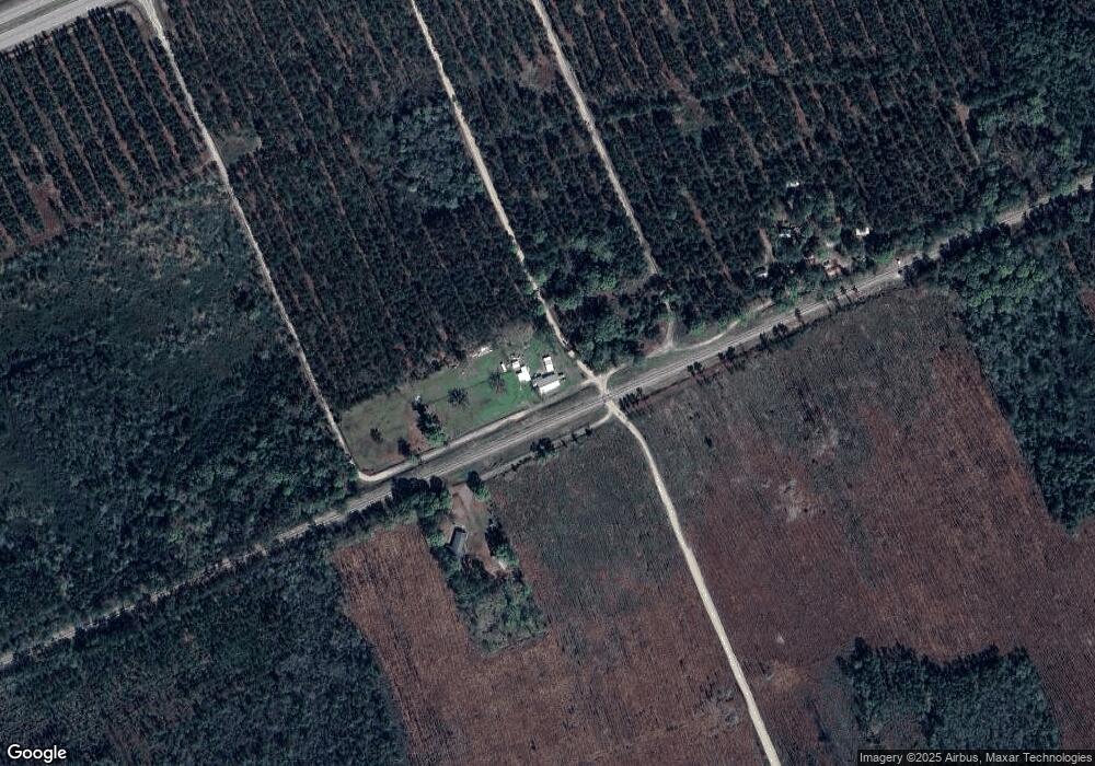
Map
Nearby Homes
- 0 Fire Tower Rd
- 0 (Lot 3) Corbitt Rd
- 0 (Lot 2) Corbitt Rd
- 0 (Lot 6) Corbitt Rd
- Lot 4 Henderson Dr
- Lot 8 Stovall Ln
- 4446 S Manor Millwood
- 4108 Buck Griffin Rd
- 121 Farms Edge Rd
- 465 Oe McDonald Rd
- 82 Old 122 Hwy E
- 0 Odum Rd
- 0 Perch Creek Trail Unit 10600480
- 1125 Barn Owl Ln
- 3222 Bertran Trail
- 6176 Perch Creek Trail
- 1690 Smith Rd
- 1602 Smith Rd
- 3207 Bertran Trail
- 0 Grey Hawk Rd