4297 Dillon Rd Doylestown, PA 18902
Plumstead NeighborhoodEstimated Value: $555,000 - $608,000
4
Beds
1
Bath
1,806
Sq Ft
$318/Sq Ft
Est. Value
About This Home
This home is located at 4297 Dillon Rd, Doylestown, PA 18902 and is currently estimated at $573,524, approximately $317 per square foot. 4297 Dillon Rd is a home located in Bucks County with nearby schools including Gayman Elementary School, Tohickon Middle School, and Central Bucks High School - East.
Ownership History
Date
Name
Owned For
Owner Type
Purchase Details
Closed on
Mar 27, 1998
Sold by
Troester Frank
Bought by
Kobal David and Kobal Amy E
Current Estimated Value
Home Financials for this Owner
Home Financials are based on the most recent Mortgage that was taken out on this home.
Original Mortgage
$146,000
Outstanding Balance
$26,403
Interest Rate
6.89%
Estimated Equity
$547,121
Purchase Details
Closed on
May 10, 1989
Sold by
Larsen Robert L and Larsen Patricia C
Bought by
Larsen Patricia
Create a Home Valuation Report for This Property
The Home Valuation Report is an in-depth analysis detailing your home's value as well as a comparison with similar homes in the area
Home Values in the Area
Average Home Value in this Area
Purchase History
| Date | Buyer | Sale Price | Title Company |
|---|---|---|---|
| Kobal David | $182,500 | T A Title Insurance Company | |
| Larsen Patricia | -- | -- |
Source: Public Records
Mortgage History
| Date | Status | Borrower | Loan Amount |
|---|---|---|---|
| Open | Kobal David | $146,000 |
Source: Public Records
Tax History Compared to Growth
Tax History
| Year | Tax Paid | Tax Assessment Tax Assessment Total Assessment is a certain percentage of the fair market value that is determined by local assessors to be the total taxable value of land and additions on the property. | Land | Improvement |
|---|---|---|---|---|
| 2025 | $3,795 | $21,840 | $7,200 | $14,640 |
| 2024 | $3,795 | $21,840 | $7,200 | $14,640 |
| 2023 | $3,371 | $20,040 | $7,200 | $12,840 |
| 2022 | $3,334 | $20,040 | $7,200 | $12,840 |
| 2021 | $3,296 | $20,040 | $7,200 | $12,840 |
| 2020 | $3,296 | $20,040 | $7,200 | $12,840 |
| 2019 | $3,276 | $20,040 | $7,200 | $12,840 |
| 2018 | $3,276 | $20,040 | $7,200 | $12,840 |
| 2017 | $3,231 | $20,040 | $7,200 | $12,840 |
| 2016 | $3,231 | $20,040 | $7,200 | $12,840 |
| 2015 | -- | $20,040 | $7,200 | $12,840 |
| 2014 | -- | $20,040 | $7,200 | $12,840 |
Source: Public Records
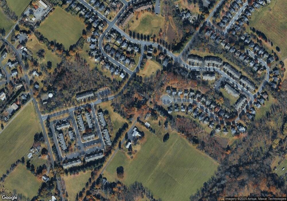
Map
Nearby Homes
- 4221 Sir Andrew Cir
- 4190 Milords Ln
- 4330 Kleinot Dr
- 4306 Kleinot Dr
- 4298 Kleinot Dr
- 4246 Kleinot Dr
- 4317 Kleinot Dr
- 4263 Kleinot Dr
- 4464 Kleinot Dr
- 3923 Ferry Rd
- 4748 Bishop Cir
- 3838 Jacob Stout Rd
- 3765 William Daves Rd
- 3723 William Daves Rd
- 3711 Jacob Stout Rd Unit 5
- 4605 Twinbrook Cir
- 4964 Point Pleasant Pike
- 4925 Redfield Rd
- 4936 Davis Dr
- 114 Blackfriars Cir
- 4294 Dillon Rd
- 4502 Old Oak Rd
- 4252 Dillon Rd
- 4499 Summer Meadow Dr
- 4498 Summer Meadow Dr
- 4501 Old Oak Rd
- 4504 Old Oak Rd
- 4503 Old Oak Rd
- 4497 Summer Meadow Dr
- 4496 Summer Meadow Dr
- 4087 Redbud Cir
- 4081 Redbud Cir
- 4079 Redbud Cir
- 4495 Summer Meadow Dr
- 4241 Signature Dr
- 4505 Old Oak Rd
- 4508 Old Oak Rd
- 4073 Redbud Cir
- 4166 Signature Dr
- 4504 Summerhill Dr