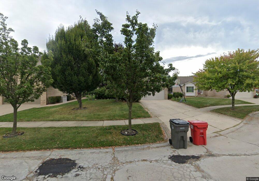
42970 Ian Ct Clinton Township, MI 48038
Estimated Value: $392,201 - $420,000
3
Beds
2
Baths
1,695
Sq Ft
$238/Sq Ft
Est. Value
About This Home
This home is located at 42970 Ian Ct, Clinton Township, MI 48038 and is currently estimated at $403,800, approximately $238 per square foot. 42970 Ian Ct is a home located in Macomb County with nearby schools including Erie Elementary School, Wyandot Middle School, and Chippewa Valley High School.
Ownership History
Date
Name
Owned For
Owner Type
Purchase Details
Closed on
Jun 30, 2011
Sold by
Federal Home Loan Mortgage Corporation
Bought by
Marchesi Marty J and Marchesi Marnie
Current Estimated Value
Home Financials for this Owner
Home Financials are based on the most recent Mortgage that was taken out on this home.
Original Mortgage
$124,000
Outstanding Balance
$85,349
Interest Rate
4.52%
Mortgage Type
New Conventional
Estimated Equity
$318,451
Purchase Details
Closed on
Jul 30, 2010
Sold by
Burke William S
Bought by
Federal Home Loan Mortgage Corp
Purchase Details
Closed on
Mar 15, 1996
Sold by
Terra Bldg Co
Bought by
Burke W and Burke S
Create a Home Valuation Report for This Property
The Home Valuation Report is an in-depth analysis detailing your home's value as well as a comparison with similar homes in the area
Home Values in the Area
Average Home Value in this Area
Purchase History
| Date | Buyer | Sale Price | Title Company |
|---|---|---|---|
| Marchesi Marty J | $155,000 | Attorneys Title Agency Llc | |
| Federal Home Loan Mortgage Corp | $172,534 | None Available | |
| Burke W | $157,900 | -- |
Source: Public Records
Mortgage History
| Date | Status | Borrower | Loan Amount |
|---|---|---|---|
| Open | Marchesi Marty J | $124,000 |
Source: Public Records
Tax History Compared to Growth
Tax History
| Year | Tax Paid | Tax Assessment Tax Assessment Total Assessment is a certain percentage of the fair market value that is determined by local assessors to be the total taxable value of land and additions on the property. | Land | Improvement |
|---|---|---|---|---|
| 2025 | $4,757 | $187,900 | $0 | $0 |
| 2024 | $2,834 | $178,800 | $0 | $0 |
| 2023 | $2,688 | $158,600 | $0 | $0 |
| 2022 | $4,310 | $135,000 | $0 | $0 |
| 2021 | $4,192 | $130,200 | $0 | $0 |
| 2020 | $2,466 | $126,600 | $0 | $0 |
| 2019 | $3,905 | $116,300 | $0 | $0 |
| 2018 | $3,836 | $109,100 | $0 | $0 |
| 2017 | $3,789 | $105,500 | $28,400 | $77,100 |
| 2016 | $3,766 | $105,500 | $0 | $0 |
| 2015 | -- | $99,100 | $0 | $0 |
| 2014 | -- | $95,100 | $0 | $0 |
| 2011 | -- | $88,700 | $24,100 | $64,600 |
Source: Public Records
Map
Nearby Homes
- 20784 Cannon Dr
- 43378 Riverbend Blvd
- 43440 Riverbend Blvd
- 20757 Cueter Ln
- 20654 Dunham Rd Unit 24
- 42328 Sheridan Ct
- 20465 Saint Laurence Dr
- 42243 Little Rd
- 20561 Longwood Dr Unit 64
- 44000 Dunham Ct
- 0 Clinton River Rd Unit 20251013874
- 43300 Little Rd
- 42125 Little Rd
- 19790 Westchester Dr Unit 11
- 42415 Colorado Dr Unit 14
- 281 Carlson St
- 42680 Chippewa Dr Unit 28
- 43377 Rivergate Dr
- 62 Rosebud Ln Unit C47
- 43363 Herring Dr