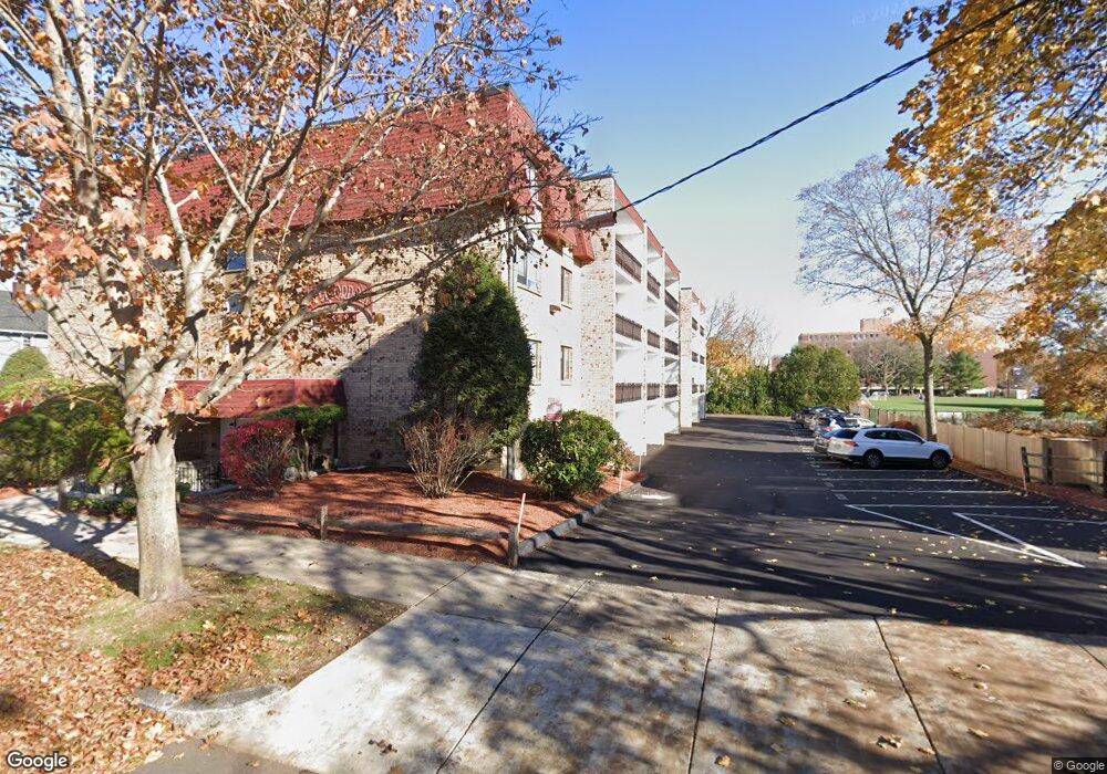
43 Albion St Unit 51 Melrose, MA 02176
Melrose Highlands NeighborhoodEstimated Value: $476,291 - $522,000
2
Beds
1
Bath
1,200
Sq Ft
$414/Sq Ft
Est. Value
About This Home
This home is located at 43 Albion St Unit 51, Melrose, MA 02176 and is currently estimated at $496,323, approximately $413 per square foot. 43 Albion St Unit 51 is a home located in Middlesex County with nearby schools including Roosevelt Elementary School, Horace Mann Elementary School, and Winthrop Elementary School.
Ownership History
Date
Name
Owned For
Owner Type
Purchase Details
Closed on
Jun 14, 1995
Sold by
Hughes Mary B
Bought by
Ridley Ft and Regan Mary D
Current Estimated Value
Purchase Details
Closed on
Apr 4, 1989
Sold by
Dinanno Anthony C
Bought by
Hughes Mary B
Home Financials for this Owner
Home Financials are based on the most recent Mortgage that was taken out on this home.
Original Mortgage
$94,200
Interest Rate
10.63%
Mortgage Type
Purchase Money Mortgage
Create a Home Valuation Report for This Property
The Home Valuation Report is an in-depth analysis detailing your home's value as well as a comparison with similar homes in the area
Home Values in the Area
Average Home Value in this Area
Purchase History
| Date | Buyer | Sale Price | Title Company |
|---|---|---|---|
| Ridley Ft | $120,000 | -- | |
| Hughes Mary B | $134,900 | -- |
Source: Public Records
Mortgage History
| Date | Status | Borrower | Loan Amount |
|---|---|---|---|
| Previous Owner | Hughes Mary B | $77,000 | |
| Previous Owner | Hughes Mary B | $94,200 |
Source: Public Records
Tax History Compared to Growth
Tax History
| Year | Tax Paid | Tax Assessment Tax Assessment Total Assessment is a certain percentage of the fair market value that is determined by local assessors to be the total taxable value of land and additions on the property. | Land | Improvement |
|---|---|---|---|---|
| 2025 | $38 | $381,100 | $0 | $381,100 |
| 2024 | $3,742 | $376,800 | $0 | $376,800 |
| 2023 | $3,814 | $366,000 | $0 | $366,000 |
| 2022 | $3,708 | $350,800 | $0 | $350,800 |
| 2021 | $3,560 | $325,100 | $0 | $325,100 |
| 2020 | $3,592 | $325,100 | $0 | $325,100 |
| 2019 | $3,112 | $287,900 | $0 | $287,900 |
| 2018 | $2,996 | $264,400 | $0 | $264,400 |
| 2017 | $2,832 | $240,000 | $0 | $240,000 |
| 2016 | $2,652 | $215,100 | $0 | $215,100 |
| 2015 | $2,788 | $215,100 | $0 | $215,100 |
| 2014 | $2,761 | $207,900 | $0 | $207,900 |
Source: Public Records
Map
Nearby Homes
- 260 Tremont St Unit 1
- 260 Tremont St Unit 13
- 180 Green St Unit 415
- 119 W Highland Ave Unit 1
- 51 Brunswick Park
- 54 Brunswick Park
- 130 Tremont St Unit 407
- 8 Crystal St Unit 3
- 8 Crystal St Unit 2
- 46 Pearl St
- 123 Linden Rd
- 152 Lincoln St
- 46 Youle St
- 105 Walton Park
- 45 Vinton St
- 109 Orris St
- 34 Rockland St
- 15 Howard St
- 108 Greenwood St
- 203 Porter St
- 43 Albion St Unit C10
- 43 Albion St Unit A2
- 43 Albion St Unit A9
- 43 Albion St Unit A8
- 43 Albion St Unit B2
- 43 Albion St Unit B7
- 43 Albion St Unit B8
- 43 Albion St Unit 51
- 43 Albion St Unit 51
- 43 Albion St Unit 51
- 43 Albion St Unit 51
- 43 Albion St Unit 51
- 43 Albion St Unit 51
- 43 Albion St Unit 51
- 43 Albion St Unit 51
- 43 Albion St Unit 51
- 43 Albion St Unit 51
- 43 Albion St Unit 51
- 43 Albion St Unit 51
- 43 Albion St Unit 51