43 Anthony Rd North Reading, MA 01864
Estimated Value: $636,553 - $857,000
3
Beds
1
Bath
1,159
Sq Ft
$645/Sq Ft
Est. Value
About This Home
This home is located at 43 Anthony Rd, North Reading, MA 01864 and is currently estimated at $747,138, approximately $644 per square foot. 43 Anthony Rd is a home located in Middlesex County with nearby schools including J Turner Hood, North Reading Middle School, and North Reading High School.
Ownership History
Date
Name
Owned For
Owner Type
Purchase Details
Closed on
Jun 30, 1998
Sold by
Noonis Michael C and Noonis Lisa J
Bought by
Herook Michael H and Herook Joanne
Current Estimated Value
Home Financials for this Owner
Home Financials are based on the most recent Mortgage that was taken out on this home.
Original Mortgage
$102,000
Interest Rate
7.09%
Mortgage Type
Purchase Money Mortgage
Purchase Details
Closed on
Jun 29, 1993
Sold by
Dimare Joseph
Bought by
Noonis Michael C and Noonis Lisa J
Home Financials for this Owner
Home Financials are based on the most recent Mortgage that was taken out on this home.
Original Mortgage
$161,400
Interest Rate
7.37%
Mortgage Type
Purchase Money Mortgage
Create a Home Valuation Report for This Property
The Home Valuation Report is an in-depth analysis detailing your home's value as well as a comparison with similar homes in the area
Home Values in the Area
Average Home Value in this Area
Purchase History
| Date | Buyer | Sale Price | Title Company |
|---|---|---|---|
| Herook Michael H | $209,000 | -- | |
| Noonis Michael C | $169,900 | -- |
Source: Public Records
Mortgage History
| Date | Status | Borrower | Loan Amount |
|---|---|---|---|
| Open | Noonis Michael C | $150,000 | |
| Closed | Noonis Michael C | $102,000 | |
| Previous Owner | Noonis Michael C | $161,400 |
Source: Public Records
Tax History
| Year | Tax Paid | Tax Assessment Tax Assessment Total Assessment is a certain percentage of the fair market value that is determined by local assessors to be the total taxable value of land and additions on the property. | Land | Improvement |
|---|---|---|---|---|
| 2025 | $7,615 | $583,100 | $406,900 | $176,200 |
| 2024 | $7,305 | $553,000 | $376,800 | $176,200 |
| 2023 | $7,120 | $508,900 | $364,600 | $144,300 |
| 2022 | $7,056 | $470,400 | $332,400 | $138,000 |
| 2021 | $7,094 | $453,900 | $333,500 | $120,400 |
Source: Public Records
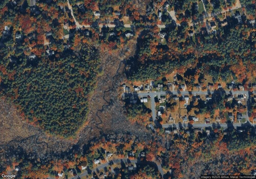
Map
Nearby Homes
- 47 Harold Parker Rd
- 2 Pipers Glen
- 156 North St
- 30 Colonial Dr Unit 5A
- 12 Magnolia St
- 11 Cogswell Rd
- 5 Greenbriar Dr Unit 107
- 3 Greenbriar Dr Unit 106
- 3 Greenbriar Dr Unit 303
- 2 Greenbriar Dr Unit 205
- 1 Greenbriar Dr Unit 303
- 5 Palomino Dr
- 3 Pinecrest Rd
- 12 Parkview Terrace
- 177 Haverhill St
- 18 Duane Dr
- 320 Martins Landing Unit 401
- 320 Martins Landing Unit 310
- 320 Martins Landing Unit 211
- 320 Martins Landing Unit 2410
Your Personal Tour Guide
Ask me questions while you tour the home.