Estimated Value: $246,189 - $333,000
--
Bed
--
Bath
--
Sq Ft
2.2
Acres
About This Home
This home is located at 43 Austin Rd, Leeds, ME 04263 and is currently estimated at $277,297. 43 Austin Rd is a home with nearby schools including Tripp Middle School and Leavitt Area High School.
Ownership History
Date
Name
Owned For
Owner Type
Purchase Details
Closed on
Apr 2, 2021
Sold by
Nota Bridget A
Bought by
Nota Bridget A and Nota Scott
Current Estimated Value
Home Financials for this Owner
Home Financials are based on the most recent Mortgage that was taken out on this home.
Original Mortgage
$119,526
Interest Rate
6.73%
Mortgage Type
Purchase Money Mortgage
Purchase Details
Closed on
Feb 5, 2008
Sold by
Gary Caron Constr Inc
Bought by
Nota Bridget A and Quinn-Trexler Katherine M
Home Financials for this Owner
Home Financials are based on the most recent Mortgage that was taken out on this home.
Original Mortgage
$144,495
Interest Rate
6.18%
Mortgage Type
FHA
Create a Home Valuation Report for This Property
The Home Valuation Report is an in-depth analysis detailing your home's value as well as a comparison with similar homes in the area
Home Values in the Area
Average Home Value in this Area
Purchase History
| Date | Buyer | Sale Price | Title Company |
|---|---|---|---|
| Nota Bridget A | -- | None Available | |
| Nota Bridget A | -- | None Available | |
| Nota Bridget A | -- | -- |
Source: Public Records
Mortgage History
| Date | Status | Borrower | Loan Amount |
|---|---|---|---|
| Previous Owner | Nota Bridget A | $119,526 | |
| Previous Owner | Nota Bridget A | $146,143 | |
| Previous Owner | Nota Bridget A | $144,495 |
Source: Public Records
Tax History Compared to Growth
Tax History
| Year | Tax Paid | Tax Assessment Tax Assessment Total Assessment is a certain percentage of the fair market value that is determined by local assessors to be the total taxable value of land and additions on the property. | Land | Improvement |
|---|---|---|---|---|
| 2024 | $2,450 | $198,400 | $58,700 | $139,700 |
| 2023 | $2,391 | $198,400 | $58,700 | $139,700 |
| 2022 | $2,098 | $113,400 | $32,800 | $80,600 |
| 2021 | $2,098 | $113,400 | $32,800 | $80,600 |
| 2020 | $2,158 | $113,400 | $32,800 | $80,600 |
| 2019 | $2,075 | $113,400 | $32,800 | $80,600 |
| 2018 | $2,019 | $113,400 | $32,800 | $80,600 |
| 2017 | $2,019 | $113,400 | $32,800 | $80,600 |
| 2016 | $1,933 | $113,400 | $32,800 | $80,600 |
| 2015 | $1,854 | $113,400 | $32,800 | $80,600 |
| 2014 | $1,792 | $113,400 | $32,800 | $80,600 |
| 2013 | $1,792 | $113,400 | $32,800 | $80,600 |
Source: Public Records
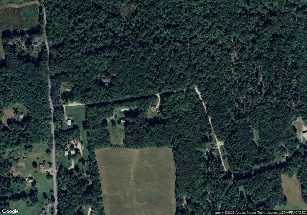
Map
Nearby Homes
- 591 North Rd
- 24 Fortin Dr
- 62 Anderson Dr
- 56 Anderson Dr
- 58-1 North Rd
- Lot 5-D Drewry Dr
- Lot 26C Jennings Rd
- 156 Lakeshore Dr
- 27 Mountain View Rd
- 1977 Route 106
- 46 Appleseed Dr
- 77 Appleseed Dr
- 574 Howes Corner Rd
- 316 Hardscrabble Rd
- 16 Davis Point Rd
- 306 Campbell Rd
- 497 N Parish Rd
- 454 N Parish Rd
- 528 N Parish Rd
- 987 Upper St