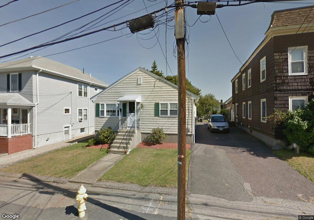
43 Baker St Belmont, MA 02478
Belmont Center NeighborhoodEstimated Value: $1,127,000 - $1,341,000
3
Beds
3
Baths
1,160
Sq Ft
$1,046/Sq Ft
Est. Value
About This Home
This home is located at 43 Baker St, Belmont, MA 02478 and is currently estimated at $1,212,865, approximately $1,045 per square foot. 43 Baker St is a home located in Middlesex County with nearby schools including Mary Lee Burbank Elementary School, Winthrop L Chenery Middle School, and Belmont High School.
Ownership History
Date
Name
Owned For
Owner Type
Purchase Details
Closed on
Jan 25, 2019
Sold by
Pecora Ft
Bought by
Scearbo Nancy J and Chilko Kathryn M
Current Estimated Value
Purchase Details
Closed on
Feb 13, 2018
Sold by
Scearbo Nancy J and Pecora Ralph A
Bought by
Pecora Ft
Purchase Details
Closed on
Mar 30, 2007
Sold by
Ralph&Joanna Pecora Re and Pecora Joanna
Bought by
Pecora Ft and Pecora Joanna
Create a Home Valuation Report for This Property
The Home Valuation Report is an in-depth analysis detailing your home's value as well as a comparison with similar homes in the area
Home Values in the Area
Average Home Value in this Area
Purchase History
| Date | Buyer | Sale Price | Title Company |
|---|---|---|---|
| Scearbo Nancy J | -- | -- | |
| Pecora Ft | -- | -- | |
| Pecora Ralph A | -- | -- | |
| Pecora Ft | -- | -- |
Source: Public Records
Tax History Compared to Growth
Tax History
| Year | Tax Paid | Tax Assessment Tax Assessment Total Assessment is a certain percentage of the fair market value that is determined by local assessors to be the total taxable value of land and additions on the property. | Land | Improvement |
|---|---|---|---|---|
| 2025 | $11,060 | $971,000 | $793,000 | $178,000 |
| 2024 | $9,831 | $931,000 | $791,000 | $140,000 |
| 2023 | $10,341 | $920,000 | $793,000 | $127,000 |
| 2022 | $9,271 | $802,000 | $683,000 | $119,000 |
| 2021 | $11,367 | $985,000 | $887,000 | $98,000 |
| 2020 | $8,877 | $807,000 | $710,000 | $97,000 |
| 2019 | $7,037 | $603,000 | $465,000 | $138,000 |
| 2018 | $6,512 | $536,000 | $398,000 | $138,000 |
| 2017 | $6,383 | $503,000 | $365,000 | $138,000 |
| 2016 | $6,192 | $493,000 | $356,000 | $137,000 |
| 2015 | $5,857 | $454,000 | $317,000 | $137,000 |
Source: Public Records
Map
Nearby Homes
- 48 Hamilton Rd
- 46 Hamilton Rd
- 73 Trowbridge St Unit 73A
- 73 Trowbridge St Unit 73B
- 15 Sunset Rd
- 48 Concord Ave
- 4 Merrill Ave
- 93 Griswold St Unit 93
- 55 S Normandy Ave
- 95 Griswold St Unit 95
- 23 Loomis St Unit 23
- 118 Blanchard Rd
- 63 Loomis St Unit 63
- 105 Watson Rd
- 248 School St
- 38 Myrtle St
- 1 Spinney Terrace
- 66 Channing Rd
- 242 Claflin St
- 200 Claflin St
- 47 Baker St Unit 49
- 35 Baker St
- 50 Hamilton Rd
- 40 Baker St Unit 42
- 54 Hamilton Rd Unit 56
- 38 Hamilton Rd
- 55 Baker St Unit 57
- 44 Baker St Unit 44
- 44 Baker St
- 44 Baker St
- 44 Baker St Unit St
- 44 Baker St Unit SF
- 50 Baker St
- 31 Baker St
- 29 Baker St Unit 31
- 42 Hamilton Rd Unit 44
- 34 Hamilton Rd
- 60 Hamilton Rd
- 46 Baker St
- 36 Baker St