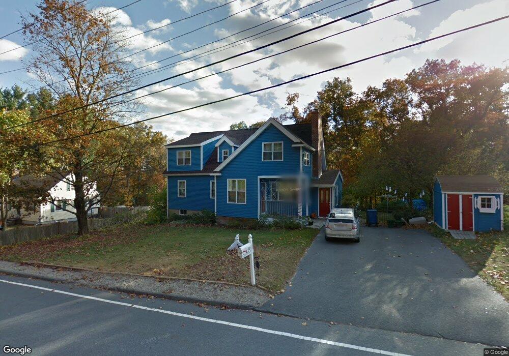
43 Beaverbrook Rd Burlington, MA 01803
North Burlington NeighborhoodEstimated Value: $879,504 - $1,071,000
5
Beds
3
Baths
2,209
Sq Ft
$428/Sq Ft
Est. Value
About This Home
This home is located at 43 Beaverbrook Rd, Burlington, MA 01803 and is currently estimated at $945,376, approximately $427 per square foot. 43 Beaverbrook Rd is a home located in Middlesex County with nearby schools including Burlington High School, Fox Hill, and Marshall Simonds Middle School.
Ownership History
Date
Name
Owned For
Owner Type
Purchase Details
Closed on
Jul 20, 1999
Sold by
Dibacco Michael S and Dibacco June M
Bought by
Mcininch James D
Current Estimated Value
Home Financials for this Owner
Home Financials are based on the most recent Mortgage that was taken out on this home.
Original Mortgage
$213,750
Outstanding Balance
$59,069
Interest Rate
7.39%
Mortgage Type
Purchase Money Mortgage
Estimated Equity
$886,307
Purchase Details
Closed on
Jan 4, 1991
Sold by
Murphy Paul F and Murphy Donna M
Bought by
Dibacco Michael S and Dibacco June M
Home Financials for this Owner
Home Financials are based on the most recent Mortgage that was taken out on this home.
Original Mortgage
$144,000
Interest Rate
9.83%
Mortgage Type
Purchase Money Mortgage
Create a Home Valuation Report for This Property
The Home Valuation Report is an in-depth analysis detailing your home's value as well as a comparison with similar homes in the area
Home Values in the Area
Average Home Value in this Area
Purchase History
| Date | Buyer | Sale Price | Title Company |
|---|---|---|---|
| Mcininch James D | $225,000 | -- | |
| Dibacco Michael S | $180,000 | -- |
Source: Public Records
Mortgage History
| Date | Status | Borrower | Loan Amount |
|---|---|---|---|
| Open | Mcininch James D | $213,750 | |
| Previous Owner | Mcininch James D | $136,000 | |
| Previous Owner | Dibacco Michael S | $144,000 |
Source: Public Records
Tax History Compared to Growth
Tax History
| Year | Tax Paid | Tax Assessment Tax Assessment Total Assessment is a certain percentage of the fair market value that is determined by local assessors to be the total taxable value of land and additions on the property. | Land | Improvement |
|---|---|---|---|---|
| 2025 | $6,435 | $743,100 | $425,000 | $318,100 |
| 2024 | $6,480 | $724,800 | $403,000 | $321,800 |
| 2023 | $6,257 | $665,600 | $350,000 | $315,600 |
| 2022 | $6,036 | $606,600 | $319,000 | $287,600 |
| 2021 | $0 | $577,600 | $290,000 | $287,600 |
| 2020 | $0 | $577,600 | $290,000 | $287,600 |
| 2019 | $5,423 | $517,500 | $271,000 | $246,500 |
| 2018 | $5,197 | $489,400 | $258,000 | $231,400 |
| 2017 | $5,114 | $489,400 | $258,000 | $231,400 |
| 2016 | $5,070 | $442,400 | $220,000 | $222,400 |
| 2015 | $5,021 | $442,400 | $220,000 | $222,400 |
| 2014 | $4,931 | $410,900 | $200,000 | $210,900 |
Source: Public Records
Map
Nearby Homes
- 9 Upland Rd
- 29 Beaverbrook Rd
- 25 Sarah St
- 2 Cutting Ln
- 1 Harvard Ave
- 2 Stephanie St
- 10 Lisa St
- 20 Alma Rd
- 38 Freeport Dr
- 94 Pinedale Ave
- 345 Cambridge St
- 12 Murray Ave Unit 18
- 10 Murray Ave Unit 15
- 3 County Rd
- 22 Ledgewood Dr
- 20 Lantern Ln
- 6 Arthur Woods Ave
- 25 Green Meadow Dr
- 0 Bedford St
- 2 Winston Ave
- 45 Beaverbrook Rd
- 41 Beaverbrook Rd
- 5 Boulder Dr
- 47 Beaverbrook Rd
- 7 Boulder Dr
- 39 Beaverbrook Rd
- 3 Boulder Dr
- 42 Beaverbrook Rd
- 40 Beaverbrook Rd
- 9 Boulder Dr
- 44 Beaverbrook Rd
- 1 Boulder Dr
- 49 Beaverbrook Rd
- 38 Beaverbrook Rd
- 38 Beaverbrook Rd Unit 1
- 11 Boulder Dr
- 46 Beaverbrook Rd
- 37 Beaverbrook Rd
- 27 Blackhorse Ln
- 51 Beaverbrook Rd