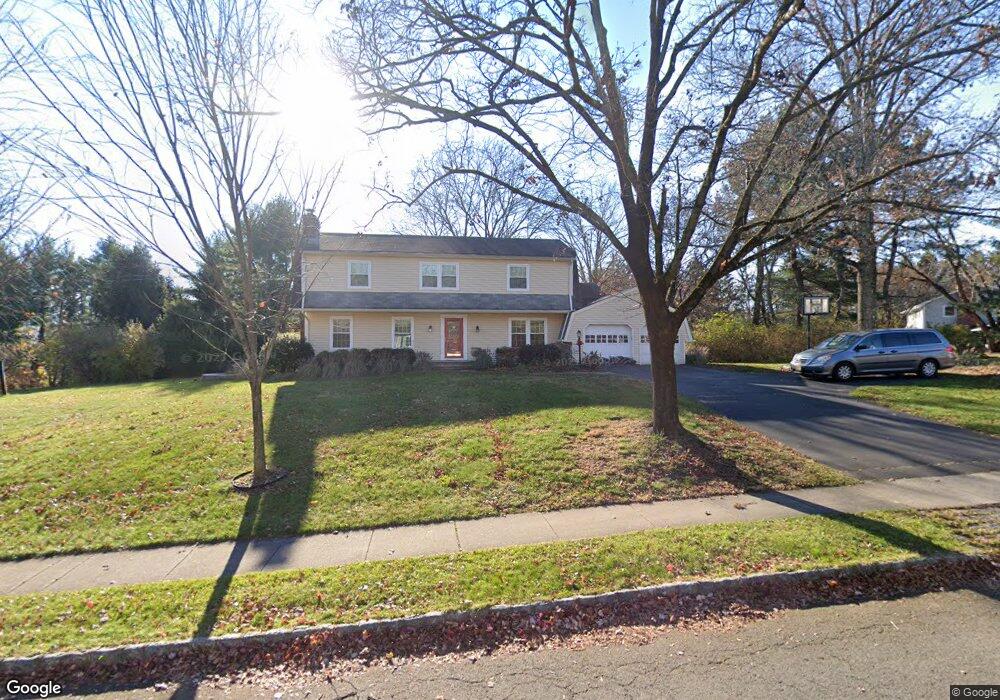
43 Bertrand Dr Princeton, NJ 08540
Estimated Value: $1,362,251 - $1,671,000
--
Bed
--
Bath
2,805
Sq Ft
$538/Sq Ft
Est. Value
About This Home
This home is located at 43 Bertrand Dr, Princeton, NJ 08540 and is currently estimated at $1,510,313, approximately $538 per square foot. 43 Bertrand Dr is a home located in Mercer County with nearby schools including Littlebrook Elementary School, Princeton Middle School, and Princeton High School.
Ownership History
Date
Name
Owned For
Owner Type
Purchase Details
Closed on
Aug 4, 2023
Sold by
Blizzard Timothy A
Bought by
Blizzard Timothy A
Current Estimated Value
Purchase Details
Closed on
Jun 22, 2004
Sold by
Gensib Carl
Bought by
Blizzard Timothy and Elgass Lynn
Home Financials for this Owner
Home Financials are based on the most recent Mortgage that was taken out on this home.
Original Mortgage
$315,000
Interest Rate
6.32%
Purchase Details
Closed on
Aug 20, 1999
Sold by
Princeton University
Bought by
Jedrusiak Joann
Create a Home Valuation Report for This Property
The Home Valuation Report is an in-depth analysis detailing your home's value as well as a comparison with similar homes in the area
Home Values in the Area
Average Home Value in this Area
Purchase History
| Date | Buyer | Sale Price | Title Company |
|---|---|---|---|
| Blizzard Timothy A | -- | First American Title Insurance | |
| Blizzard Timothy A | -- | First American Title Insurance | |
| Blizzard Timothy | $750,000 | -- | |
| Jedrusiak Joann | $530,000 | -- |
Source: Public Records
Mortgage History
| Date | Status | Borrower | Loan Amount |
|---|---|---|---|
| Previous Owner | Blizzard Timothy | $315,000 |
Source: Public Records
Tax History Compared to Growth
Tax History
| Year | Tax Paid | Tax Assessment Tax Assessment Total Assessment is a certain percentage of the fair market value that is determined by local assessors to be the total taxable value of land and additions on the property. | Land | Improvement |
|---|---|---|---|---|
| 2025 | $20,313 | $767,500 | $512,000 | $255,500 |
| 2024 | $19,177 | $762,800 | $512,000 | $250,800 |
| 2023 | $19,177 | $762,800 | $512,000 | $250,800 |
| 2022 | $18,551 | $762,800 | $512,000 | $250,800 |
| 2021 | $18,605 | $762,800 | $512,000 | $250,800 |
| 2020 | $18,460 | $762,800 | $512,000 | $250,800 |
| 2019 | $18,094 | $762,800 | $512,000 | $250,800 |
| 2018 | $17,714 | $759,600 | $512,000 | $247,600 |
| 2017 | $17,471 | $759,600 | $512,000 | $247,600 |
| 2016 | $17,197 | $759,600 | $512,000 | $247,600 |
| 2015 | $16,802 | $759,600 | $512,000 | $247,600 |
| 2014 | $16,597 | $759,600 | $512,000 | $247,600 |
Source: Public Records
Map
Nearby Homes
- 119 Poe Rd
- 231 Bertrand Dr
- 32 Gulick Rd
- 50 Broadripple Dr
- 1082 Kingston Rd
- 1082 Princeton Kingston Rd
- 150 Leabrook Ln
- 67 Locust Ln
- 569 Riverside Dr
- 567 Riverside Dr
- 8 Governors Ln
- 75 Clover Ln
- 201 Grover Ave
- 532 Kingston Rd
- 36 Needham Way Unit D
- 36 -D Needham Way
- 8B Brookline Ct
- 8 -B Brookline Ct Unit B
- 19G Evert Ct
- 380 Franklin Ave