43 Black Point Ln Manchester, ME 04351
Estimated Value: $423,000 - $1,713,978
5
Beds
4
Baths
1,292
Sq Ft
$730/Sq Ft
Est. Value
About This Home
This home is located at 43 Black Point Ln, Manchester, ME 04351 and is currently estimated at $943,326, approximately $730 per square foot. 43 Black Point Ln is a home.
Ownership History
Date
Name
Owned For
Owner Type
Purchase Details
Closed on
May 28, 2019
Sold by
Mccarthy Charles
Bought by
Spencer Robin and Spencer Theresa
Current Estimated Value
Home Financials for this Owner
Home Financials are based on the most recent Mortgage that was taken out on this home.
Original Mortgage
$1,000,000
Outstanding Balance
$875,582
Interest Rate
4.1%
Mortgage Type
Purchase Money Mortgage
Estimated Equity
$67,744
Create a Home Valuation Report for This Property
The Home Valuation Report is an in-depth analysis detailing your home's value as well as a comparison with similar homes in the area
Home Values in the Area
Average Home Value in this Area
Purchase History
| Date | Buyer | Sale Price | Title Company |
|---|---|---|---|
| Spencer Robin | -- | -- | |
| Spencer Robin | -- | -- | |
| Spencer Robin | -- | -- |
Source: Public Records
Mortgage History
| Date | Status | Borrower | Loan Amount |
|---|---|---|---|
| Open | Spencer Robin | $1,000,000 | |
| Closed | Spencer Robin | $1,000,000 |
Source: Public Records
Tax History Compared to Growth
Tax History
| Year | Tax Paid | Tax Assessment Tax Assessment Total Assessment is a certain percentage of the fair market value that is determined by local assessors to be the total taxable value of land and additions on the property. | Land | Improvement |
|---|---|---|---|---|
| 2024 | $19,942 | $1,201,300 | $799,800 | $401,500 |
| 2023 | $19,616 | $1,181,700 | $799,800 | $381,900 |
| 2022 | $19,002 | $1,206,500 | $799,800 | $406,700 |
| 2021 | $19,304 | $1,206,500 | $799,800 | $406,700 |
| 2020 | $21,114 | $1,206,500 | $799,800 | $406,700 |
| 2019 | $21,234 | $1,206,500 | $799,800 | $406,700 |
| 2018 | $20,933 | $1,206,500 | $799,800 | $406,700 |
| 2017 | $20,390 | $1,206,500 | $799,800 | $406,700 |
| 2016 | $19,787 | $1,206,500 | $799,800 | $406,700 |
| 2015 | $19,244 | $1,206,500 | $799,800 | $406,700 |
| 2013 | $18,037 | $1,206,500 | $799,800 | $406,700 |
Source: Public Records
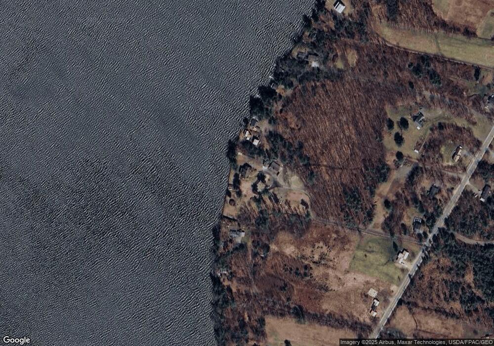
Map
Nearby Homes
- 226 Pond Rd
- Lot 55 S Birchwood Ln
- 2549 US Route 202
- 43 Estates Dr Unit 1
- 35 Estates Dr Unit 3
- 0 Cross St
- 0 Ingraham St
- 26 Peggy Ln
- 693- B Western Ave
- 616 Stanley Rd
- 183 Loon Cove Ln
- 8 Horseshoe Rd
- 424 Winthrop St
- M3 L9 Winthrop Center Rd
- Map7Lot2A Caldwell Rd
- Map7Lot2B Caldwell Rd
- 90 Bearce Rd
- 0 Allen Hill Ln
- 333 Stanley Rd
- 11 Sunrise Dr
- 44 Black Point Ln
- 61 Lighthouse Ln
- 43 Fairview Farm Rd
- 42 Fairview Farm Rd
- 53 Lighthouse Ln
- 30 Fairview Farm Rd
- 47 Lighthouse Ln
- 45 Lighthouse Ln
- 41 Lighthouse Ln
- 57 Lighthouse Ln
- 32 Milliken Ln
- 407 Pond Rd
- 385 Pond Rd
- 399 Pond Rd
- 369 Pond Rd
- 377 Pond Rd
- 421 Pond Rd
- 45 Milliken Ln
- 12 Lighthouse Ln
- 359 Pond Rd