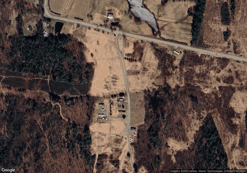
43 Blaisdell Ln Benton, ME 04901
4
Beds
2
Baths
2,488
Sq Ft
3.1
Acres
About This Home
This home is located at 43 Blaisdell Ln, Benton, ME 04901. 43 Blaisdell Ln is a home located in Kennebec County with nearby schools including Lawrence High School.
Ownership History
Date
Name
Owned For
Owner Type
Purchase Details
Closed on
Nov 27, 2018
Sold by
Brickett Joyce and Brickett Carl E
Bought by
Blaisdell Douglas A and Blaisdell Susan L
Purchase Details
Closed on
Oct 25, 2018
Sold by
Hsbc Bank Usa Na Tr
Bought by
Brickett Joyce and Brickett Carl E
Purchase Details
Closed on
Oct 1, 2018
Sold by
Blaisdell Douglas A and Blaisdell Susan L
Bought by
Brickett Joyce and Brickett Carl E
Purchase Details
Closed on
Dec 15, 2010
Sold by
Hsbc Bank Usa Na
Bought by
Brickett Carl E and Brickett Joyce
Purchase Details
Closed on
May 13, 2010
Sold by
Gurney Stephen D
Bought by
Wells Fargo Bank Na
Create a Home Valuation Report for This Property
The Home Valuation Report is an in-depth analysis detailing your home's value as well as a comparison with similar homes in the area
Home Values in the Area
Average Home Value in this Area
Purchase History
| Date | Buyer | Sale Price | Title Company |
|---|---|---|---|
| Blaisdell Douglas A | -- | -- | |
| Central Maine Power Co | -- | -- | |
| Brickett Joyce | $86,900 | -- | |
| Brickett Joyce | -- | -- | |
| Brickett Carl E | -- | -- | |
| Wells Fargo Bank Na | -- | -- |
Source: Public Records
Tax History Compared to Growth
Tax History
| Year | Tax Paid | Tax Assessment Tax Assessment Total Assessment is a certain percentage of the fair market value that is determined by local assessors to be the total taxable value of land and additions on the property. | Land | Improvement |
|---|---|---|---|---|
| 2024 | $314 | $21,630 | $21,630 | $0 |
| 2023 | $279 | $21,630 | $21,630 | $0 |
| 2022 | $281 | $21,630 | $21,630 | $0 |
| 2021 | $343 | $19,280 | $19,280 | $0 |
| 2020 | $303 | $19,280 | $19,280 | $0 |
| 2019 | $291 | $19,280 | $19,280 | $0 |
| 2018 | $1,752 | $119,980 | $19,280 | $100,700 |
| 2017 | $1,728 | $119,980 | $19,280 | $100,700 |
| 2016 | $1,644 | $119,980 | $19,280 | $100,700 |
| 2015 | $1,620 | $119,980 | $19,280 | $100,700 |
| 2014 | $1,632 | $119,980 | $19,280 | $100,700 |
| 2013 | $1,572 | $119,980 | $19,280 | $100,700 |
Source: Public Records
Map
Nearby Homes
- 187 Richards Rd
- 854 Abbott Rd
- 151 Bangor Rd
- 4 Willis Rd
- 237 Neck Rd
- 987 Clinton Ave
- 0 Hanscom Rd
- 843 E Benton Rd
- 436 N Pond Rd
- 199 Neck Rd
- 186 Clark Rd
- 595 Bangor Rd
- 61 Pond Rd
- 256 E Benton Rd
- Lot 063 N Pond Rd
- 248 Bellsqueeze Rd
- 246 Bellsqueeze Rd
- 501 Clinton Ave
- 360 Nowell Rd
- 2 and 3 Blue Heron Ln
