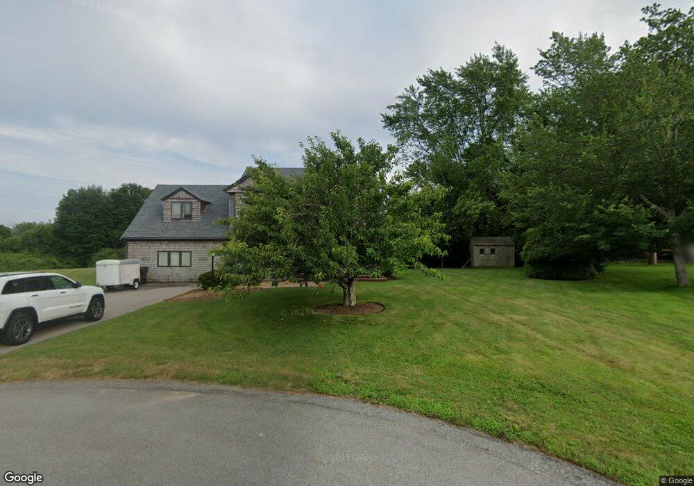
43 Bleu Ln Portsmouth, RI 02871
South Portsmouth NeighborhoodEstimated Value: $961,141 - $1,660,000
3
Beds
3
Baths
1,800
Sq Ft
$700/Sq Ft
Est. Value
About This Home
This home is located at 43 Bleu Ln, Portsmouth, RI 02871 and is currently estimated at $1,259,285, approximately $699 per square foot. 43 Bleu Ln is a home located in Newport County with nearby schools including Portsmouth High School and The Pennfield School.
Ownership History
Date
Name
Owned For
Owner Type
Purchase Details
Closed on
Jun 14, 2023
Sold by
Chamard Thomas G and Chamard Amy M
Bought by
Amy M Chamard Ret and Chamard
Current Estimated Value
Purchase Details
Closed on
Nov 4, 2011
Sold by
Chamard Thomas G
Bought by
Chamard Thomas G and Chamard Amy M
Home Financials for this Owner
Home Financials are based on the most recent Mortgage that was taken out on this home.
Original Mortgage
$255,000
Interest Rate
4.08%
Mortgage Type
Purchase Money Mortgage
Purchase Details
Closed on
Jun 3, 1996
Sold by
Gorton Harvey Inc
Bought by
Chamard Thomas G and Chamard Amy
Home Financials for this Owner
Home Financials are based on the most recent Mortgage that was taken out on this home.
Original Mortgage
$150,000
Interest Rate
7.91%
Mortgage Type
Purchase Money Mortgage
Create a Home Valuation Report for This Property
The Home Valuation Report is an in-depth analysis detailing your home's value as well as a comparison with similar homes in the area
Home Values in the Area
Average Home Value in this Area
Purchase History
| Date | Buyer | Sale Price | Title Company |
|---|---|---|---|
| Amy M Chamard Ret | -- | None Available | |
| Chamard Thomas G | -- | -- | |
| Chamard Thomas G | $212,000 | -- |
Source: Public Records
Mortgage History
| Date | Status | Borrower | Loan Amount |
|---|---|---|---|
| Previous Owner | Chamard Thomas G | $255,000 | |
| Previous Owner | Chamard Thomas G | $215,000 | |
| Previous Owner | Chamard Thomas G | $17,000 | |
| Previous Owner | Chamard Thomas G | $150,000 |
Source: Public Records
Tax History Compared to Growth
Tax History
| Year | Tax Paid | Tax Assessment Tax Assessment Total Assessment is a certain percentage of the fair market value that is determined by local assessors to be the total taxable value of land and additions on the property. | Land | Improvement |
|---|---|---|---|---|
| 2025 | $8,396 | $632,200 | $225,900 | $406,300 |
| 2024 | $8,332 | $632,200 | $225,900 | $406,300 |
| 2023 | $8,080 | $632,200 | $225,900 | $406,300 |
| 2022 | $7,799 | $501,200 | $197,000 | $304,200 |
| 2021 | $7,673 | $501,200 | $197,000 | $304,200 |
| 2020 | $7,553 | $501,200 | $197,000 | $304,200 |
| 2019 | $7,360 | $448,800 | $145,500 | $303,300 |
| 2018 | $7,167 | $448,800 | $145,500 | $303,300 |
| 2017 | $6,920 | $448,800 | $145,500 | $303,300 |
| 2016 | $6,867 | $429,200 | $154,100 | $275,100 |
| 2015 | $6,781 | $429,200 | $154,100 | $275,100 |
| 2014 | $6,781 | $429,200 | $154,100 | $275,100 |
Source: Public Records
Map
Nearby Homes
- 362 Bramans Ln
- 92 Harvest Dr
- 134 E Main Rd
- 0 Coggeshall Way
- 50 Eastover & Lot Rd
- 230 Briarwood Ln
- 481 Oliphant Ln
- 180 Cottontail Dr
- 0 Indian Ave
- 63 Clearview Ave
- 836 Forest Park
- 841 Forest Park
- 533 Forest Park
- 78 Cornelius Dr
- 529 Forest Park
- 521 Forest Park
- 105 Heidi Dr
- 10 Bartlett Rd
- 125 Heidi Dr
- 215 Harris Ave