43 Bridge Ln Grantham, NH 03753
Grantham AreaEstimated Value: $383,000 - $472,000
About This Home
This home is located at 43 Bridge Ln, Grantham, NH 03753 and is currently estimated at $430,362, approximately $327 per square foot. 43 Bridge Ln is a home with nearby schools including Grantham Village School and Lebanon High School.
Ownership History
We collect this data history from publicly available records. To have your information removed, we recommend requesting removal directly through your county’s website.
Purchase Details
Home Values in the Area
Average Home Value in this Area
Purchase History
We collect this data history from publicly available records. To have your information removed, we recommend requesting removal directly through your county’s website.
| Date | Buyer | Sale Price | Title Company |
|---|---|---|---|
| $106,000 | -- |
Mortgage History
We collect this data history from publicly available records. To have your information removed, we recommend requesting removal directly through your county’s website.
| Date | Status | Borrower | Loan Amount |
|---|---|---|---|
| Open | $140,000 |
Tax History
We collect this data history from publicly available records. To have your information removed, we recommend requesting removal directly through your county’s website.
| Year | Tax Paid | Tax Assessment Tax Assessment Total Assessment is a certain percentage of the fair market value that is determined by local assessors to be the total taxable value of land and additions on the property. | Land | Improvement |
|---|---|---|---|---|
| 2025 | $6,885 | $311,100 | $72,000 | $239,100 |
| 2024 | $6,101 | $311,100 | $72,000 | $239,100 |
| 2023 | $5,472 | $311,100 | $72,000 | $239,100 |
| 2022 | $5,114 | $311,100 | $72,000 | $239,100 |
| 2021 | $5,398 | $235,500 | $81,400 | $154,100 |
| 2020 | $5,525 | $235,500 | $81,400 | $154,100 |
| 2019 | $4,699 | $181,700 | $50,000 | $131,700 |
| 2018 | $4,741 | $181,700 | $50,000 | $131,700 |
| 2017 | $4,310 | $181,700 | $50,000 | $131,700 |
| 2016 | $4,332 | $181,700 | $50,000 | $131,700 |
| 2015 | $4,383 | $181,700 | $50,000 | $131,700 |
| 2014 | $4,180 | $187,700 | $63,400 | $124,300 |
| 2013 | $4,024 | $187,700 | $63,400 | $124,300 |
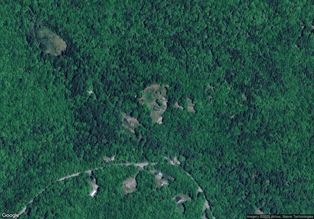
Map
- 1766 Route 10 N
- 295 Frye Ln
- 00 Route 10 N
- 0 Tall Timber Dr Unit 441
- 23 High Pond Rd
- 224 Walker Rd
- 12 Old Spring Dr
- 991 Route 10 N
- 0 New Aldrich Rd Unit 1
- 820 Covered Bridge Ln
- 14 Oak Ln
- 841 Cove Dr
- 637 Marmot Ln
- 5 Bay Tree Ln
- 14 Bay Tree Ln
- 0 Rawson Ridge Unit 6
- 2 Turner Brae
- 2 Draper Mill Rd
- 15 Sunset Walk
- 12 Fernwood Ln
- 0 Bridge Ln
- 35 Bridge Ln
- 44 Bridge Ln
- 442 Miller Pond Rd
- 37 Bridge Ln
- 508 Miller Pond Rd
- 473 Miller Pond Rd
- 475 Miller Pond Rd
- 415 Miller Pond Rd
- 517 Miller Pond Rd
- 401 Miller Pond Rd
- 581 Miller Pond Rd
- 605 Miller Pond Rd
- 333 Miller Pond Rd
- 330 Miller Pond Rd
- 00 Miller Pond Rd
- 521 Miller Pond Rd
- 639 Miller Pond Rd
- 0 Leavitt Hill Rd
- 301 Miller Pond Rd
Ask me questions while you tour the home.