Estimated Value: $360,000 - $493,000
--
Bed
1
Bath
--
Sq Ft
0.7
Acres
About This Home
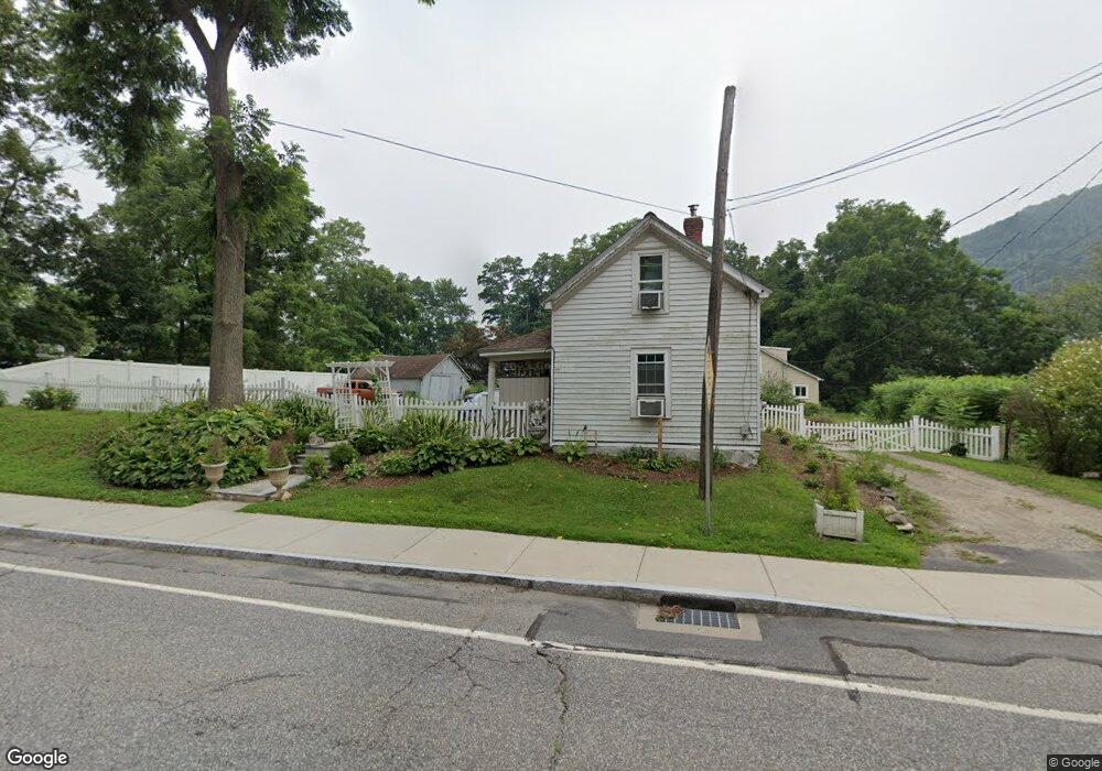
This home is located at 43 Bridge St, Kent, CT 06757 and is currently estimated at $422,625. 43 Bridge St is a home located in Litchfield County with nearby schools including Kent Center School, Housatonic Valley Regional High School, and Kent School.
Ownership History
Date
Name
Owned For
Owner Type
Purchase Details
Closed on
Feb 5, 2022
Sold by
Chase Rodney A
Bought by
Chase Rodney A and Chase Baya
Current Estimated Value
Home Financials for this Owner
Home Financials are based on the most recent Mortgage that was taken out on this home.
Original Mortgage
$254,000
Interest Rate
3.55%
Mortgage Type
Stand Alone Refi Refinance Of Original Loan
Create a Home Valuation Report for This Property
The Home Valuation Report is an in-depth analysis detailing your home's value as well as a comparison with similar homes in the area
Home Values in the Area
Average Home Value in this Area
Purchase History
| Date | Buyer | Sale Price | Title Company |
|---|---|---|---|
| Chase Rodney A | -- | Servicelink | |
| Chase Rodney A | -- | None Available |
Source: Public Records
Mortgage History
| Date | Status | Borrower | Loan Amount |
|---|---|---|---|
| Previous Owner | Chase Rodney A | $254,000 |
Source: Public Records
Tax History Compared to Growth
Tax History
| Year | Tax Paid | Tax Assessment Tax Assessment Total Assessment is a certain percentage of the fair market value that is determined by local assessors to be the total taxable value of land and additions on the property. | Land | Improvement |
|---|---|---|---|---|
| 2025 | $3,802 | $225,400 | $60,900 | $164,500 |
| 2024 | $3,514 | $225,400 | $60,900 | $164,500 |
| 2023 | $2,910 | $155,100 | $63,700 | $91,400 |
| 2022 | $2,875 | $154,800 | $63,700 | $91,100 |
| 2021 | $2,875 | $154,800 | $63,700 | $91,100 |
| 2020 | $2,881 | $154,800 | $63,700 | $91,100 |
| 2019 | $2,881 | $154,800 | $63,700 | $91,100 |
| 2018 | $2,810 | $151,000 | $63,000 | $88,000 |
| 2017 | $2,847 | $153,000 | $63,000 | $90,000 |
| 2016 | $2,804 | $153,000 | $63,000 | $90,000 |
| 2015 | $2,733 | $153,000 | $63,000 | $90,000 |
| 2014 | $2,606 | $153,000 | $63,000 | $90,000 |
Source: Public Records
Map
Nearby Homes
- 168 Cobble Rd
- 13 Cobble Heights Rd
- 132 S Kent Rd
- 0 Spooner Hill Rd Unit 24077524
- 591 Bog Hollow Rd
- 308 Skiff Mountain Rd
- 0 Richards Rd Unit 24140078
- 23 Mauwee Brook Rd
- 103 Geer Mountain Rd
- 0 Gorham Rd Unit 24138133
- 39 Treasure Hill Rd
- 00 Camps Flat Rd
- 0 Mount Mauwee Rd
- 221 Fuller Mountain Rd
- 5 Weantinogue Ln
- 441 Segar Mountain Rd
- 00 Old Homestead Ln
- 11 Old Paddock Ln
- 0 Stonewall Unit 39
- 73 Upper Kent Hollow Rd
- 44 Elizabeth St
- 44 Elizabeth St Unit B
- 44 Elizabeth St Unit A
- 44 Elizabeth St Unit D
- 44 Elizabeth St Unit C
- 44 Elizabeth St Unit 1A
- 4 Bluff Rd
- 40 Bridge St
- 40 Bridge St Unit b
- 40 Bridge St Unit A
- 6 Bluff Rd
- 14 Locust Ln
- 30 Elizabeth St
- 42 Elizabeth St
- 8 Bluff Rd
- 8 Bluff Rd Unit B
- 26 Elizabeth St
- 8 Locust Ln
- 46 Elizabeth St
- 24 Elizabeth St