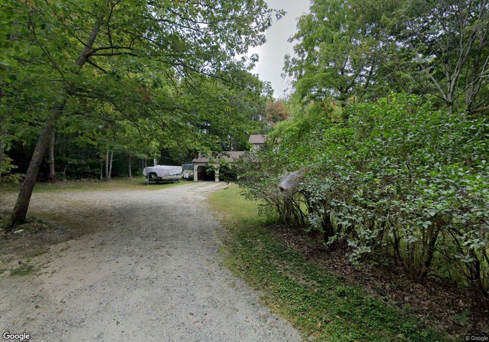
43 Bryant Rd New Gloucester, ME 04260
Estimated Value: $422,997 - $526,000
3
Beds
2
Baths
1,120
Sq Ft
$406/Sq Ft
Est. Value
About This Home
This home is located at 43 Bryant Rd, New Gloucester, ME 04260 and is currently estimated at $454,999, approximately $406 per square foot. 43 Bryant Rd is a home located in Cumberland County with nearby schools including Gray-New Gloucester High School and Spurwink School - Auburn.
Ownership History
Date
Name
Owned For
Owner Type
Purchase Details
Closed on
Apr 20, 2005
Sold by
Andrews Philip N and Andrews Doris L
Bought by
Cantrell Chris V and Cantrell Vicki
Current Estimated Value
Home Financials for this Owner
Home Financials are based on the most recent Mortgage that was taken out on this home.
Original Mortgage
$140,000
Outstanding Balance
$71,721
Interest Rate
5.87%
Mortgage Type
Purchase Money Mortgage
Estimated Equity
$383,278
Create a Home Valuation Report for This Property
The Home Valuation Report is an in-depth analysis detailing your home's value as well as a comparison with similar homes in the area
Home Values in the Area
Average Home Value in this Area
Purchase History
| Date | Buyer | Sale Price | Title Company |
|---|---|---|---|
| Cantrell Chris V | -- | -- |
Source: Public Records
Mortgage History
| Date | Status | Borrower | Loan Amount |
|---|---|---|---|
| Open | Cantrell Chris V | $140,000 | |
| Closed | Cantrell Chris V | $25,000 |
Source: Public Records
Tax History Compared to Growth
Tax History
| Year | Tax Paid | Tax Assessment Tax Assessment Total Assessment is a certain percentage of the fair market value that is determined by local assessors to be the total taxable value of land and additions on the property. | Land | Improvement |
|---|---|---|---|---|
| 2025 | $3,828 | $247,443 | $67,990 | $179,453 |
| 2024 | $3,684 | $247,443 | $67,990 | $179,453 |
| 2023 | $3,536 | $247,443 | $67,990 | $179,453 |
| 2022 | $3,415 | $247,443 | $67,990 | $179,453 |
| 2021 | $3,415 | $247,443 | $67,990 | $179,453 |
| 2020 | $3,378 | $247,443 | $67,990 | $179,453 |
| 2019 | $3,748 | $221,800 | $62,100 | $159,700 |
| 2018 | $3,504 | $221,800 | $62,100 | $159,700 |
| 2017 | $3,460 | $221,800 | $62,100 | $159,700 |
| 2016 | $3,260 | $221,800 | $62,100 | $159,700 |
| 2015 | $3,249 | $221,800 | $62,100 | $159,700 |
| 2014 | $3,216 | $221,800 | $62,100 | $159,700 |
| 2013 | $2,983 | $221,800 | $62,100 | $159,700 |
Source: Public Records
Map
Nearby Homes
- 10-56 C&E Bowdoin Way
- 12 Country Charm Ln
- 10 Spring Valley Ln
- 832 Old Danville Rd
- 164 Intervale Rd
- 114 Garden Cir
- 16 Harvest Hill Ln Unit 2
- 22 Lantern Way Unit 23
- 14 Harvest Hill Ln Unit 1
- 161 Beaver Dam Dr
- 15 Country Club Dr
- 120 Brentwood Dr
- 10 Cobbs Bridge Rd
- 730 Beech Hill Rd
- 281 Old Danville Rd
- 17 Harmons Corner Rd
- 200 Woodman Rd
- 24 Swamp Rd
- 160 Gloucester Hill Rd
- 46 Club House Ln Unit 9
- 41 Bryant Rd
- 38 Bryant Rd
- 27 Bryant Rd
- 42 Bryant Rd
- 28 Bryant Rd
- 20A Albright Ridge
- 20 Albright Ridge
- 28 Albright Ridge
- 1283 Lewiston Rd
- 1293 Lewiston Rd
- 1275 Lewiston Rd
- 0 Albright Ridge
- 1269 Lewiston Rd
- 29 Albright Ridge
- 25 Albright Ridge
- 1265 Lewiston Rd
- 0 Bryant
- 1307 Lewiston Rd
- 1266 Lewiston Rd
- 27 Albright Ridge