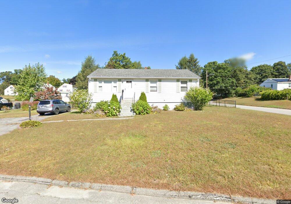
43 Capitol St Methuen, MA 01844
Downtown Methuen NeighborhoodEstimated Value: $520,000 - $634,000
3
Beds
1
Bath
1,664
Sq Ft
$345/Sq Ft
Est. Value
About This Home
This home is located at 43 Capitol St, Methuen, MA 01844 and is currently estimated at $573,965, approximately $344 per square foot. 43 Capitol St is a home located in Essex County with nearby schools including Mendota Elementary School, Tenney Grammar School, and South Point Elementary School.
Ownership History
Date
Name
Owned For
Owner Type
Purchase Details
Closed on
May 1, 2015
Sold by
Keefe Joyce and Allen James
Bought by
Mann Corey E and Barry Peter
Current Estimated Value
Purchase Details
Closed on
Apr 1, 2008
Sold by
Cain Richard D and Cain Daniel J
Bought by
Keefe Joyce and Allen James
Home Financials for this Owner
Home Financials are based on the most recent Mortgage that was taken out on this home.
Original Mortgage
$239,900
Interest Rate
5.76%
Mortgage Type
Purchase Money Mortgage
Create a Home Valuation Report for This Property
The Home Valuation Report is an in-depth analysis detailing your home's value as well as a comparison with similar homes in the area
Home Values in the Area
Average Home Value in this Area
Purchase History
| Date | Buyer | Sale Price | Title Company |
|---|---|---|---|
| Mann Corey E | $270,000 | -- | |
| Keefe Joyce | $239,900 | -- | |
| Keefe Joyce | $239,900 | -- |
Source: Public Records
Mortgage History
| Date | Status | Borrower | Loan Amount |
|---|---|---|---|
| Previous Owner | Keefe Joyce | $239,900 | |
| Previous Owner | Keefe Joyce | $30,000 |
Source: Public Records
Tax History Compared to Growth
Tax History
| Year | Tax Paid | Tax Assessment Tax Assessment Total Assessment is a certain percentage of the fair market value that is determined by local assessors to be the total taxable value of land and additions on the property. | Land | Improvement |
|---|---|---|---|---|
| 2025 | $4,677 | $442,100 | $209,300 | $232,800 |
| 2024 | $4,602 | $423,800 | $190,900 | $232,900 |
| 2023 | $12,105 | $371,900 | $169,700 | $202,200 |
| 2022 | $12,488 | $306,400 | $141,400 | $165,000 |
| 2021 | $12,064 | $284,100 | $134,400 | $149,700 |
| 2020 | $11,727 | $278,200 | $134,400 | $143,800 |
| 2019 | $11,387 | $248,000 | $120,200 | $127,800 |
| 2018 | $10,864 | $240,700 | $120,200 | $120,500 |
| 2017 | $9,931 | $227,400 | $120,200 | $107,200 |
| 2016 | $3,175 | $214,400 | $113,200 | $101,200 |
| 2015 | $3,076 | $210,700 | $113,200 | $97,500 |
Source: Public Records
Map
Nearby Homes
- 37 Maplewood Ave
- 17-19 Maplewood Ave
- 190-192 Oakland Ave
- 197 Oakland Ave
- 65 Clayton Ave
- 35 Memorial Dr
- 83 Arnold St
- 362 Lowell St
- 20-22 Ashland Ave
- 8 Francella Rd
- 47 Lowell St
- 134 Haverhill St
- 2 Glen Forest Ln
- 24 Railroad St
- 11 Vineyard Ln Unit 11
- 945 Riverside Dr Unit 2A
- 32 Glen Ave
- 23 Chase St
- 47 Hallenan Ave
- 88-90 Columbus Ave