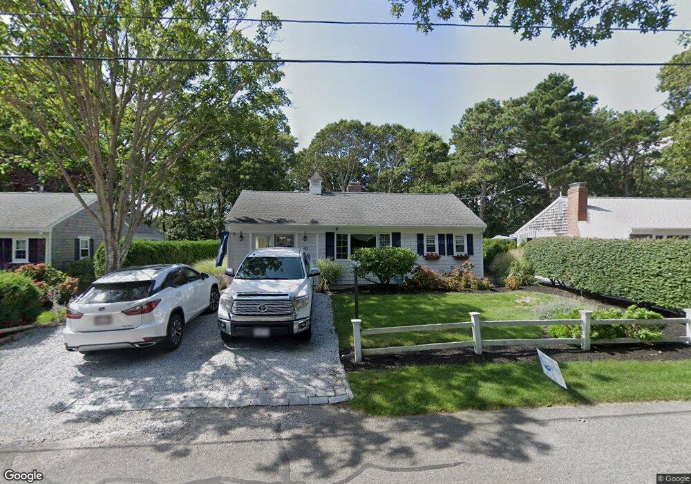
43 Captain Chase Rd Dennis Port, MA 02639
Dennis Port NeighborhoodEstimated Value: $452,000 - $593,000
2
Beds
1
Bath
800
Sq Ft
$694/Sq Ft
Est. Value
About This Home
This home is located at 43 Captain Chase Rd, Dennis Port, MA 02639 and is currently estimated at $555,138, approximately $693 per square foot. 43 Captain Chase Rd is a home located in Barnstable County with nearby schools including Dennis-Yarmouth Regional High School and St. Pius X. School.
Ownership History
Date
Name
Owned For
Owner Type
Purchase Details
Closed on
Oct 20, 1994
Sold by
Sheeran James H
Bought by
Mcgurty Thomas
Current Estimated Value
Home Financials for this Owner
Home Financials are based on the most recent Mortgage that was taken out on this home.
Original Mortgage
$83,250
Interest Rate
8.49%
Mortgage Type
Purchase Money Mortgage
Create a Home Valuation Report for This Property
The Home Valuation Report is an in-depth analysis detailing your home's value as well as a comparison with similar homes in the area
Home Values in the Area
Average Home Value in this Area
Purchase History
| Date | Buyer | Sale Price | Title Company |
|---|---|---|---|
| Mcgurty Thomas | $92,500 | -- |
Source: Public Records
Mortgage History
| Date | Status | Borrower | Loan Amount |
|---|---|---|---|
| Open | Mcgurty Thomas | $85,000 | |
| Closed | Mcgurty Thomas | $83,250 |
Source: Public Records
Tax History Compared to Growth
Tax History
| Year | Tax Paid | Tax Assessment Tax Assessment Total Assessment is a certain percentage of the fair market value that is determined by local assessors to be the total taxable value of land and additions on the property. | Land | Improvement |
|---|---|---|---|---|
| 2025 | $2,255 | $520,800 | $190,100 | $330,700 |
| 2024 | $2,086 | $475,100 | $182,800 | $292,300 |
| 2023 | $2,004 | $429,200 | $166,200 | $263,000 |
| 2022 | $1,914 | $341,800 | $149,700 | $192,100 |
| 2021 | $1,959 | $324,900 | $167,700 | $157,200 |
| 2020 | $1,765 | $289,300 | $146,700 | $142,600 |
| 2019 | $0 | $272,200 | $143,900 | $128,300 |
| 2018 | $0 | $253,600 | $137,000 | $116,600 |
| 2017 | $0 | $240,000 | $127,200 | $112,800 |
| 2016 | $1,524 | $233,400 | $137,000 | $96,400 |
| 2015 | $1,494 | $233,400 | $137,000 | $96,400 |
| 2014 | $1,358 | $213,800 | $117,400 | $96,400 |
Source: Public Records
Map
Nearby Homes
- 31 Easy St
- 22 Wixon Rd
- 19 Standish Way
- 80 Michaels Ave
- 4 Coffey Ln
- 72 Bassett Ln
- 125 Main St Unit 3
- 71 Main St
- 268 Main St
- 12 Spoonbill Rd
- 22 Ferncliff Rd
- 37 Ocean Dr Unit 2
- 64 Beaten Rd
- 37 Beach Hills Rd
- 37-A Beach Hills Rd
- 262 Old Wharf Rd Unit 67
- 262 Old Wharf Rd Unit 5
- 262 Old Wharf Rd Unit 5
- 262 Old Wharf Rd Unit 20
- 262 Old Wharf Rd Unit 87
- 45 Captain Chase Rd
- 39 Captain Chase Rd
- 44 Captain Chase Rd
- 46 Captain Chase Rd
- 49 Captain Chase Rd
- 35 Captain Chase Rd
- 4 3rd Mate Row
- 3 Quartermaster Row
- 51 Captain Chase Rd
- 10 Siasconset Ave
- 8 3rd Mate Row
- 2 Quartermaster Row
- 54 Captain Chase Rd
- 5 Quartermaster Row
- 31 Captain Chase Rd
- 55 Captain Chase Rd
- 53 Siasconset Ave
- 51 Siasconset Ave
- 51 Siasconset Ave Unit 1
- 57 Siasconset Ave