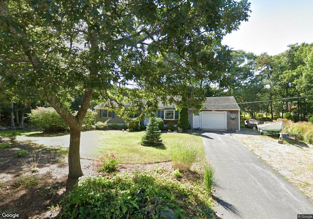
43 Captain Prestons Rd Dennis, MA 02638
Dennis Village NeighborhoodEstimated Value: $591,902 - $724,000
3
Beds
1
Bath
1,056
Sq Ft
$627/Sq Ft
Est. Value
About This Home
This home is located at 43 Captain Prestons Rd, Dennis, MA 02638 and is currently estimated at $662,476, approximately $627 per square foot. 43 Captain Prestons Rd is a home located in Barnstable County with nearby schools including Dennis-Yarmouth Regional High School and St. Pius X. School.
Ownership History
Date
Name
Owned For
Owner Type
Purchase Details
Closed on
Apr 17, 1970
Bought by
Converse Craig F and Converse Emilie
Current Estimated Value
Create a Home Valuation Report for This Property
The Home Valuation Report is an in-depth analysis detailing your home's value as well as a comparison with similar homes in the area
Home Values in the Area
Average Home Value in this Area
Purchase History
| Date | Buyer | Sale Price | Title Company |
|---|---|---|---|
| Converse Craig F | -- | -- |
Source: Public Records
Tax History Compared to Growth
Tax History
| Year | Tax Paid | Tax Assessment Tax Assessment Total Assessment is a certain percentage of the fair market value that is determined by local assessors to be the total taxable value of land and additions on the property. | Land | Improvement |
|---|---|---|---|---|
| 2025 | $2,410 | $556,600 | $180,300 | $376,300 |
| 2024 | $2,300 | $524,000 | $181,700 | $342,300 |
| 2023 | $2,224 | $476,300 | $165,100 | $311,200 |
| 2022 | $2,042 | $364,700 | $135,200 | $229,500 |
| 2021 | $1,943 | $322,200 | $132,600 | $189,600 |
| 2020 | $1,858 | $304,600 | $132,600 | $172,000 |
| 2019 | $1,837 | $297,800 | $143,000 | $154,800 |
| 2018 | $1,676 | $264,400 | $123,700 | $140,700 |
| 2017 | $1,598 | $259,900 | $123,700 | $136,200 |
| 2016 | $1,752 | $268,300 | $154,700 | $113,600 |
| 2015 | $1,717 | $268,300 | $154,700 | $113,600 |
| 2014 | $1,507 | $237,300 | $123,700 | $113,600 |
Source: Public Records
Map
Nearby Homes
- 59 Main St Unit 19-2
- 59 Route 6a Unit 29-4
- 6 Nimble Hill Dr
- 13 Covey Dr
- 268 Main St
- 51 Bray Farm Rd N
- 111 Merchant Ave
- 44 Stratford Ln
- 64 Kates Path
- 4 Ebb Rd
- 42 John Hall Cartway Unit 42
- 34 Kates Path
- 34 Kates Path Unit 34
- 50 John Hall Cartway
- 50 John Hall Cartway Unit 50
- 228 Kates Path
- 17 Kates Path Unit A
- 153 Bayridge Dr
- 43 Canterbury Rd
- 11 Uncle Stanleys Way
- 1 Marian Way
- 37 Captain Prestons Rd
- 3 Marian Way
- 38 Captain Prestons Rd
- 32 Captain Prestons Rd
- 44 Captain Preston's Rd
- 44 Captain Prestons Rd
- 4 Marian Way
- 29 Captain Prestons Rd
- 26 Captain Prestons Rd
- 65 S Yarmouth Rd
- 5 Marian Way
- 61 S Yarmouth Rd
- 59 Captain Prestons Rd
- 50 Captain Prestons Rd
- 73 S Yarmouth Rd
- 59 Captain Prestons Rd
- 53 S Yarmouth Rd
- 23 Capt Prestons Rd
- 20 Captain Prestons Rd