43 Carter Ct Plattsburgh, NY 12901
Estimated Value: $158,000 - $195,425
About This Home
This home is located at 43 Carter Ct, Plattsburgh, NY 12901 and is currently estimated at $185,606, approximately $133 per square foot. 43 Carter Ct is a home located in Clinton County with nearby schools including Peru Elementary School and Peru Jr./Sr. High School.
Ownership History
We collect this data history from publicly available records. To have your information removed, we recommend requesting removal directly through your county’s website.
Purchase Details
Home Financials for this Owner
Home Financials are based on the most recent Mortgage that was taken out on this home.Purchase Details
Purchase History
We collect this data history from publicly available records. To have your information removed, we recommend requesting removal directly through your county’s website.
| Date | Buyer | Sale Price | Title Company |
|---|---|---|---|
| $80,000 | Brian Snell | ||
| $70,100 | None |
Mortgage History
We collect this data history from publicly available records. To have your information removed, we recommend requesting removal directly through your county’s website.
| Date | Status | Borrower | Loan Amount |
|---|---|---|---|
| Open | $64,000 |
Tax History
We collect this data history from publicly available records. To have your information removed, we recommend requesting removal directly through your county’s website.
| Year | Tax Paid | Tax Assessment Tax Assessment Total Assessment is a certain percentage of the fair market value that is determined by local assessors to be the total taxable value of land and additions on the property. | Land | Improvement |
|---|---|---|---|---|
| 2025 | $939 | $125,000 | $28,500 | $96,500 |
| 2024 | $3,547 | $125,000 | $28,500 | $96,500 |
| 2023 | $3,549 | $125,000 | $28,500 | $96,500 |
| 2022 | $3,489 | $125,000 | $28,500 | $96,500 |
| 2021 | $3,420 | $125,000 | $28,500 | $96,500 |
| 2020 | $2,810 | $125,000 | $28,500 | $96,500 |
| 2019 | $2,749 | $125,000 | $30,500 | $94,500 |
| 2018 | $2,749 | $125,000 | $30,500 | $94,500 |
| 2017 | $2,657 | $125,000 | $30,500 | $94,500 |
| 2016 | $2,614 | $125,000 | $30,500 | $94,500 |
| 2015 | -- | $125,000 | $30,500 | $94,500 |
| 2014 | -- | $132,400 | $22,500 | $109,900 |
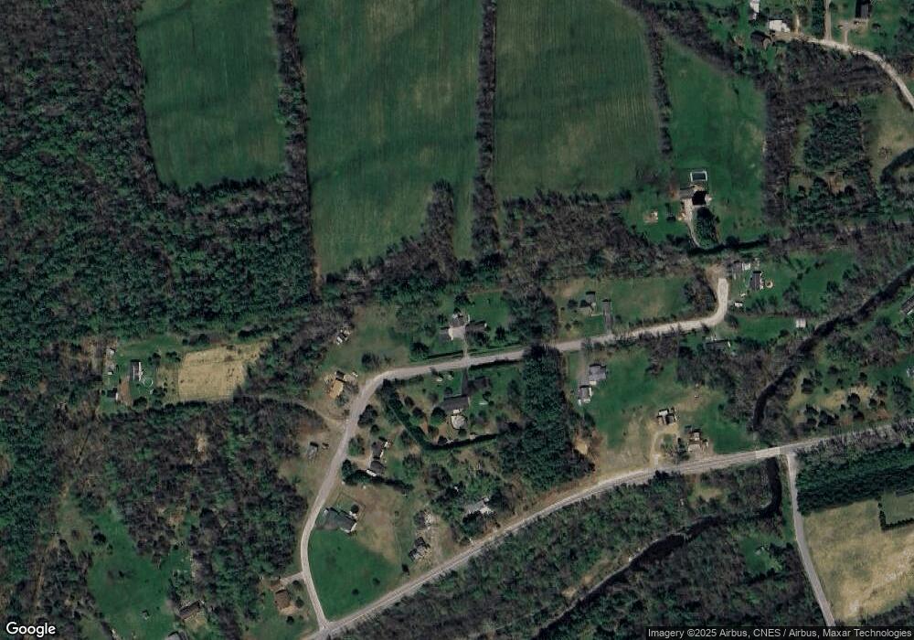
Map
- 371 Fox Farm Rd
- 0 Rockwell Rd
- 119 Rockwell Rd
- 0 Smart Rd
- 659 Salmon River Rd
- 1 Rivers Edge Dr
- 17 Lauradee Dr
- 0 River Bend Dr
- 13 Fleming Way
- 52 Pocket Hill Rd
- 947 New York 22b
- 476 Mason St
- 16 Gary Way
- 68 Rosbo Ln
- 1059 Military Turnpike
- 240 Norrisville Rd
- 92 Arnold Rd
- 382 S Junction Rd
- 10 Debra Ln
- 3486 New York 22
- 40 Carter Ct
- 57 Carter Ct
- 58 Carter Ct
- 27 Carter Ct
- 450 Salmon River Rd
- 24 Carter Ct
- 19 Carter Ct
- 460 Salmon River Rd
- 424 Salmon River Rd
- 14 Carter Ct
- 457 Salmon River Rd
- 56 Miner Rd
- 78 Carter Ct
- 3 Carter Ct
- 23 Carter Ct
- 490 Salmon River Rd
- 35 McGee Rd
- 15 Miner Rd
- 494 Salmon River Rd
- 392 Salmon River Rd
Ask me questions while you tour the home.