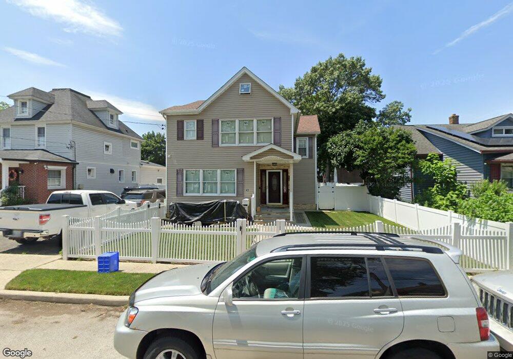
43 Charles St Roosevelt, NY 11575
Estimated Value: $469,000 - $656,576
--
Bed
2
Baths
1,528
Sq Ft
$368/Sq Ft
Est. Value
About This Home
This home is located at 43 Charles St, Roosevelt, NY 11575 and is currently estimated at $562,788, approximately $368 per square foot. 43 Charles St is a home located in Nassau County with nearby schools including Roosevelt Middle School, Roosevelt High School, and Roosevelt Children's Academy.
Ownership History
Date
Name
Owned For
Owner Type
Purchase Details
Closed on
May 31, 2007
Sold by
Persaud Mukesh
Bought by
Delva Lesly
Current Estimated Value
Purchase Details
Closed on
Aug 3, 2006
Sold by
Mullings Michael
Bought by
Persaud Mukesh
Purchase Details
Closed on
Jan 22, 2001
Purchase Details
Closed on
Mar 30, 1995
Sold by
Agosto Emilio and Agosto Maria
Bought by
Mullings Michael
Home Financials for this Owner
Home Financials are based on the most recent Mortgage that was taken out on this home.
Original Mortgage
$126,750
Interest Rate
8.66%
Create a Home Valuation Report for This Property
The Home Valuation Report is an in-depth analysis detailing your home's value as well as a comparison with similar homes in the area
Home Values in the Area
Average Home Value in this Area
Purchase History
| Date | Buyer | Sale Price | Title Company |
|---|---|---|---|
| Delva Lesly | $420,000 | -- | |
| Persaud Mukesh | $321,300 | -- | |
| -- | -- | -- | |
| Mullings Michael | $127,000 | -- |
Source: Public Records
Mortgage History
| Date | Status | Borrower | Loan Amount |
|---|---|---|---|
| Previous Owner | Mullings Michael | $126,750 |
Source: Public Records
Tax History Compared to Growth
Tax History
| Year | Tax Paid | Tax Assessment Tax Assessment Total Assessment is a certain percentage of the fair market value that is determined by local assessors to be the total taxable value of land and additions on the property. | Land | Improvement |
|---|---|---|---|---|
| 2025 | $8,913 | $394 | $138 | $256 |
| 2024 | $3,791 | $392 | $138 | $254 |
| 2023 | $8,549 | $354 | $138 | $216 |
| 2022 | $8,549 | $352 | $138 | $214 |
| 2021 | $11,300 | $333 | $130 | $203 |
| 2020 | $9,216 | $616 | $352 | $264 |
| 2019 | $9,476 | $616 | $352 | $264 |
| 2018 | $9,089 | $607 | $0 | $0 |
| 2017 | $4,393 | $607 | $352 | $255 |
| 2016 | $8,199 | $607 | $352 | $255 |
| 2015 | $3,634 | $607 | $352 | $255 |
| 2014 | $3,634 | $607 | $352 | $255 |
| 2013 | $3,442 | $607 | $352 | $255 |
Source: Public Records
Map
Nearby Homes
- 36 John St
- 94 Woods Ave
- 31 Cedar St
- 293 Pennsylvania Ave
- 1154 Cramer Ct
- 242 W Centennial Ave
- 62 Alhambra Rd
- 76 Henry St
- 107 W Roosevelt Ave
- 87 W Clinton Ave
- 1109 Cramer Ct
- 325 Pennsylvania Ave
- 1091 Cramer Ct
- 1070 Cramer Ct
- 20 E Roosevelt Ave
- 35 W Raymond Ave
- 36 Alhambra Rd
- 3 Maple Dr
- 1020 Henhawk Rd
- 1245 Lynne St