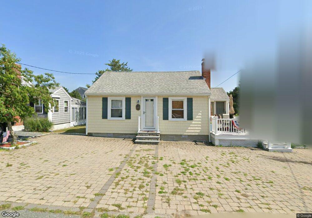
43 Charlotte St Marshfield, MA 02050
Ocean Bluff-Brant Rock NeighborhoodEstimated Value: $496,207 - $716,000
2
Beds
1
Bath
572
Sq Ft
$1,074/Sq Ft
Est. Value
About This Home
This home is located at 43 Charlotte St, Marshfield, MA 02050 and is currently estimated at $614,052, approximately $1,073 per square foot. 43 Charlotte St is a home located in Plymouth County with nearby schools including Daniel Webster, Furnace Brook Middle School, and Marshfield High School.
Ownership History
Date
Name
Owned For
Owner Type
Purchase Details
Closed on
Jul 25, 2011
Sold by
Turco Alfred J and Turco Bonnie J
Bought by
Needham Marshfield Pro
Current Estimated Value
Purchase Details
Closed on
Sep 22, 2003
Sold by
Bradbury William F
Bought by
Turco Alfred J and Turco Bonnie J
Purchase Details
Closed on
Jul 2, 1990
Sold by
Marie E Hogan
Bought by
Bradbury William F
Home Financials for this Owner
Home Financials are based on the most recent Mortgage that was taken out on this home.
Original Mortgage
$75,000
Interest Rate
10.27%
Mortgage Type
Purchase Money Mortgage
Create a Home Valuation Report for This Property
The Home Valuation Report is an in-depth analysis detailing your home's value as well as a comparison with similar homes in the area
Home Values in the Area
Average Home Value in this Area
Purchase History
| Date | Buyer | Sale Price | Title Company |
|---|---|---|---|
| Needham Marshfield Pro | -- | -- | |
| Needham Marshfield Pro | -- | -- | |
| Turco Alfred J | $305,000 | -- | |
| Turco Alfred J | $305,000 | -- | |
| Bradbury William F | $100,000 | -- |
Source: Public Records
Mortgage History
| Date | Status | Borrower | Loan Amount |
|---|---|---|---|
| Previous Owner | Bradbury William F | $69,500 | |
| Previous Owner | Bradbury William F | $10,000 | |
| Previous Owner | Bradbury William F | $75,000 | |
| Previous Owner | Bradbury William F | $75,000 |
Source: Public Records
Tax History Compared to Growth
Tax History
| Year | Tax Paid | Tax Assessment Tax Assessment Total Assessment is a certain percentage of the fair market value that is determined by local assessors to be the total taxable value of land and additions on the property. | Land | Improvement |
|---|---|---|---|---|
| 2025 | $4,204 | $424,600 | $317,600 | $107,000 |
| 2024 | $4,135 | $398,000 | $297,800 | $100,200 |
| 2023 | $3,936 | $351,400 | $268,000 | $83,400 |
| 2022 | $3,936 | $303,900 | $228,300 | $75,600 |
| 2021 | $3,793 | $287,600 | $218,400 | $69,200 |
| 2020 | $3,394 | $254,600 | $188,600 | $66,000 |
| 2019 | $3,364 | $251,400 | $188,600 | $62,800 |
| 2018 | $3,244 | $242,600 | $188,600 | $54,000 |
| 2017 | $3,101 | $226,000 | $178,700 | $47,300 |
| 2016 | $2,998 | $216,000 | $168,700 | $47,300 |
| 2015 | $2,871 | $216,000 | $168,700 | $47,300 |
| 2014 | $2,925 | $220,100 | $168,700 | $51,400 |
Source: Public Records
Map
Nearby Homes
- 47 Charlotte St
- 39 Charlotte St
- 51 Charlotte St
- 253 Standish St
- 40 Richard St
- 48 Richard St
- 48 Charlotte St
- 40 Charlotte St
- 243 Standish St
- 52 Richard St
- 36 Charlotte St
- 29 Charlotte St
- 52 Charlotte St
- 244 Standish St
- 49 Richard St
- 233 Standish St
- 262 Standish St
- 23 Charlotte St
- 23 Charlotte St Unit 1
- 45 Abbey St