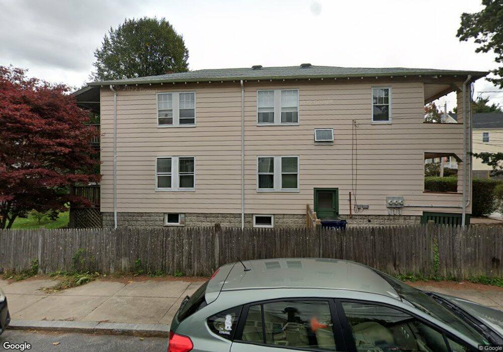
43 Coniston Rd Unit 2 Roslindale, MA 02131
Roslindale NeighborhoodEstimated Value: $617,000 - $718,000
3
Beds
1
Bath
942
Sq Ft
$686/Sq Ft
Est. Value
About This Home
This home is located at 43 Coniston Rd Unit 2, Roslindale, MA 02131 and is currently estimated at $646,133, approximately $685 per square foot. 43 Coniston Rd Unit 2 is a home located in Suffolk County with nearby schools including Brooke Charter School Roslindale, Holy Name Parish School, and Sacred Heart STEM School.
Ownership History
Date
Name
Owned For
Owner Type
Purchase Details
Closed on
Feb 17, 2004
Sold by
Quinn Kathryn J and Orlinick Jason
Bought by
Kaufman Mary L
Current Estimated Value
Home Financials for this Owner
Home Financials are based on the most recent Mortgage that was taken out on this home.
Original Mortgage
$25,001
Outstanding Balance
$11,717
Interest Rate
5.82%
Mortgage Type
Purchase Money Mortgage
Estimated Equity
$634,416
Create a Home Valuation Report for This Property
The Home Valuation Report is an in-depth analysis detailing your home's value as well as a comparison with similar homes in the area
Home Values in the Area
Average Home Value in this Area
Purchase History
| Date | Buyer | Sale Price | Title Company |
|---|---|---|---|
| Kaufman Mary L | $293,000 | -- |
Source: Public Records
Mortgage History
| Date | Status | Borrower | Loan Amount |
|---|---|---|---|
| Open | Kaufman Mary L | $25,001 |
Source: Public Records
Tax History Compared to Growth
Tax History
| Year | Tax Paid | Tax Assessment Tax Assessment Total Assessment is a certain percentage of the fair market value that is determined by local assessors to be the total taxable value of land and additions on the property. | Land | Improvement |
|---|---|---|---|---|
| 2025 | $6,552 | $565,800 | $0 | $565,800 |
| 2024 | $5,528 | $507,200 | $0 | $507,200 |
| 2023 | $5,340 | $497,200 | $0 | $497,200 |
| 2022 | $5,057 | $464,800 | $0 | $464,800 |
| 2021 | $4,812 | $451,000 | $0 | $451,000 |
| 2020 | $3,961 | $375,100 | $0 | $375,100 |
| 2019 | $3,852 | $365,500 | $0 | $365,500 |
| 2018 | $3,566 | $340,300 | $0 | $340,300 |
| 2017 | $3,431 | $324,000 | $0 | $324,000 |
| 2016 | $3,269 | $297,200 | $0 | $297,200 |
| 2015 | $2,902 | $239,600 | $0 | $239,600 |
| 2014 | $2,862 | $227,500 | $0 | $227,500 |
Source: Public Records
Map
Nearby Homes
- 74 Selwyn St Unit 2
- 57 Ardale St
- 38 Hazelmere Rd
- 27 Sheffield Rd Unit 3
- 46 Cotton St Unit 46
- 22 Walter St Unit 2
- 2 Weld Hill St Unit 301
- 2 Weld Hill St Unit PH2
- 2 Weld Hill St Unit 302
- 127 Selwyn St
- 66 Farquhar St Unit A
- 79 Robert St Unit 3
- 1487 Centre St Unit 1
- 15 S Fairview St Unit 3
- 18 Robert St Unit 14
- 18 Robert St Unit 4
- 69 Bradfield Ave Unit 1
- 20 Taft Hill Park Unit 5
- 14 Ravenna Rd
- 103 Belgrade Ave Unit 2
- 43 Coniston Rd Unit 1
- 43 Coniston Rd Unit 2,43
- 41 Coniston Rd
- 39 Coniston Rd
- 44 Selwyn St
- 52 Selwyn St
- 52 Selwyn St
- 52 Selwyn St Unit 1
- 52 Selwyn St Unit 2
- 45 Selwyn St
- 47 Selwyn St Unit 49
- 35 Coniston Rd
- 35 Coniston Rd Unit 1
- 2 Robken Rd
- 51 Selwyn St
- 42 Coniston Rd
- 56 Selwyn St
- 56 Selwyn St Unit 1
- 40 Coniston Rd
- 55 Selwyn St