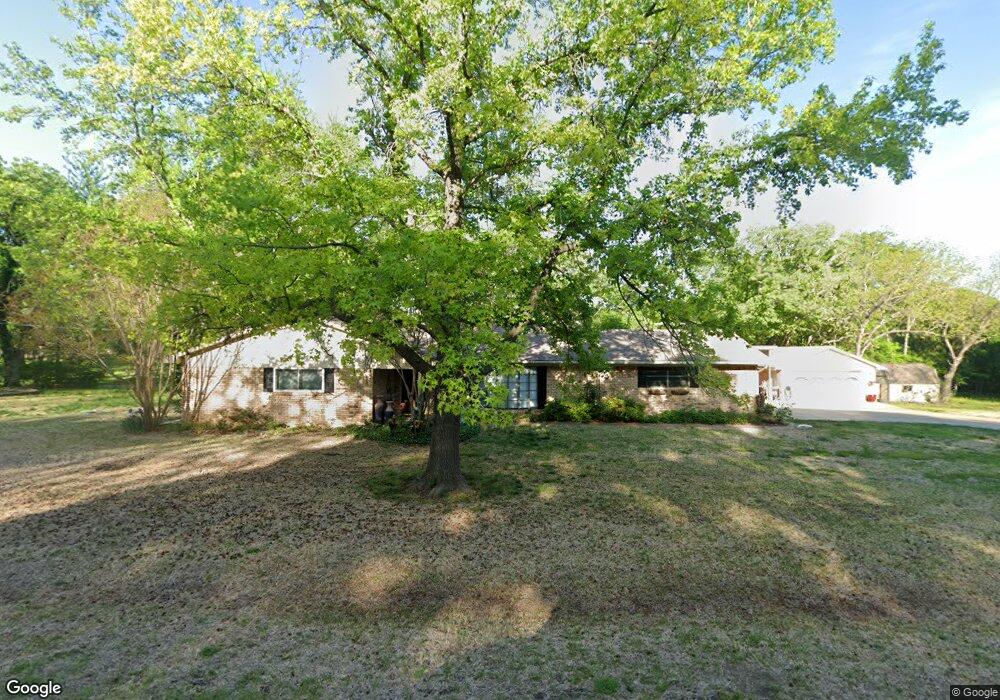
43 Coushatta Dr Denison, TX 75020
Estimated Value: $384,183 - $428,000
Studio
--
Bath
1,873
Sq Ft
$217/Sq Ft
Est. Value
About This Home
This home is located at 43 Coushatta Dr, Denison, TX 75020 and is currently estimated at $406,546, approximately $217 per square foot. 43 Coushatta Dr is a home located in Grayson County with nearby schools including Mayes Elementary School, Scott Middle School, and Denison High School.
Ownership History
Date
Name
Owned For
Owner Type
Purchase Details
Closed on
May 18, 2007
Sold by
Kelley J C Kathleen and Kelley Ryan M
Bought by
Bush Ronald W and Bush Mary L
Current Estimated Value
Home Financials for this Owner
Home Financials are based on the most recent Mortgage that was taken out on this home.
Original Mortgage
$54,000
Interest Rate
6.17%
Mortgage Type
Stand Alone Second
Create a Home Valuation Report for This Property
The Home Valuation Report is an in-depth analysis detailing your home's value as well as a comparison with similar homes in the area
Home Values in the Area
Average Home Value in this Area
Purchase History
| Date | Buyer | Sale Price | Title Company |
|---|---|---|---|
| Bush Ronald W | -- | Grayson County Title |
Source: Public Records
Mortgage History
| Date | Status | Borrower | Loan Amount |
|---|---|---|---|
| Closed | Bush Ronald W | $54,000 | |
| Open | Bush Ronald W | $126,000 |
Source: Public Records
Tax History
| Year | Tax Paid | Tax Assessment Tax Assessment Total Assessment is a certain percentage of the fair market value that is determined by local assessors to be the total taxable value of land and additions on the property. | Land | Improvement |
|---|---|---|---|---|
| 2025 | $748 | $378,527 | -- | -- |
| 2024 | $5,545 | $344,115 | $0 | $0 |
| 2023 | $748 | $312,832 | $0 | $0 |
| 2022 | $4,903 | $284,393 | $0 | $0 |
| 2021 | $4,835 | $280,871 | $56,000 | $224,871 |
| 2020 | $4,667 | $271,503 | $46,000 | $225,503 |
| 2019 | $4,526 | $266,819 | $41,000 | $225,819 |
| 2018 | $4,158 | $256,821 | $41,000 | $215,821 |
| 2017 | $3,461 | $195,756 | $35,314 | $160,442 |
| 2016 | $3,100 | $151,203 | $33,250 | $117,953 |
Source: Public Records
Map
Nearby Homes
- 5300 Highland Dr
- 106 Glenwood Dr
- 20 Golf Walk Cir
- 334 Golf Walk Cir
- 000 TBD Golf Walk Cir
- 3906 Highland Dr
- 3220 Randell Lake Rd
- 2601 Randell Lake Rd
- 2901 W Washington St
- 2811 W Washington St
- 2912 W Elm St
- 1000 Layne Dr
- 2908 W Elm St
- 2820 W Washington St
- 2738 W Washington St
- 2734 W Washington St
- 2626 W Washington St
- 820 Layne Dr
- 2620 W Washington St
- 000 Eisenhower Rd
- 87 Coushatta Dr
- 4006 Texoma Dr
- 72 Coushatta Dr
- 417 Coushatta Dr
- 112 Coushatta Dr
- 4008 Fm 84
- 138 Coushatta Dr
- 412 Coushatta Dr
- 3864 Fm 84
- 169 Coushatta Dr
- 400 Coushatta Dr
- 172 Coushatta Dr
- 367 Coushatta Dr
- 26 Tejas Dr
- 239 Coushatta Dr
- 96 Tejas Dr
- 188 Coushatta Dr
- 376 Coushatta Dr
- 134 Tejas Dr
- TBD Farm To Market 84
Your Personal Tour Guide
Ask me questions while you tour the home.