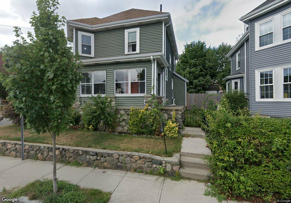
43 Curtis St Waltham, MA 02453
Bank Square NeighborhoodEstimated Value: $699,422 - $860,000
4
Beds
1
Bath
1,534
Sq Ft
$512/Sq Ft
Est. Value
About This Home
This home is located at 43 Curtis St, Waltham, MA 02453 and is currently estimated at $785,106, approximately $511 per square foot. 43 Curtis St is a home located in Middlesex County with nearby schools including William F. Stanley Elementary School, John W. Mcdevitt Middle School, and Waltham Sr High School.
Ownership History
Date
Name
Owned For
Owner Type
Purchase Details
Closed on
Sep 16, 2010
Sold by
Conzo Joseph R
Bought by
Conzo Carol A
Current Estimated Value
Purchase Details
Closed on
Feb 28, 2006
Sold by
Childrens Waltham Medi
Bought by
Childrens Extended Car
Purchase Details
Closed on
Jan 4, 2005
Sold by
Sterling Center Llc
Bought by
Childrens Walt Medica
Purchase Details
Closed on
Feb 23, 2004
Sold by
Conzo Carol Ann
Bought by
Conzo Joseph R
Create a Home Valuation Report for This Property
The Home Valuation Report is an in-depth analysis detailing your home's value as well as a comparison with similar homes in the area
Home Values in the Area
Average Home Value in this Area
Purchase History
| Date | Buyer | Sale Price | Title Company |
|---|---|---|---|
| Conzo Carol A | -- | -- | |
| Conzo Gary J | -- | -- | |
| Childrens Extended Car | -- | -- | |
| Childrens Walt Medica | $49,150,000 | -- | |
| Conzo Joseph R | -- | -- |
Source: Public Records
Tax History Compared to Growth
Tax History
| Year | Tax Paid | Tax Assessment Tax Assessment Total Assessment is a certain percentage of the fair market value that is determined by local assessors to be the total taxable value of land and additions on the property. | Land | Improvement |
|---|---|---|---|---|
| 2025 | $5,875 | $598,300 | $318,100 | $280,200 |
| 2024 | $5,727 | $594,100 | $316,200 | $277,900 |
| 2023 | $5,297 | $513,300 | $303,000 | $210,300 |
| 2022 | $5,384 | $483,300 | $276,600 | $206,700 |
| 2021 | $4,769 | $421,300 | $223,900 | $197,400 |
| 2020 | $4,619 | $386,500 | $197,600 | $188,900 |
| 2019 | $4,254 | $336,000 | $195,600 | $140,400 |
| 2018 | $3,902 | $309,400 | $181,100 | $128,300 |
| 2017 | $3,680 | $293,000 | $164,700 | $128,300 |
| 2016 | $3,586 | $293,000 | $164,700 | $128,300 |
| 2015 | $3,630 | $276,500 | $148,200 | $128,300 |
Source: Public Records
Map
Nearby Homes
- 39 Floyd St Unit 2
- 79-81 Vernon St
- 948 Main St Unit 209
- 948 Main St Unit 105
- 85 Crescent St
- 32 Harvard St Unit 2
- 31 Weston St Unit 2
- 55-57 Crescent St
- 15 Banks St Unit 4
- 15 Howard St
- 43-45 Welligton Unit 3
- 73 Orange St Unit 2
- 15 Alder St Unit 1
- 7-11.5 Felton
- 61 Hall St Unit 1
- 61 Hall St Unit 9
- 61 Hall St Unit 2
- 61 Hall St Unit 7
- 47 Alder St Unit 6
- 40 Myrtle St Unit 9
- 41 Curtis St
- 40 Highland St
- 46 Curtis St
- 44 Curtis St
- 42 Curtis St
- 44 Curtis St Unit 44
- 42 Curtis St Unit 42
- 39 Sharon St Unit 41
- 50 Curtis St
- 48 Highland St
- 19-21 Sharon St
- 19 Sharon St Unit 21
- 49 Sharon St
- 49 Sharon St
- 49 Sharon St Unit 1
- 24 Highland St Unit 26
- 50 Highland St
- 16 Sharon St
- 13-15 Sharon St
- 13 Sharon St Unit 15