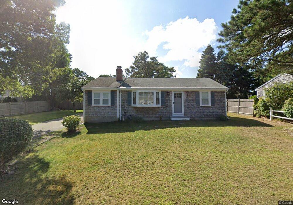
43 Dartmouth Rd West Dennis, MA 02670
West Dennis NeighborhoodEstimated Value: $550,000 - $721,000
2
Beds
1
Bath
1,102
Sq Ft
$553/Sq Ft
Est. Value
About This Home
This home is located at 43 Dartmouth Rd, West Dennis, MA 02670 and is currently estimated at $609,320, approximately $552 per square foot. 43 Dartmouth Rd is a home located in Barnstable County with nearby schools including Dennis-Yarmouth Regional High School and St. Pius X. School.
Ownership History
Date
Name
Owned For
Owner Type
Purchase Details
Closed on
Feb 2, 2017
Sold by
Clark Geraldine T and Dinitto Massimo
Bought by
Clark Geraldine T
Current Estimated Value
Home Financials for this Owner
Home Financials are based on the most recent Mortgage that was taken out on this home.
Original Mortgage
$134,310
Outstanding Balance
$111,513
Interest Rate
4.3%
Mortgage Type
New Conventional
Estimated Equity
$497,807
Purchase Details
Closed on
Oct 20, 1972
Bought by
Clark Geraldine T
Create a Home Valuation Report for This Property
The Home Valuation Report is an in-depth analysis detailing your home's value as well as a comparison with similar homes in the area
Home Values in the Area
Average Home Value in this Area
Purchase History
| Date | Buyer | Sale Price | Title Company |
|---|---|---|---|
| Clark Geraldine T | $127,181 | -- | |
| Clark Geraldine T | -- | -- |
Source: Public Records
Mortgage History
| Date | Status | Borrower | Loan Amount |
|---|---|---|---|
| Open | Clark Geraldine T | $134,310 |
Source: Public Records
Tax History Compared to Growth
Tax History
| Year | Tax Paid | Tax Assessment Tax Assessment Total Assessment is a certain percentage of the fair market value that is determined by local assessors to be the total taxable value of land and additions on the property. | Land | Improvement |
|---|---|---|---|---|
| 2025 | $2,398 | $553,900 | $216,700 | $337,200 |
| 2024 | $2,267 | $516,500 | $208,400 | $308,100 |
| 2023 | $2,193 | $469,500 | $189,400 | $280,100 |
| 2022 | $1,995 | $356,200 | $147,900 | $208,300 |
| 2021 | $1,918 | $318,100 | $145,000 | $173,100 |
| 2020 | $1,895 | $310,700 | $156,100 | $154,600 |
| 2019 | $1,908 | $309,300 | $164,000 | $145,300 |
| 2018 | $1,750 | $276,100 | $145,700 | $130,400 |
| 2017 | $1,673 | $272,000 | $145,700 | $126,300 |
| 2016 | $1,674 | $256,400 | $150,900 | $105,500 |
| 2015 | $1,641 | $256,400 | $150,900 | $105,500 |
| 2014 | $1,636 | $257,600 | $150,900 | $106,700 |
Source: Public Records
Map
Nearby Homes
- 15 Woodside Park Rd
- 12 Spoonbill Rd
- 61 Trotters Ln
- 26 Center St
- 80 Michaels Ave
- 3 Pinefield Ln
- 71 Main St
- 19 Standish Way
- 95 Center St
- 4 Coffey Ln
- 125 Main St Unit 3
- 467 Main St
- 401 Main St Unit 201
- 401 Main St Unit 101
- 22 Wixon Rd
- 31 Easy St
- 37 Ocean Dr Unit 2
- 72 Bassett Ln
- 268 Main St
- 64 Beaten Rd
- 14 Dartmouth Rd
- 40 Princeton Cir
- 45 Dartmouth Rd
- 39 Dartmouth Rd
- 48 Princeton Cir
- 38 Dartmouth Rd
- 36 Princeton Cir
- 42 Dartmouth Rd
- 34 Dartmouth Rd
- 46 Dartmouth Rd
- 51 Dartmouth Rd
- 47 Princeton Cir
- 36 Teal Cir
- 59 Princeton Cir
- 28 Dartmouth Rd
- 41 Princeton Cir
- 32 Princeton Cir
- 55 Princeton Cir
- 63 Princeton Cir
- 17 River Rd