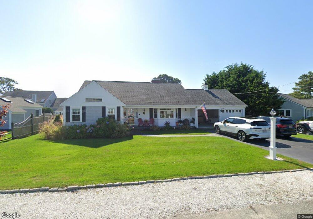
43 Davenport Rd West Dennis, MA 02670
West Dennis NeighborhoodEstimated Value: $1,280,000 - $1,676,000
4
Beds
3
Baths
2,201
Sq Ft
$676/Sq Ft
Est. Value
About This Home
This home is located at 43 Davenport Rd, West Dennis, MA 02670 and is currently estimated at $1,487,475, approximately $675 per square foot. 43 Davenport Rd is a home located in Barnstable County with nearby schools including Dennis-Yarmouth Regional High School and St. Pius X. School.
Ownership History
Date
Name
Owned For
Owner Type
Purchase Details
Closed on
Sep 27, 2011
Sold by
Okeefe Stephen P
Bought by
Okeefe Stephen P and Okeefe Stacy
Current Estimated Value
Home Financials for this Owner
Home Financials are based on the most recent Mortgage that was taken out on this home.
Original Mortgage
$400,000
Interest Rate
4.33%
Mortgage Type
Purchase Money Mortgage
Purchase Details
Closed on
Oct 2, 2003
Sold by
Giroux Eugene X and Giroux Joan W
Bought by
Okeefe Stephen P
Home Financials for this Owner
Home Financials are based on the most recent Mortgage that was taken out on this home.
Original Mortgage
$450,000
Interest Rate
6.25%
Mortgage Type
Purchase Money Mortgage
Create a Home Valuation Report for This Property
The Home Valuation Report is an in-depth analysis detailing your home's value as well as a comparison with similar homes in the area
Home Values in the Area
Average Home Value in this Area
Purchase History
| Date | Buyer | Sale Price | Title Company |
|---|---|---|---|
| Okeefe Stephen P | -- | -- | |
| Okeefe Stephen P | $675,000 | -- |
Source: Public Records
Mortgage History
| Date | Status | Borrower | Loan Amount |
|---|---|---|---|
| Closed | Okeefe Stephen P | $400,000 | |
| Previous Owner | Okeefe Stephen P | $390,000 | |
| Previous Owner | Okeefe Stephen P | $450,000 |
Source: Public Records
Tax History Compared to Growth
Tax History
| Year | Tax Paid | Tax Assessment Tax Assessment Total Assessment is a certain percentage of the fair market value that is determined by local assessors to be the total taxable value of land and additions on the property. | Land | Improvement |
|---|---|---|---|---|
| 2025 | $6,061 | $1,399,700 | $535,900 | $863,800 |
| 2024 | $5,911 | $1,346,500 | $515,400 | $831,100 |
| 2023 | $5,717 | $1,224,100 | $468,500 | $755,600 |
| 2022 | $5,257 | $938,700 | $379,900 | $558,800 |
| 2021 | $5,227 | $866,800 | $372,400 | $494,400 |
| 2020 | $5,006 | $820,700 | $354,700 | $466,000 |
| 2019 | $4,733 | $767,100 | $347,700 | $419,400 |
| 2018 | $4,607 | $726,600 | $331,000 | $395,600 |
| 2017 | $4,469 | $726,600 | $331,000 | $395,600 |
| 2016 | $4,396 | $673,200 | $347,600 | $325,600 |
| 2015 | $4,308 | $673,200 | $347,600 | $325,600 |
| 2014 | $3,860 | $607,900 | $320,000 | $287,900 |
Source: Public Records
Map
Nearby Homes
- 2 Rita Mary Way
- 181 Pleasant St
- 308 Old Main St
- 14 Schoolhouse Ln
- 209 Main St Unit 3
- 209 Main St Unit 6
- 209 Main St Unit 1
- 209 Main St Unit 2
- 209 Main St Unit 4
- 209 Main St Unit 5
- 40 Kelley Rd
- 45 Seth Ln
- 22 Powhatan Rd
- 745 Willow St
- 23 Doric Ave
- 178 School St
- 29 Bass River Rd
- 15 Sharon Rd
- 17 South St
- 18 Turner Ln
- 37 Davenport Rd
- 47 Davenport Rd
- 42 Garfield Ln
- 36 Garfield Ln
- 42 Davenport Rd
- 48 Davenport Rd
- 156 Uncle Barneys Rd
- 48 Garfield Ln
- 38 Davenport Rd
- 33 Davenport Rd
- 32 Garfield Ln
- 32 Davenport Rd
- 160 Uncle Barneys Rd
- 33 Garfield Ln
- 37 Garfield Ln
- 49 Old Field Rd
- 54 Garfield Ln
- 37 Old Field Rd
- 27 Davenport Rd
- 28 Garfield Ln