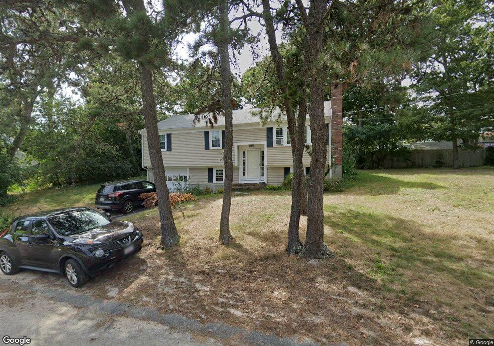
43 Davidson Ave South Dennis, MA 02660
South Dennis NeighborhoodEstimated Value: $527,031 - $592,000
3
Beds
1
Bath
1,080
Sq Ft
$513/Sq Ft
Est. Value
About This Home
This home is located at 43 Davidson Ave, South Dennis, MA 02660 and is currently estimated at $554,008, approximately $512 per square foot. 43 Davidson Ave is a home located in Barnstable County with nearby schools including Dennis-Yarmouth Regional High School and St. Pius X. School.
Ownership History
Date
Name
Owned For
Owner Type
Purchase Details
Closed on
Dec 30, 2010
Sold by
Monahan William M
Bought by
Monahan William M and Monahan Sharon Q
Current Estimated Value
Purchase Details
Closed on
Apr 7, 1986
Bought by
Monahan William M and Monahan Sharon Q
Create a Home Valuation Report for This Property
The Home Valuation Report is an in-depth analysis detailing your home's value as well as a comparison with similar homes in the area
Home Values in the Area
Average Home Value in this Area
Purchase History
| Date | Buyer | Sale Price | Title Company |
|---|---|---|---|
| Monahan William M | -- | -- | |
| Monahan William M | $97,500 | -- |
Source: Public Records
Mortgage History
| Date | Status | Borrower | Loan Amount |
|---|---|---|---|
| Previous Owner | Monahan William M | $30,000 |
Source: Public Records
Tax History Compared to Growth
Tax History
| Year | Tax Paid | Tax Assessment Tax Assessment Total Assessment is a certain percentage of the fair market value that is determined by local assessors to be the total taxable value of land and additions on the property. | Land | Improvement |
|---|---|---|---|---|
| 2025 | $1,945 | $449,300 | $133,300 | $316,000 |
| 2024 | $1,848 | $421,000 | $128,200 | $292,800 |
| 2023 | $1,865 | $399,400 | $116,600 | $282,800 |
| 2022 | $1,730 | $308,900 | $116,700 | $192,200 |
| 2021 | $1,602 | $265,700 | $114,400 | $151,300 |
| 2020 | $1,488 | $244,000 | $114,400 | $129,600 |
| 2019 | $21 | $263,400 | $123,400 | $140,000 |
| 2018 | $22 | $208,400 | $106,800 | $101,600 |
| 2017 | $22 | $208,400 | $106,800 | $101,600 |
| 2016 | $1,278 | $195,700 | $112,100 | $83,600 |
| 2015 | $1,252 | $195,700 | $112,100 | $83,600 |
| 2014 | $1,156 | $182,000 | $96,100 | $85,900 |
Source: Public Records
Map
Nearby Homes
- 17 Margate Ln
- 10 Joanne Dr
- 25 Skerry Rd
- 7 Vinland Dr
- 1 Norseman Dr
- 15 Captain Jud Rd
- 17 Fairmount Rd
- 17 Fairmount Rd
- 153 Bayridge Dr
- 6 Hawthorn St
- 4 Ebb Rd
- 62 Old Fish House Rd
- 118 Driftwood Ln
- 129 Driftwood Ln
- 20 Sycamore Ln
- 13 Covey Dr
- 32 Captain Walsh Dr
- 111 Merchant Ave
- 432 Old Chatham Rd Unit 403
- 432 Old Chatham Rd Unit 103
- 60 Cassidy Ave
- 64 Cassidy Ave
- 48 Davidson Ave
- 49 Davidson Ave
- 49 Davidson Ave Unit 2
- 54 Cassidy Ave
- 37 Davidson Ave
- 42 Davidson Ave
- 68 Cassidy Ave
- 69 Charing Cross Rd
- 54 Davidson Ave
- 63 Charing Cross Rd
- 50 Cassidy Ave
- 36 Davidson Ave
- 57 Cassidy Ave
- 2 Stewarts Ave
- 73 Charing Cross Rd
- 61 Cassidy Ave
- 59 Charing Cross Rd
- 31 Davidson Ave