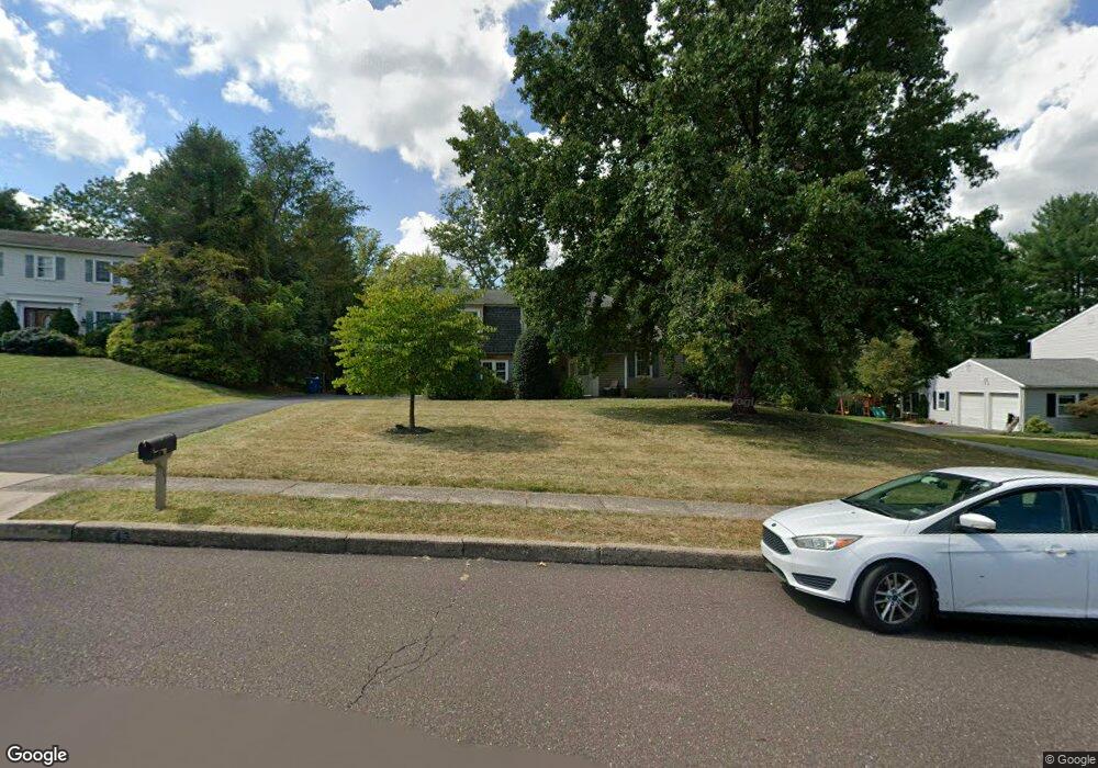
43 Deerpath Rd Chalfont, PA 18914
Estimated Value: $519,000 - $588,000
4
Beds
2
Baths
1,737
Sq Ft
$320/Sq Ft
Est. Value
About This Home
This home is located at 43 Deerpath Rd, Chalfont, PA 18914 and is currently estimated at $555,481, approximately $319 per square foot. 43 Deerpath Rd is a home located in Bucks County with nearby schools including Simon Butler Elementary, Unami Middle School, and Central Bucks High School - South.
Ownership History
Date
Name
Owned For
Owner Type
Purchase Details
Closed on
Jun 26, 1995
Sold by
Yamauchi Shosei C and Yamauchi Donna L
Bought by
Clark Ronald A and Clark Janet S
Current Estimated Value
Home Financials for this Owner
Home Financials are based on the most recent Mortgage that was taken out on this home.
Original Mortgage
$65,000
Interest Rate
7.48%
Purchase Details
Closed on
Oct 22, 1986
Bought by
Yamauchi Shosei C and Yamauchi Donna L
Create a Home Valuation Report for This Property
The Home Valuation Report is an in-depth analysis detailing your home's value as well as a comparison with similar homes in the area
Home Values in the Area
Average Home Value in this Area
Purchase History
| Date | Buyer | Sale Price | Title Company |
|---|---|---|---|
| Clark Ronald A | $184,000 | -- | |
| Yamauchi Shosei C | -- | -- |
Source: Public Records
Mortgage History
| Date | Status | Borrower | Loan Amount |
|---|---|---|---|
| Closed | Clark Ronald A | $65,000 |
Source: Public Records
Tax History
| Year | Tax Paid | Tax Assessment Tax Assessment Total Assessment is a certain percentage of the fair market value that is determined by local assessors to be the total taxable value of land and additions on the property. | Land | Improvement |
|---|---|---|---|---|
| 2025 | $6,088 | $34,000 | $7,640 | $26,360 |
| 2024 | $6,088 | $34,000 | $7,640 | $26,360 |
| 2023 | $5,832 | $34,000 | $7,640 | $26,360 |
| 2022 | $5,768 | $34,000 | $7,640 | $26,360 |
| 2021 | $5,705 | $34,000 | $7,640 | $26,360 |
| 2020 | $5,705 | $34,000 | $7,640 | $26,360 |
| 2019 | $5,671 | $34,000 | $7,640 | $26,360 |
| 2018 | $5,671 | $34,000 | $7,640 | $26,360 |
| 2017 | $5,586 | $34,000 | $7,640 | $26,360 |
| 2016 | $5,586 | $34,000 | $7,640 | $26,360 |
| 2015 | -- | $34,000 | $7,640 | $26,360 |
| 2014 | -- | $34,000 | $7,640 | $26,360 |
Source: Public Records
Map
Nearby Homes
- 79 Lynwood Dr
- 244 Holly Dr
- 100 New Jersey Ave
- 301 Brookside Ct
- 40 E Butler Ave
- 423 Elm Cir
- 217 Pebble Ct
- 102 Railroad Ave
- 323 W Boulder Dr
- 128 Brianna Ct
- 121 Brianna Ct
- 124 Brianna Ct Unit 35
- 124 Brianna Ct
- 119 Brianna Ct Unit 10
- 119 Brianna Ct
- 122 Brianna Ct Unit 36
- 117 Brianna Ct
- 0 S Limekiln Pike
- 115 Brianna Ct
- 32 Marian Cir
Your Personal Tour Guide
Ask me questions while you tour the home.