43 Dunster Rd Holliston, MA 01746
4
Beds
4
Baths
3,270
Sq Ft
2.21
Acres
About This Home
This home is located at 43 Dunster Rd, Holliston, MA 01746. 43 Dunster Rd is a home located in Middlesex County with nearby schools including Miller Elementary School, Robert H. Adams Middle School, and Holliston High School.
Ownership History
Date
Name
Owned For
Owner Type
Purchase Details
Closed on
Mar 2, 2023
Sold by
Sneirson Gerald M
Bought by
Gerald M Sneirson Ft and Sneirson
Purchase Details
Closed on
Apr 16, 2010
Sold by
Losurdo Matthew L and Losurdo Lisa M
Bought by
Sneirson Gerald M
Purchase Details
Closed on
Dec 12, 2006
Sold by
Demayo-Clancy Andrea L and Clancy Bryan J
Bought by
Losurdo Lisa M and Losurdo Matthew L
Purchase Details
Closed on
Sep 30, 1999
Sold by
Saponaro Nicole and Saponaro William
Bought by
Clancy Bryan J and Demayo-Clancy Andrea
Purchase Details
Closed on
Jan 13, 1994
Sold by
Spaonaro William D and Saponaro Barbara J
Bought by
Saponaro Nicole and Saponaro William
Create a Home Valuation Report for This Property
The Home Valuation Report is an in-depth analysis detailing your home's value as well as a comparison with similar homes in the area
Home Values in the Area
Average Home Value in this Area
Purchase History
| Date | Buyer | Sale Price | Title Company |
|---|---|---|---|
| Gerald M Sneirson Ft | -- | None Available | |
| Gerald M Sneirson Ft | -- | None Available | |
| Sneirson Gerald M | $190,000 | -- | |
| Sneirson Gerald M | $190,000 | -- | |
| Losurdo Lisa M | $160,000 | -- | |
| Losurdo Lisa M | $160,000 | -- | |
| Clancy Bryan J | $20,500 | -- | |
| Saponaro Nicole | $1,500 | -- |
Source: Public Records
Tax History Compared to Growth
Tax History
| Year | Tax Paid | Tax Assessment Tax Assessment Total Assessment is a certain percentage of the fair market value that is determined by local assessors to be the total taxable value of land and additions on the property. | Land | Improvement |
|---|---|---|---|---|
| 2025 | $0 | $1,058,900 | $253,600 | $805,300 |
| 2024 | $0 | $882,700 | $253,600 | $629,100 |
| 2023 | $13,751 | $892,900 | $253,600 | $639,300 |
| 2022 | $11,798 | $678,800 | $253,600 | $425,200 |
| 2021 | $11,679 | $654,300 | $241,600 | $412,700 |
| 2020 | $13,448 | $713,400 | $268,000 | $445,400 |
| 2019 | $12,665 | $672,600 | $227,200 | $445,400 |
| 2018 | $12,557 | $672,600 | $227,200 | $445,400 |
| 2017 | $10,901 | $588,600 | $218,400 | $370,200 |
| 2016 | $10,712 | $570,100 | $204,000 | $366,100 |
| 2015 | $10,459 | $539,700 | $171,200 | $368,500 |
Source: Public Records
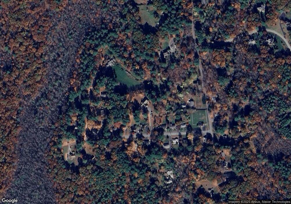
Map
Nearby Homes
- 56 Paul Rd
- Lot 2 Hanlon Rd
- 4 E Charles St
- 85 Fisher St
- 114 Walden Way Unit 114
- 78 Fisher St
- Lot 1 Florence St
- 4 Deerfield Rd
- 15 Free St
- 75 Ridge Rd
- 15 Broad Acres Farm Rd
- 11 Shadowbrook Ln Unit 9
- 3 Shadowbrook Ln Unit 3
- 18 Shadowbrook Ln Unit 17
- 14 Shadowbrook Ln Unit 30
- 6 Rainbow Dr
- 10 Shadowbrook Ln Unit 24
- 8 Shadowbrook Ln Unit 39
- 21 Shadowbrook Ln Unit 13
- 2 Emerald Dr